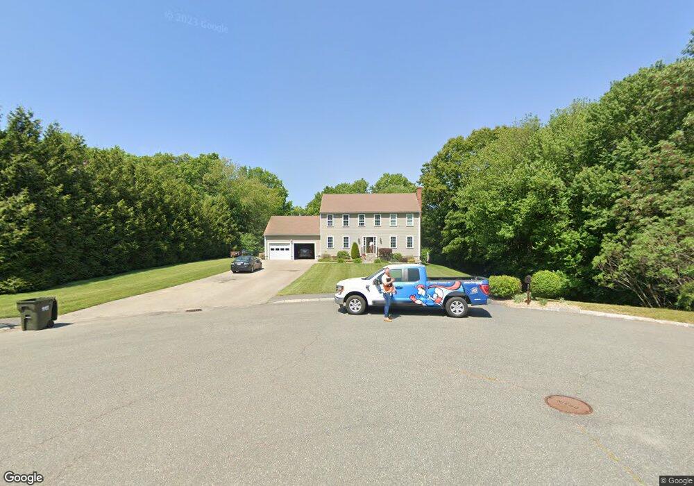
77 Arbor Rd Uxbridge, MA 01569
Uxbridge AreaEstimated Value: $663,574 - $758,000
About This Home
This home is located at 77 Arbor Rd, Uxbridge, MA 01569 and is currently estimated at $694,144, approximately $333 per square foot. 77 Arbor Rd is a home located in Worcester County with nearby schools including Uxbridge High School and Our Lady of the Valley Regional School.
Ownership History
We collect this data history from publicly available records. To have your information removed, we recommend requesting removal directly through your county’s website.
Purchase Details
Home Values in the Area
Average Home Value in this Area
Purchase History
We collect this data history from publicly available records. To have your information removed, we recommend requesting removal directly through your county’s website.
| Date | Buyer | Sale Price | Title Company |
|---|---|---|---|
| $444,329 | -- |
Mortgage History
We collect this data history from publicly available records. To have your information removed, we recommend requesting removal directly through your county’s website.
| Date | Status | Borrower | Loan Amount |
|---|---|---|---|
| Open | $160,000 | ||
| Closed | $184,000 | ||
| Closed | $183,500 |
Tax History
We collect this data history from publicly available records. To have your information removed, we recommend requesting removal directly through your county’s website.
| Year | Tax Paid | Tax Assessment Tax Assessment Total Assessment is a certain percentage of the fair market value that is determined by local assessors to be the total taxable value of land and additions on the property. | Land | Improvement |
|---|---|---|---|---|
| 2025 | $71 | $541,400 | $153,000 | $388,400 |
| 2024 | $6,731 | $521,000 | $145,200 | $375,800 |
| 2023 | $6,435 | $461,300 | $125,600 | $335,700 |
| 2022 | $5,856 | $386,300 | $109,900 | $276,400 |
| 2021 | $6,073 | $383,900 | $107,500 | $276,400 |
| 2020 | $6,291 | $375,800 | $106,000 | $269,800 |
| 2019 | $6,220 | $358,500 | $106,000 | $252,500 |
| 2018 | $6,059 | $352,900 | $106,000 | $246,900 |
| 2017 | $5,570 | $328,400 | $103,700 | $224,700 |
| 2016 | $5,758 | $327,700 | $95,000 | $232,700 |
| 2015 | $5,624 | $323,200 | $95,000 | $228,200 |
Map
- 310 Blackstone St
- 286 Blackstone St
- 85 Old Elmdale Rd
- 85 East St
- 14 Kettle Hill Rd
- 152 S Main St
- 260 Mendon St
- 24 Road Ahr
- 27 Pouts Ln Unit 27
- 27 Pouts Ln
- 27 Charles Ave
- 17 Crownshield Ave Unit 17C
- 18 Crownshield Ave
- 18 Crownshield Ave Unit 18C
- 1 Carpenter Terrace
- 21 Crownshield Ave
- 21 Crownshield Ave Unit 21C
- 16 Crownshield Ave Unit 16B
- 22 Crownshield Ave Unit 22D
- 22 Crownshield Ave Unit 22B
Ask me questions while you tour the home.