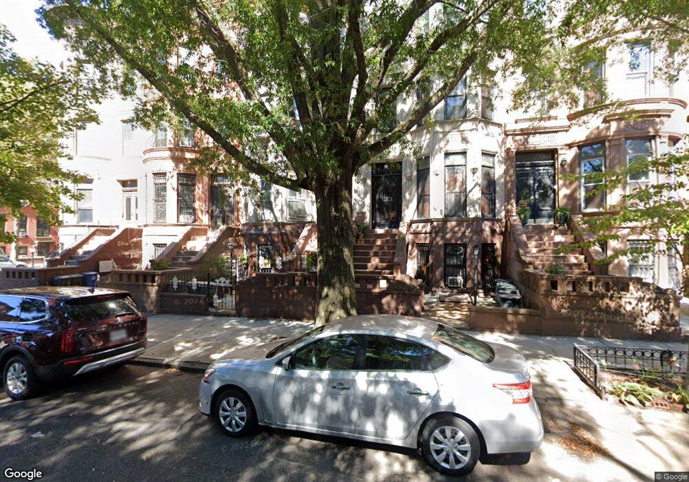
77 Bainbridge St Brooklyn, NY 11233
Bed-Stuy NeighborhoodEstimated Value: $1,913,034 - $2,308,000
Studio
--
Bath
3,984
Sq Ft
$530/Sq Ft
Est. Value
About This Home
This home is located at 77 Bainbridge St, Brooklyn, NY 11233 and is currently estimated at $2,111,009, approximately $529 per square foot. 77 Bainbridge St is a home located in Kings County with nearby schools including P.S. 262 El Hajj Malik El Shabazz Elementary School, Success Academy Charter School-NYC 9, and Brooklyn Ascend Charter School.
Ownership History
Date
Name
Owned For
Owner Type
Purchase Details
Closed on
Dec 14, 1995
Sold by
Thompson Michael D
Bought by
Young Eric and Young Farrell
Current Estimated Value
Home Financials for this Owner
Home Financials are based on the most recent Mortgage that was taken out on this home.
Original Mortgage
$201,000
Outstanding Balance
$4,017
Interest Rate
7.13%
Estimated Equity
$2,106,992
Create a Home Valuation Report for This Property
The Home Valuation Report is an in-depth analysis detailing your home's value as well as a comparison with similar homes in the area
Home Values in the Area
Average Home Value in this Area
Purchase History
| Date | Buyer | Sale Price | Title Company |
|---|---|---|---|
| Young Eric | $212,000 | First American Title Ins Co |
Source: Public Records
Mortgage History
| Date | Status | Borrower | Loan Amount |
|---|---|---|---|
| Open | Young Eric | $201,000 |
Source: Public Records
Tax History
| Year | Tax Paid | Tax Assessment Tax Assessment Total Assessment is a certain percentage of the fair market value that is determined by local assessors to be the total taxable value of land and additions on the property. | Land | Improvement |
|---|---|---|---|---|
| 2025 | $6,786 | $123,360 | $25,380 | $97,980 |
| 2024 | $6,786 | $119,040 | $25,380 | $93,660 |
| 2023 | $5,104 | $146,040 | $25,380 | $120,660 |
| 2022 | $5,006 | $156,060 | $25,380 | $130,680 |
| 2021 | $5,261 | $161,160 | $25,380 | $135,780 |
| 2019 | $5,893 | $156,840 | $25,380 | $131,460 |
| 2018 | $5,367 | $29,559 | $5,450 | $24,109 |
| 2017 | $5,380 | $29,559 | $6,755 | $22,804 |
| 2016 | $5,236 | $29,300 | $9,040 | $20,260 |
| 2015 | $3,144 | $27,643 | $12,516 | $15,127 |
| 2014 | $3,144 | $26,101 | $14,182 | $11,919 |
Source: Public Records
Map
Nearby Homes
- 264 Decatur St
- 271 Decatur St
- 319 Macdonough St
- 325 Macdonough St
- 400 Stuyvesant Ave
- 99 Chauncey St
- 350 Stuyvesant Ave
- 162 Decatur St
- 160 Decatur St Unit 4
- 524 Halsey St Unit TH1
- 524 Halsey St Unit 107
- 524 Halsey St Unit 105
- 485 Halsey St
- 425 Halsey St
- 495 Halsey St
- 505 Macon St
- 416 Halsey St
- 137 Decatur St
- 135 Decatur St
- 426 Macdonough St
- 79 Bainbridge St
- 73 Bainbridge St
- 81 Bainbridge St
- 83 Bainbridge St
- 85 Bainbridge St Unit 2
- 85 Bainbridge St
- 85 Bainbridge St Unit 3
- 87 Bainbridge St
- 89 Bainbridge St
- 228 Decatur St
- 91 Bainbridge St
- 426A Lewis Ave
- 232 Decatur St Unit 4
- 232 Decatur St Unit TH
- 232 Decatur St
- 232 Decatur St Unit 3
- 93 Bainbridge St
- 428 Lewis Ave
- 426 Lewis Ave
- 424 Lewis Ave
Your Personal Tour Guide
Ask me questions while you tour the home.