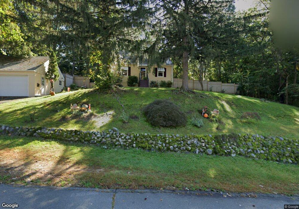
77 Beardsley Ave Naugatuck, CT 06770
Naugatuck AreaEstimated Value: $273,000 - $335,000
About This Home
This home is located at 77 Beardsley Ave, Naugatuck, CT 06770 and is currently estimated at $294,189, approximately $291 per square foot. 77 Beardsley Ave is a home located in New Haven County with nearby schools including City Hill Middle School, Naugatuck High School, and Our Lady Of Mount Carmel School.
Ownership History
We collect this data history from publicly available records. To have your information removed, we recommend requesting removal directly through your county’s website.
Purchase Details
Home Values in the Area
Average Home Value in this Area
Purchase History
We collect this data history from publicly available records. To have your information removed, we recommend requesting removal directly through your county’s website.
| Date | Buyer | Sale Price | Title Company |
|---|---|---|---|
| -- | -- |
Mortgage History
We collect this data history from publicly available records. To have your information removed, we recommend requesting removal directly through your county’s website.
| Date | Status | Borrower | Loan Amount |
|---|---|---|---|
| Closed | $120,000 |
Tax History
We collect this data history from publicly available records. To have your information removed, we recommend requesting removal directly through your county’s website.
| Year | Tax Paid | Tax Assessment Tax Assessment Total Assessment is a certain percentage of the fair market value that is determined by local assessors to be the total taxable value of land and additions on the property. | Land | Improvement |
|---|---|---|---|---|
| 2025 | $5,384 | $135,310 | $32,340 | $102,970 |
| 2024 | $5,655 | $135,310 | $32,340 | $102,970 |
| 2023 | $6,055 | $135,310 | $32,340 | $102,970 |
| 2022 | $4,082 | $85,480 | $34,600 | $50,880 |
| 2021 | $4,082 | $85,480 | $34,600 | $50,880 |
| 2020 | $4,082 | $85,480 | $34,600 | $50,880 |
| 2019 | $4,039 | $85,480 | $34,600 | $50,880 |
| 2018 | $3,985 | $82,420 | $41,640 | $40,780 |
| 2017 | $4,001 | $82,420 | $41,640 | $40,780 |
| 2016 | $3,929 | $82,420 | $41,640 | $40,780 |
| 2015 | $3,756 | $82,420 | $41,640 | $40,780 |
| 2014 | $3,714 | $82,420 | $41,640 | $40,780 |
| 2012 | $4,247 | $126,600 | $52,570 | $74,030 |
Map
- 82 Sande Ave
- 126 Thunderbird Dr
- 461 Spring St Unit 4F
- 1385 Highland Ave Unit 1B
- 2 Michelle Ln
- 925 Oronoke Rd Unit 27F
- 925 Oronoke Rd Unit 32G
- 925 Oronoke Rd Unit 25G
- 925 Oronoke Rd Unit 13J
- 925 Oronoke Rd Unit 31C
- 925 Oronoke Rd Unit 25D
- 925 Oronoke Rd Unit 41D
- 36 Marsh Hill Rd
- 55 Porter Ave Unit 6E
- 14 Horseshoe Dr
- 82 Greenwood St
- 52 Brittany Ln
- 350 Bristol St Unit C12
- 350 Bristol St Unit C5
- 0 Field St Unit 170385250
- 82 Beardsley Ave
- 72 Beardsley Ave
- 68 Beardsley Ave
- 66 Sande Ave
- 100 Sande Ave
- 67 Beardsley Ave
- 76 Sande Ave
- 50 Beardsley Ave
- 60 Sande Ave
- 49 Beardsley Ave
- 0 Sande Ave Unit W1055100
- 00 Sande Ave
- 0 Sande Ave Unit W1067039
- 0 Sande Ave Unit G640349
- 52 Beardsley Ave
- 102 Sande Ave
- 89 Sande Ave
- 69 Sande Ave
- 99 Sande Ave
- 81 Sande Ave
Ask me questions while you tour the home.