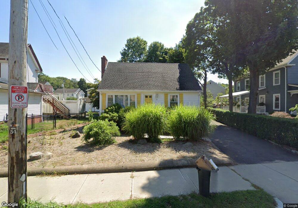
77 Centre St Quincy, MA 02169
South Quincy NeighborhoodEstimated Value: $575,000 - $662,000
3
Beds
2
Baths
1,225
Sq Ft
$500/Sq Ft
Est. Value
About This Home
This home is located at 77 Centre St, Quincy, MA 02169 and is currently estimated at $612,785, approximately $500 per square foot. 77 Centre St is a home located in Norfolk County with nearby schools including South West Middle School, Lincoln-Hancock Community School, and Quincy High School.
Ownership History
Date
Name
Owned For
Owner Type
Purchase Details
Closed on
May 29, 1987
Sold by
Donovan William C
Bought by
Donovan Jenny L
Current Estimated Value
Home Financials for this Owner
Home Financials are based on the most recent Mortgage that was taken out on this home.
Original Mortgage
$55,000
Interest Rate
10.25%
Mortgage Type
Purchase Money Mortgage
Create a Home Valuation Report for This Property
The Home Valuation Report is an in-depth analysis detailing your home's value as well as a comparison with similar homes in the area
Home Values in the Area
Average Home Value in this Area
Purchase History
| Date | Buyer | Sale Price | Title Company |
|---|---|---|---|
| Donovan Jenny L | $52,400 | -- |
Source: Public Records
Mortgage History
| Date | Status | Borrower | Loan Amount |
|---|---|---|---|
| Closed | Donovan Jenny L | $56,100 | |
| Closed | Donovan Jenny L | $55,000 |
Source: Public Records
Tax History
| Year | Tax Paid | Tax Assessment Tax Assessment Total Assessment is a certain percentage of the fair market value that is determined by local assessors to be the total taxable value of land and additions on the property. | Land | Improvement |
|---|---|---|---|---|
| 2025 | $6,181 | $536,100 | $284,000 | $252,100 |
| 2024 | $5,866 | $520,500 | $270,500 | $250,000 |
| 2023 | $5,341 | $479,900 | $245,800 | $234,100 |
| 2022 | $5,121 | $427,500 | $204,900 | $222,600 |
| 2021 | $4,996 | $411,500 | $204,900 | $206,600 |
| 2020 | $4,986 | $401,100 | $204,900 | $196,200 |
| 2019 | $4,606 | $367,000 | $193,300 | $173,700 |
| 2018 | $4,620 | $346,300 | $179,000 | $167,300 |
| 2017 | $4,445 | $313,700 | $170,500 | $143,200 |
| 2016 | $4,064 | $283,000 | $148,200 | $134,800 |
| 2015 | $3,981 | $272,700 | $148,200 | $124,500 |
| 2014 | $3,763 | $253,200 | $148,200 | $105,000 |
Source: Public Records
Map
Nearby Homes
- 9 Westford St
- 132 Centre St
- 84 West St Unit 1
- 21 Arthur St
- 156 West St
- 91 Garfield St
- 211 Copeland St
- 87 Village Dr
- 211 West St Unit 11B
- 211 West St Unit 12B
- 51 Branch St Unit 3
- 79 Gilbert St
- 510 Willard St
- 40 Cross St Unit 1
- 39 Cross St
- 260 West St Unit 7
- 52 Packards Ln Unit 4
- 21 Totman St Unit 205
- 21 Totman St Unit 409
- 21 Totman St Unit 203
- 69 Centre St
- 81 Centre St
- 81 Centre St Unit 2
- 10 Station St
- 38 McDonald St
- 63 Centre St
- 16 Station St
- 78 Centre St
- 39 McDonald St
- 39 McDonald St Unit 39
- 39 McDonald St Unit 41
- 39 McDonald St Unit 2
- 32 McDonald St
- 82 Centre St Unit K
- 82 Centre St Unit J
- 82 Centre St Unit H
- 82 Centre St Unit G
- 82 Centre St Unit F
- 82 Centre St Unit E
- 82 Centre St Unit D
Your Personal Tour Guide
Ask me questions while you tour the home.