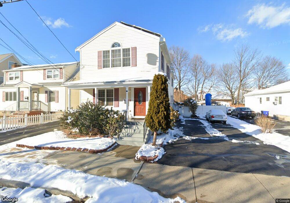
77 Devir St Malden, MA 02148
Edgeworth NeighborhoodEstimated Value: $866,000 - $1,197,000
6
Beds
6
Baths
2,112
Sq Ft
$474/Sq Ft
Est. Value
About This Home
This home is located at 77 Devir St, Malden, MA 02148 and is currently estimated at $1,000,743, approximately $473 per square foot. 77 Devir St is a home located in Middlesex County with nearby schools including Malden High School, Mystic Valley Regional Charter School, and Cheverus Centennial School.
Ownership History
Date
Name
Owned For
Owner Type
Purchase Details
Closed on
Sep 23, 1999
Sold by
Cacciatore Pietro and Cacciatore Patricia
Bought by
Costa Carlos A and Costa Maria H
Current Estimated Value
Purchase Details
Closed on
Jan 18, 1994
Sold by
Kent Anne T and Provost Jeanne A
Bought by
Cacciatore Pietro and Cacciatore Patricia
Create a Home Valuation Report for This Property
The Home Valuation Report is an in-depth analysis detailing your home's value as well as a comparison with similar homes in the area
Home Values in the Area
Average Home Value in this Area
Purchase History
| Date | Buyer | Sale Price | Title Company |
|---|---|---|---|
| Costa Carlos A | $199,700 | -- | |
| Cacciatore Pietro | $125,000 | -- | |
| Cacciatore Pietro | $125,000 | -- |
Source: Public Records
Mortgage History
| Date | Status | Borrower | Loan Amount |
|---|---|---|---|
| Open | Cacciatore Pietro | $253,000 | |
| Closed | Cacciatore Pietro | $264,600 | |
| Closed | Cacciatore Pietro | $150,000 |
Source: Public Records
Tax History
| Year | Tax Paid | Tax Assessment Tax Assessment Total Assessment is a certain percentage of the fair market value that is determined by local assessors to be the total taxable value of land and additions on the property. | Land | Improvement |
|---|---|---|---|---|
| 2025 | $87 | $767,000 | $313,000 | $454,000 |
| 2024 | $8,330 | $712,600 | $295,600 | $417,000 |
| 2023 | $8,045 | $660,000 | $269,500 | $390,500 |
| 2022 | $7,700 | $623,500 | $243,400 | $380,100 |
| 2021 | $7,880 | $641,200 | $217,400 | $423,800 |
| 2020 | $7,925 | $626,500 | $210,000 | $416,500 |
| 2019 | $7,375 | $555,800 | $200,000 | $355,800 |
| 2018 | $7,141 | $506,800 | $165,200 | $341,600 |
| 2017 | $6,955 | $490,800 | $158,700 | $332,100 |
| 2016 | $5,987 | $394,900 | $145,600 | $249,300 |
| 2015 | $5,979 | $380,100 | $138,700 | $241,400 |
| 2014 | $5,664 | $351,800 | $126,100 | $225,700 |
Source: Public Records
Map
Nearby Homes
- 111 Devir St Unit 204
- 118 Avon St
- 320 Middlesex Ave Unit A207
- 320 Middlesex Ave Unit 403 E
- 322 Pearl St
- 122 Woodruff Ave Unit 122
- 19 Amaranth Ave
- 186 West St
- 49 Kenmere Rd
- 43 Kenmere Rd Unit 1
- 12 Amaranth Place Unit 28
- 244 Central Ave Unit 5
- 847 Fellsway
- 217 Highland Ave Unit 2
- 141 4th St
- 59 Myrtle St
- 115 Emerald St
- 117 Emerald St Unit 117
- 8A 3rd St
- 10 Chipman St Unit 10
Your Personal Tour Guide
Ask me questions while you tour the home.