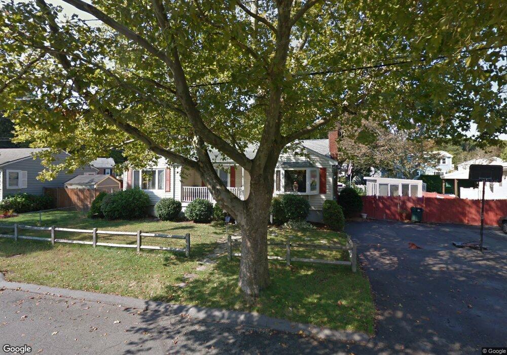
77 Harmon St Lynn, MA 01905
Upper Walnut Street NeighborhoodEstimated Value: $570,000 - $637,000
About This Home
This home is located at 77 Harmon St, Lynn, MA 01905 and is currently estimated at $605,837, approximately $453 per square foot. 77 Harmon St is a home located in Essex County with nearby schools including Julia F. Callahan Elementary School, William R. Fallon School, and Breed Middle School.
Ownership History
We collect this data history from publicly available records. To have your information removed, we recommend requesting removal directly through your county’s website.
Purchase Details
Home Values in the Area
Average Home Value in this Area
Purchase History
We collect this data history from publicly available records. To have your information removed, we recommend requesting removal directly through your county’s website.
| Date | Buyer | Sale Price | Title Company |
|---|---|---|---|
| $239,900 | -- |
Mortgage History
We collect this data history from publicly available records. To have your information removed, we recommend requesting removal directly through your county’s website.
| Date | Status | Borrower | Loan Amount |
|---|---|---|---|
| Open | $199,800 | ||
| Closed | $33,000 | ||
| Closed | $242,000 | ||
| Previous Owner | $25,000 | ||
| Previous Owner | $11,000 | ||
| Previous Owner | $82,000 | ||
| Previous Owner | $70,000 |
Tax History
We collect this data history from publicly available records. To have your information removed, we recommend requesting removal directly through your county’s website.
| Year | Tax Paid | Tax Assessment Tax Assessment Total Assessment is a certain percentage of the fair market value that is determined by local assessors to be the total taxable value of land and additions on the property. | Land | Improvement |
|---|---|---|---|---|
| 2025 | $5,800 | $559,800 | $213,400 | $346,400 |
| 2024 | $5,548 | $526,900 | $212,000 | $314,900 |
| 2023 | $5,307 | $476,000 | $195,700 | $280,300 |
| 2022 | $5,157 | $414,900 | $176,100 | $238,800 |
| 2021 | $4,987 | $382,700 | $164,000 | $218,700 |
| 2020 | $4,900 | $365,700 | $145,900 | $219,800 |
| 2019 | $5,059 | $353,800 | $150,000 | $203,800 |
| 2018 | $4,848 | $320,000 | $140,300 | $179,700 |
| 2017 | $4,546 | $291,400 | $121,600 | $169,800 |
| 2016 | $4,382 | $270,800 | $115,100 | $155,700 |
| 2015 | $4,229 | $252,500 | $113,700 | $138,800 |
Map
- 44 Harmon St
- 22 Ocallaghan Way
- 11 Pennybrook Rd
- 104 Fairmount Ave
- 32 Birch Brook Rd Unit 27
- 32 Birch Brook Rd Unit 28
- 1 Birch Brook Landing Unit 1
- 32 Birch Brook Landing Unit 9
- 32 Birch Brook Landing Unit 10
- 32 Birch Brook Landing Unit 11
- 32 Birch Brook Landing Unit 4
- 32 Birch Brook Landing Unit 5
- 23 Shady Ln
- 32 Spruce St Unit 32
- 15 Jefferson Ave
- 20 Burrill St
- 9 Cleveland Ave
- 1 Twin Springs Dr
- 9-11 Dungeon Ave
- 4 Oneil Way
- 90 Harmon St
- 84 Harmon St
- 77 Nicholson St
- 71 Nicholson St
- 80 Harmon St
- 11 Hamley St
- 99 Stering St
- 109 Sterling St
- 103 Sterling St
- 65 Nicholson St
- 99 Sterling St
- 83 Harmon St
- 76 Nicholson St
- 93 Sterling St
- 59 Nicholson St
- 72 Nicholson St
- 87 Sterling St
- 35 Osborne St
- 35 Osborne St Unit 1
- 35 Osborne St Unit 2
Ask me questions while you tour the home.