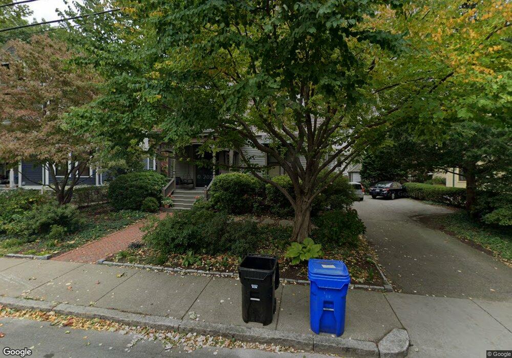
77 Toxteth St Brookline, MA 02446
Coolidge Corner NeighborhoodEstimated Value: $1,995,000 - $2,681,000
3
Beds
3
Baths
2,926
Sq Ft
$825/Sq Ft
Est. Value
About This Home
This home is located at 77 Toxteth St, Brookline, MA 02446 and is currently estimated at $2,413,591, approximately $824 per square foot. 77 Toxteth St is a home located in Norfolk County with nearby schools including Amos A. Lawrence School, Brookline High School, and St. Mary of the Assumption Elementary School.
Ownership History
Date
Name
Owned For
Owner Type
Purchase Details
Closed on
Oct 7, 2025
Sold by
Yulsee Rt and Raemer
Bought by
Wallis W Raemer T W and Wallis Raemer
Current Estimated Value
Purchase Details
Closed on
Dec 21, 2007
Sold by
Raemer Daniel and Raemer Mwallis W
Bought by
Yulsee Rt and Raemer
Purchase Details
Closed on
Aug 1, 1989
Sold by
Mccxabe Catherine F
Bought by
Raemer Daniel
Home Financials for this Owner
Home Financials are based on the most recent Mortgage that was taken out on this home.
Original Mortgage
$50,000
Interest Rate
10%
Create a Home Valuation Report for This Property
The Home Valuation Report is an in-depth analysis detailing your home's value as well as a comparison with similar homes in the area
Home Values in the Area
Average Home Value in this Area
Purchase History
We collect this data history from publicly available records. To have your information removed, we recommend requesting removal directly through your county’s website.
| Date | Buyer | Sale Price | Title Company |
|---|---|---|---|
| Wallis W Raemer T W | -- | -- | |
| Yulsee Rt | -- | -- | |
| Yulsee Rt | -- | -- | |
| Raemer Daniel | $360,000 | -- | |
| Raemer Daniel | $360,000 | -- |
Source: Public Records
Mortgage History
We collect this data history from publicly available records. To have your information removed, we recommend requesting removal directly through your county’s website.
| Date | Status | Borrower | Loan Amount |
|---|---|---|---|
| Previous Owner | Raemer Daniel | $188,000 | |
| Previous Owner | Raemer Daniel | $189,000 | |
| Previous Owner | Raemer Daniel | $50,000 |
Source: Public Records
Tax History
| Year | Tax Paid | Tax Assessment Tax Assessment Total Assessment is a certain percentage of the fair market value that is determined by local assessors to be the total taxable value of land and additions on the property. | Land | Improvement |
|---|---|---|---|---|
| 2025 | $19,894 | $2,015,600 | $1,297,200 | $718,400 |
| 2024 | $18,920 | $1,936,500 | $1,247,300 | $689,200 |
| 2023 | $17,517 | $1,757,000 | $1,032,000 | $725,000 |
| 2022 | $17,052 | $1,673,400 | $982,900 | $690,500 |
| 2021 | $15,768 | $1,609,000 | $945,100 | $663,900 |
| 2020 | $14,296 | $1,512,800 | $859,100 | $653,700 |
| 2019 | $13,500 | $1,440,800 | $818,200 | $622,600 |
| 2018 | $12,116 | $1,280,800 | $669,500 | $611,300 |
| 2017 | $11,938 | $1,208,300 | $631,600 | $576,700 |
| 2016 | $11,767 | $1,129,300 | $590,300 | $539,000 |
| 2015 | $10,736 | $1,005,200 | $501,500 | $503,700 |
| 2014 | $10,629 | $933,200 | $455,900 | $477,300 |
Source: Public Records
Map
Nearby Homes
- 99 Perry St Unit 6
- 59 Saint Paul St Unit 26
- 21 Kent Square Unit 2
- 21 Kent Square Unit 1
- 65 Francis St Unit A
- 148 Kent St Unit 148
- 205 Kent St Unit 48
- 36a St Paul St Unit 1
- 19 Alton Ct Unit 2
- 23 Netherlands Rd Unit 1
- 269 Kent St
- 19 Linden St
- 14 Linden St Unit 7
- 63 Longwood Ave Unit 2
- 14 Marshal St Unit 1
- 58 Kent St Unit 302
- 58 Kent St Unit 403
- 58 Kent St Unit 304
- 58 Kent St Unit 404
- 45 Longwood Ave Unit 707
- 71 Toxteth St
- 67 Toxteth St
- 65 Toxteth St
- 30 Harrison St Unit 32
- 30 Harrison St Unit 2
- 26 Harrison St Unit 28
- 26 Harrison St Unit 26
- 26 Harrison St Unit 1
- 81 Toxteth St
- 81 Toxteth St
- 81 Toxteth St Unit 1
- 61 Toxteth St Unit 1
- 36 Harrison St
- 38 Harrison St
- 62 Toxteth St
- 64 Toxteth St
- 40 Harrison St
- 66 Toxteth St
- 20 Harrison St
- 72 Toxteth St
Your Personal Tour Guide
Ask me questions while you tour the home.