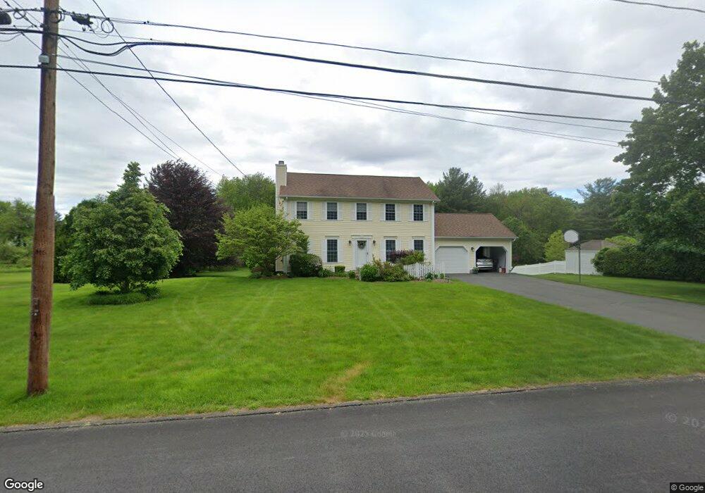
77 Whitaker Rd Westfield, MA 01085
Estimated Value: $420,000 - $548,000
3
Beds
3
Baths
1,764
Sq Ft
$283/Sq Ft
Est. Value
About This Home
This home is located at 77 Whitaker Rd, Westfield, MA 01085 and is currently estimated at $498,670, approximately $282 per square foot. 77 Whitaker Rd is a home located in Hampden County with nearby schools including Westfield High School and Saint Mary High School.
Ownership History
Date
Name
Owned For
Owner Type
Purchase Details
Closed on
Mar 31, 2005
Sold by
Regensburger Brian P and Regensburger Lisa A
Bought by
Dasso Janice B and Dasso Kenneth S
Current Estimated Value
Home Financials for this Owner
Home Financials are based on the most recent Mortgage that was taken out on this home.
Original Mortgage
$236,000
Outstanding Balance
$120,439
Interest Rate
5.61%
Mortgage Type
Purchase Money Mortgage
Estimated Equity
$378,231
Purchase Details
Closed on
Apr 25, 1997
Sold by
Francis Wheeler Constr
Bought by
Regensburger Brian P and Regensburger Lisa A
Home Financials for this Owner
Home Financials are based on the most recent Mortgage that was taken out on this home.
Original Mortgage
$115,000
Interest Rate
7.77%
Mortgage Type
Purchase Money Mortgage
Create a Home Valuation Report for This Property
The Home Valuation Report is an in-depth analysis detailing your home's value as well as a comparison with similar homes in the area
Home Values in the Area
Average Home Value in this Area
Purchase History
| Date | Buyer | Sale Price | Title Company |
|---|---|---|---|
| Dasso Janice B | $295,000 | -- | |
| Regensburger Brian P | $164,900 | -- |
Source: Public Records
Mortgage History
| Date | Status | Borrower | Loan Amount |
|---|---|---|---|
| Open | Dasso Janice B | $236,000 | |
| Previous Owner | Regensburger Brian P | $114,000 | |
| Previous Owner | Regensburger Brian P | $115,000 |
Source: Public Records
Tax History
| Year | Tax Paid | Tax Assessment Tax Assessment Total Assessment is a certain percentage of the fair market value that is determined by local assessors to be the total taxable value of land and additions on the property. | Land | Improvement |
|---|---|---|---|---|
| 2025 | $6,115 | $402,800 | $138,300 | $264,500 |
| 2024 | $6,123 | $383,400 | $126,000 | $257,400 |
| 2023 | $5,763 | $351,900 | $119,400 | $232,500 |
| 2022 | $5,763 | $311,700 | $106,300 | $205,400 |
| 2021 | $5,592 | $296,200 | $100,500 | $195,700 |
| 2020 | $5,507 | $286,100 | $100,500 | $185,600 |
| 2019 | $5,378 | $273,400 | $95,200 | $178,200 |
| 2018 | $5,293 | $273,400 | $95,200 | $178,200 |
| 2017 | $5,189 | $267,200 | $96,400 | $170,800 |
| 2016 | $5,194 | $267,200 | $96,400 | $170,800 |
| 2015 | $4,911 | $264,900 | $96,400 | $168,500 |
| 2014 | $3,675 | $264,900 | $96,400 | $168,500 |
Source: Public Records
Map
Nearby Homes
- 0 Fox Hill Dr
- 44 Kensington Ave
- 324 Russell Rd Unit 204
- 324 Russell Rd Unit 109
- 324 Russell Rd Unit 101
- 42 Putnam Dr
- 74 S Maple St
- 419 Southwick Rd Unit P66
- 70 S Maple St
- 44 Llewellyn Dr
- 145 Honey Pot Rd
- 240 Hillside Rd
- 16 Squawfield Rd
- 25 Tannery Rd Unit 6A
- 2 Sugar Maple Ln
- 1368 Granville Rd
- 44 Tannery Rd
- 42R Jefferson St
- 112 Sunnyside Rd
- 40 Hawks Cir
- 71 Whitaker Rd
- 83 Whitaker Rd
- Lot 3 Whitaker Rd
- 70 Whitaker Rd
- 88 Whitaker Rd
- 84 Whitaker Rd
- 65 Whitaker Rd
- 97 Whitaker Rd
- 64 Whitaker Rd
- 69 City View Blvd
- 36 Fox Hill Dr
- 61 Yankee Cir
- 75 City View Blvd
- 100 Whitaker Rd
- 101 Whitaker Rd
- 57 Yankee Cir
- 66 Whitaker Rd
- 89 City View Blvd
- 32 Fox Hill Dr
- 105 Whitaker Rd
Your Personal Tour Guide
Ask me questions while you tour the home.