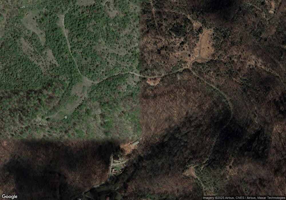
770 Stinking Branch Thornton, KY 41855
Estimated Value: $83,000 - $179,492
3
Beds
2
Baths
1,976
Sq Ft
$58/Sq Ft
Est. Value
About This Home
This home is located at 770 Stinking Branch, Thornton, KY 41855 and is currently estimated at $115,497, approximately $58 per square foot. 770 Stinking Branch is a home located in Letcher County with nearby schools including Letcher County Central High School.
Ownership History
Date
Name
Owned For
Owner Type
Purchase Details
Closed on
Jun 2, 2009
Sold by
American General Home Equity Inc
Bought by
Hampton David W and Hampton Joy
Current Estimated Value
Home Financials for this Owner
Home Financials are based on the most recent Mortgage that was taken out on this home.
Original Mortgage
$40,000
Outstanding Balance
$25,273
Interest Rate
4.77%
Estimated Equity
$90,224
Purchase Details
Closed on
Dec 9, 2008
Sold by
Robinson Leah
Bought by
Robinson Patricia
Purchase Details
Closed on
Dec 4, 2008
Sold by
Bolling Amanda Robinson and Bolling Shaun
Bought by
Rrobinson Patricia
Purchase Details
Closed on
Dec 1, 2008
Sold by
Robinson Jacob
Bought by
Robinson Patricia
Create a Home Valuation Report for This Property
The Home Valuation Report is an in-depth analysis detailing your home's value as well as a comparison with similar homes in the area
Home Values in the Area
Average Home Value in this Area
Purchase History
| Date | Buyer | Sale Price | Title Company |
|---|---|---|---|
| Hampton David W | $40,000 | -- | |
| Robinson Patricia | -- | -- | |
| Rrobinson Patricia | -- | -- | |
| Robinson Patricia | -- | -- |
Source: Public Records
Mortgage History
| Date | Status | Borrower | Loan Amount |
|---|---|---|---|
| Open | Hampton David W | $40,000 |
Source: Public Records
Tax History Compared to Growth
Tax History
| Year | Tax Paid | Tax Assessment Tax Assessment Total Assessment is a certain percentage of the fair market value that is determined by local assessors to be the total taxable value of land and additions on the property. | Land | Improvement |
|---|---|---|---|---|
| 2024 | $579 | $40,000 | $0 | $0 |
| 2023 | $582 | $40,000 | $0 | $0 |
| 2022 | $584 | $40,000 | $0 | $0 |
| 2021 | $576 | $40,000 | $0 | $0 |
| 2020 | $569 | $85,000 | $0 | $0 |
| 2019 | $540 | $40,000 | $0 | $0 |
| 2018 | $518 | $40,000 | $0 | $0 |
| 2017 | $470 | $55,000 | $7,000 | $48,000 |
| 2015 | -- | $7,000 | $7,000 | $0 |
| 2013 | -- | $85,000 | $7,000 | $78,000 |
Source: Public Records
Map
Nearby Homes
- 49 Winter Dr
- 4242 Thornton Rd
- 94 & 96 Mud Ln
- o Atlantic Dr
- 303 Harrison's Branch Rd
- 13300 Kentucky 7
- 94 Long View Dr
- 164 Gibson Rd
- 44 Melon Dr
- 44 Pirate Dr
- 119 Kentucky Ave
- 0 Kentucky 15
- 77 5th St
- 132 Timber Loop
- 1457 State Highway 343
- 221 Pert Creek Rd
- 2545 Wolfpen Creek Rd
- 13491 S Ky Rt 7
- 2102 Sheas Fork Rd
- 1085 Spring Branch Rd
- 537 Stinking Branch
- 635 Stinking Branch
- 664 Stinking Branch
- 708 Stinking Branch
- 588 Stinking Branch
- 601 Stinking Branch
- 180 Winter Dr
- 466 Stinking Branch
- 38 Fall Dr
- 349 Stinking Branch
- 5153 Thornton Rd
- 318 Stinking Branch
- 5568 Thornton Rd
- 5098 Thornton Rd
- 5816 Thornton Rd
- 95 Nashville Dr
- 232 Stinking Branch
- 5982 Thornton Rd
- 51 Kentland Dr
- 552 Stinking Branch
