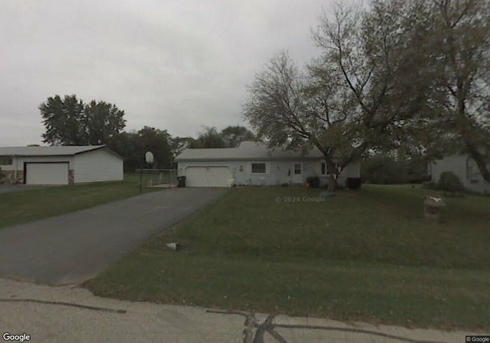
7709 Utility St Spring Grove, IL 60081
Estimated Value: $309,912 - $366,000
About This Home
This home is located at 7709 Utility St, Spring Grove, IL 60081 and is currently estimated at $338,228, approximately $154 per square foot. 7709 Utility St is a home located in McHenry County with nearby schools including Spring Grove Elementary School, Nippersink Middle School, and Richmond-Burton High School.
Ownership History
We collect this data history from publicly available records. To have your information removed, we recommend requesting removal directly through your county’s website.
Purchase Details
Purchase Details
Home Financials for this Owner
Home Financials are based on the most recent Mortgage that was taken out on this home.Home Values in the Area
Average Home Value in this Area
Purchase History
We collect this data history from publicly available records. To have your information removed, we recommend requesting removal directly through your county’s website.
| Date | Buyer | Sale Price | Title Company |
|---|---|---|---|
| -- | None Available | ||
| $127,000 | Chicago Title Insurance Co |
Mortgage History
We collect this data history from publicly available records. To have your information removed, we recommend requesting removal directly through your county’s website.
| Date | Status | Borrower | Loan Amount |
|---|---|---|---|
| Previous Owner | $122,000 |
Tax History
We collect this data history from publicly available records. To have your information removed, we recommend requesting removal directly through your county’s website.
| Year | Tax Paid | Tax Assessment Tax Assessment Total Assessment is a certain percentage of the fair market value that is determined by local assessors to be the total taxable value of land and additions on the property. | Land | Improvement |
|---|---|---|---|---|
| 2024 | $5,249 | $76,628 | $15,071 | $61,557 |
| 2023 | $5,075 | $70,050 | $13,777 | $56,273 |
| 2022 | $4,943 | $63,074 | $12,405 | $50,669 |
| 2021 | $4,777 | $60,537 | $11,906 | $48,631 |
| 2020 | $4,692 | $58,248 | $11,456 | $46,792 |
| 2019 | $4,630 | $56,376 | $11,088 | $45,288 |
| 2018 | $4,660 | $54,047 | $10,630 | $43,417 |
| 2017 | $4,647 | $51,469 | $10,123 | $41,346 |
| 2016 | $4,557 | $48,255 | $9,491 | $38,764 |
| 2013 | -- | $45,626 | $8,974 | $36,652 |
Map
- 2214 Main Street Rd
- 1992 Red Oak Ln
- 2003 Red Oak Ln
- LOT 9 Mayo Ct
- 1876 Red Oak Ln
- Lot 36 Red Oak Ln
- 7393 English Oak Ln
- 7377 English Oak Ln
- 7389 English Oak Ln
- 7381 English Oak Ln
- 7373 English Oak Ln
- 7416 Briar Ct
- 1979 Red Oak Ln
- 7388 English Oak Ln
- 2617 Spring Leaf Dr
- 7404 Briar Ct
- 8219 Squirrel Dr
- 1109 Main Street Rd
- Lot 65,66,&64 Main Street Rd
- 1107 Main Street Rd
- 7711 Utility St
- 7718 Finch St
- 7710 Finch St
- 7703 Utility St
- 7712 Utility Ct
- 7712 Utility St
- 7710 Utility St
- 2300 Westward Dr
- 7717 Broadview Ct
- 7708 Utility Ct
- 7702 Utility St
- 7715 Broadview Ct
- 7713 Broadview Ct
- 2400 Highview St Unit 3
- 2400 Highview St Unit 1
- 2400 Highview St
- 7727 Finch St
- 2318 Westward Dr
- 2306 Hatchery Rd
- 7711 Broadview Ct
Ask me questions while you tour the home.