771 Hamilton Rd Concord, GA 30206
Estimated Value: $347,036 - $379,000
4
Beds
3
Baths
1,710
Sq Ft
$214/Sq Ft
Est. Value
About This Home
This home is located at 771 Hamilton Rd, Concord, GA 30206 and is currently estimated at $365,509, approximately $213 per square foot. 771 Hamilton Rd is a home located in Pike County with nearby schools including Pike County Primary School, Pike County Elementary School, and Pike County Middle School.
Ownership History
Date
Name
Owned For
Owner Type
Purchase Details
Closed on
Aug 7, 2020
Sold by
Wofford Homes Llc
Bought by
Matlock James N and Matlock Courtney
Current Estimated Value
Home Financials for this Owner
Home Financials are based on the most recent Mortgage that was taken out on this home.
Original Mortgage
$252,200
Outstanding Balance
$222,203
Interest Rate
3%
Mortgage Type
New Conventional
Estimated Equity
$143,306
Purchase Details
Closed on
Mar 10, 2020
Sold by
Kimbell Charles Michael
Bought by
Wofford Homes Llc
Purchase Details
Closed on
May 7, 2002
Sold by
Kimbell Charles and Kimbell Laura
Bought by
Kimbell Charles Michael
Purchase Details
Closed on
Mar 3, 1998
Sold by
Colwell-Turner Land Dev
Bought by
Kimbell Charles and Kimbell Laura
Create a Home Valuation Report for This Property
The Home Valuation Report is an in-depth analysis detailing your home's value as well as a comparison with similar homes in the area
Purchase History
| Date | Buyer | Sale Price | Title Company |
|---|---|---|---|
| Matlock James N | $260,000 | -- | |
| Wofford Homes Llc | $140,000 | -- | |
| Kimbell Charles Michael | -- | -- | |
| Kimbell Charles | $12,000 | -- |
Source: Public Records
Mortgage History
| Date | Status | Borrower | Loan Amount |
|---|---|---|---|
| Open | Matlock James N | $252,200 |
Source: Public Records
Tax History
| Year | Tax Paid | Tax Assessment Tax Assessment Total Assessment is a certain percentage of the fair market value that is determined by local assessors to be the total taxable value of land and additions on the property. | Land | Improvement |
|---|---|---|---|---|
| 2025 | $2,879 | $120,108 | $18,410 | $101,698 |
| 2024 | $2,683 | $108,253 | $15,102 | $93,151 |
| 2023 | $3,141 | $108,253 | $15,102 | $93,151 |
| 2022 | $2,365 | $81,517 | $15,102 | $66,415 |
| 2021 | $2,232 | $74,315 | $7,900 | $66,415 |
| 2020 | $2,193 | $74,116 | $7,900 | $66,216 |
| 2019 | $2,020 | $60,410 | $7,900 | $52,510 |
| 2018 | $2,022 | $60,410 | $7,900 | $52,510 |
| 2017 | $2,005 | $60,410 | $7,900 | $52,510 |
| 2016 | $1,861 | $60,410 | $7,900 | $52,510 |
| 2015 | $1,771 | $60,410 | $7,900 | $52,510 |
| 2014 | $1,797 | $60,410 | $7,900 | $52,510 |
| 2013 | -- | $60,409 | $7,899 | $52,510 |
Source: Public Records
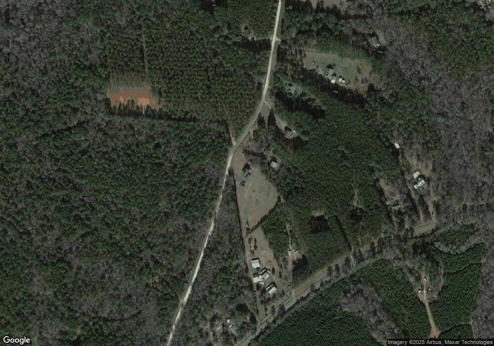
Map
Nearby Homes
- 667 Hamilton Rd
- 0 Pedenville Rd Unit 10710730
- 0 W Fossett Rd Unit 10629253
- TRACT 1 Bates Rd (14 05acs)
- TRACT 2 Bates Rd (56 99acs)
- 0 Bagwell Rd Unit 10511111
- 0 Bagwell Rd Unit 10666015
- 0 Bagwell Rd Unit 226706
- 360 Indian Trail
- 0 Indian Trail Unit 10530670
- 7581 Old Zebulon Rd
- 0 Collier Rd Unit 25031854
- 0 Collier Rd Unit 26827426
- 89 Bobbie Ct
- 764 Bates Rd (228 96acs)
- TRACT 6 & 7 Bates Rd (47 4acs)
- 243 Flint Farms Dr
- 126 Flint Farms Dr
- LOT 20 Flint Farms Dr
- LOT 12 Flint Farms Dr
- 707 Hamilton Rd Unit 15
- 707 Hamilton Rd
- 6049 Georgia 18
- 651 Hamilton Rd
- 6049 Highway 18 W
- 5955 Highway 18 W
- 5961 Highway 18 W
- 6061 Highway 18 W
- 611 Hamilton Rd
- 590 Hamilton Rd
- 5905 Highway 18 W
- 6131 Highway 18 W
- 5849 Highway 18 W
- 6161 Highway 18 W
- 534 Hamilton Rd
- 589 Hamilton Rd
- 5821 Highway 18 W
- 520 Hamilton Rd
- 738 Hamilton Rd
- 497 Hamilton Rd
Your Personal Tour Guide
Ask me questions while you tour the home.