771 Michael St Thomaston, GA 30286
Estimated Value: $149,000 - $175,000
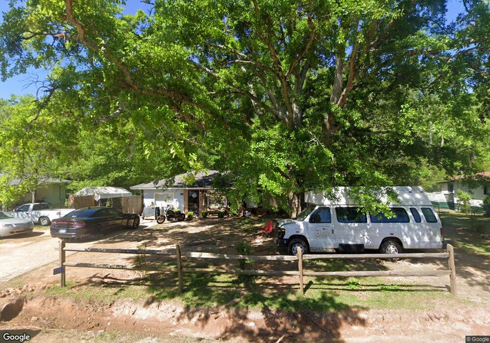
About This Home
This home is located at 771 Michael St, Thomaston, GA 30286 and is currently estimated at $167,469, approximately $134 per square foot. 771 Michael St is a home located in Upson County with nearby schools including Upson-Lee South Elementary School, Upson-Lee North Elementary School, and Upson-Lee Middle School.
Ownership History
We collect this data history from publicly available records. To have your information removed, we recommend requesting removal directly through your county’s website.
Purchase Details
Home Financials for this Owner
Home Financials are based on the most recent Mortgage that was taken out on this home.Purchase Details
Purchase History
We collect this data history from publicly available records. To have your information removed, we recommend requesting removal directly through your county’s website.
| Date | Buyer | Sale Price | Title Company |
|---|---|---|---|
| $37,800 | -- | ||
| $56,700 | -- |
Mortgage History
We collect this data history from publicly available records. To have your information removed, we recommend requesting removal directly through your county’s website.
| Date | Status | Borrower | Loan Amount |
|---|---|---|---|
| Closed | $33,274 |
Tax History
We collect this data history from publicly available records. To have your information removed, we recommend requesting removal directly through your county’s website.
| Year | Tax Paid | Tax Assessment Tax Assessment Total Assessment is a certain percentage of the fair market value that is determined by local assessors to be the total taxable value of land and additions on the property. | Land | Improvement |
|---|---|---|---|---|
| 2025 | $1,277 | $49,623 | $7,200 | $42,423 |
| 2024 | $1,277 | $41,274 | $4,000 | $37,274 |
| 2023 | $1,084 | $39,756 | $4,000 | $35,756 |
| 2022 | $844 | $30,442 | $4,000 | $26,442 |
| 2021 | $682 | $25,874 | $4,000 | $21,874 |
| 2020 | $694 | $24,605 | $4,000 | $20,605 |
| 2019 | $696 | $22,702 | $4,000 | $18,702 |
| 2018 | $672 | $21,902 | $3,200 | $18,702 |
| 2017 | $656 | $19,519 | $2,000 | $17,519 |
| 2016 | $646 | $18,909 | $2,000 | $16,909 |
| 2015 | $647 | $18,909 | $2,000 | $16,909 |
| 2014 | $647 | $18,909 | $2,000 | $16,909 |
Map
- 754 Michael St
- 657 Tom McKinley Rd
- 997 Cardinal St
- 517 Trice Cemetary Rd
- 1138 Vestavia Ln
- 0 Barnesville Hwy Unit 10739535
- 0 Barnesville Hwy Unit 10720084
- 0 Barnesville Hwy Unit 10683800
- 0 Barnesville Hwy Unit 10783696
- 0 Barnesville Hwy Unit 7799560
- 1418 Yatesville Hwy
- 541 Mulberry St
- 2537 Barnesville Hwy
- 502 Fescue St
- 3 Morningside Ct
- 7 Morningside Ct
- 5 Morningside Ct
- 2 Morningside Ct
- 4 Morningside Ct
- 13 Avenue D
- 773 Michael St
- 772 Michael St
- 769 Michael St
- 775 Michael St
- 774 Michael St
- 767 Michael St
- 768 Michael St
- 776 Michael St
- 0 Michael St Unit 20174229
- 777 Michael St
- 735 Steven St
- 766 Michael St
- 765 Michael St
- 733 Steven St
- 739 Steven St
- 779 Michael St
- 731 Steven St
- 778 Michael St
- 764 Michael St
- 763 Michael St
Ask me questions while you tour the home.