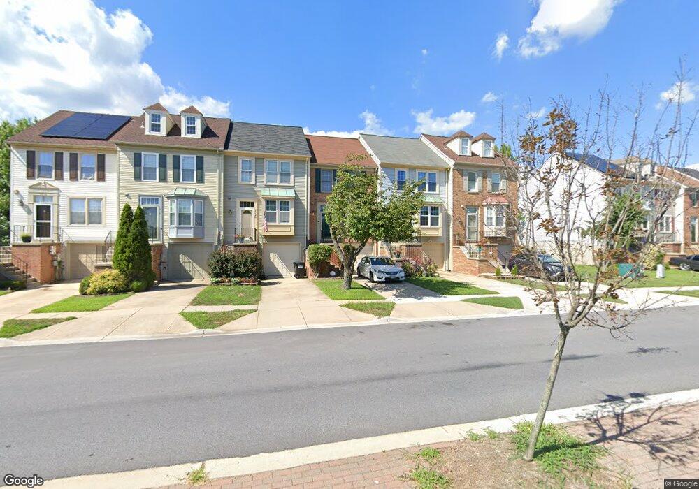
7722 Cypress St Laurel, MD 20707
Estimated Value: $360,000 - $415,000
About This Home
This home is located at 7722 Cypress St, Laurel, MD 20707 and is currently estimated at $382,394, approximately $312 per square foot. 7722 Cypress St is a home located in Prince George's County with nearby schools including Vansville Elementary School, Martin Luther King Jr. Middle School, and Laurel High School.
Ownership History
We collect this data history from publicly available records. To have your information removed, we recommend requesting removal directly through your county’s website.
Purchase Details
Purchase Details
Home Financials for this Owner
Home Financials are based on the most recent Mortgage that was taken out on this home.Purchase Details
Home Values in the Area
Average Home Value in this Area
Purchase History
We collect this data history from publicly available records. To have your information removed, we recommend requesting removal directly through your county’s website.
| Date | Buyer | Sale Price | Title Company |
|---|---|---|---|
| -- | -- | ||
| $127,000 | -- | ||
| $102,700 | -- |
Mortgage History
We collect this data history from publicly available records. To have your information removed, we recommend requesting removal directly through your county’s website.
| Date | Status | Borrower | Loan Amount |
|---|---|---|---|
| Previous Owner | $126,550 |
Tax History
We collect this data history from publicly available records. To have your information removed, we recommend requesting removal directly through your county’s website.
| Year | Tax Paid | Tax Assessment Tax Assessment Total Assessment is a certain percentage of the fair market value that is determined by local assessors to be the total taxable value of land and additions on the property. | Land | Improvement |
|---|---|---|---|---|
| 2025 | $5,026 | $340,000 | $90,000 | $250,000 |
| 2024 | $5,026 | $318,767 | -- | -- |
| 2023 | $4,741 | $297,533 | $0 | $0 |
| 2022 | $4,415 | $276,300 | $75,000 | $201,300 |
| 2021 | $4,204 | $265,000 | $0 | $0 |
| 2020 | $3,737 | $253,700 | $0 | $0 |
| 2019 | $5,398 | $242,400 | $100,000 | $142,400 |
| 2018 | $3,806 | $232,733 | $0 | $0 |
| 2017 | $3,692 | $223,067 | $0 | $0 |
| 2016 | -- | $213,400 | $0 | $0 |
| 2015 | $3,116 | $207,933 | $0 | $0 |
| 2014 | $3,116 | $202,467 | $0 | $0 |
Map
- 14010 Oxford Dr
- 14042 Vista Dr Unit 109A
- 14019B Justin Way
- 14203 Oakpointe Dr
- 7902 Bayshore Dr Unit 32
- 14007 Briston St
- 7906 Bayshore Dr
- 14220 Jib St
- 14222 Oxford Dr
- 14113 William St Unit 17-C
- 14119 Bowsprit Ln Unit 312
- 14111F William St
- 14226 Yardarm Way Unit 109
- 14235 Jib St Unit 22
- 14235 Jib St Unit 12
- 14308 Bowsprit Ln Unit 11
- 7907 Crows Nest Ct Unit 11
- 14320 S Shore Ct
- 14107 Corunna Ct
- 14314 S Shore Ct
- 7720 Cypress St
- 7724 Cypress St
- 7718 Cypress St
- 7726 Cypress St
- 7716 Cypress St
- 7728 Cypress St
- 14009 Chestnut Ct
- 14011 Chestnut Ct
- 14007 Chestnut Ct
- 14013 Chestnut Ct
- 14005 Chestnut Ct
- 7714 Cypress St
- 7730 Cypress St
- 14015 Chestnut Ct
- 14003 Chestnut Ct
- 14001 Chestnut Ct
- 7732 Cypress St
- 7712 Cypress St
- 7734 Cypress St
- 7710 Cypress St
Ask me questions while you tour the home.