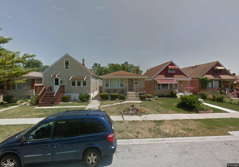
7731 Linder Ave Burbank, IL 60459
Estimated Value: $279,000 - $377,000
About This Home
This home is located at 7731 Linder Ave, Burbank, IL 60459 and is currently estimated at $323,304, approximately $290 per square foot. 7731 Linder Ave is a home located in Cook County with nearby schools including J.B. Kennedy Elementary School, Reavis High School, and St Albert the Great Catholic School.
Ownership History
We collect this data history from publicly available records. To have your information removed, we recommend requesting removal directly through your county’s website.
Purchase Details
Home Financials for this Owner
Home Financials are based on the most recent Mortgage that was taken out on this home.Home Values in the Area
Average Home Value in this Area
Purchase History
We collect this data history from publicly available records. To have your information removed, we recommend requesting removal directly through your county’s website.
| Date | Buyer | Sale Price | Title Company |
|---|---|---|---|
| $600,000 | Attorneys Natl Title Network |
Mortgage History
We collect this data history from publicly available records. To have your information removed, we recommend requesting removal directly through your county’s website.
| Date | Status | Borrower | Loan Amount |
|---|---|---|---|
| Open | $80,000 |
Tax History
We collect this data history from publicly available records. To have your information removed, we recommend requesting removal directly through your county’s website.
| Year | Tax Paid | Tax Assessment Tax Assessment Total Assessment is a certain percentage of the fair market value that is determined by local assessors to be the total taxable value of land and additions on the property. | Land | Improvement |
|---|---|---|---|---|
| 2025 | $2,368 | $26,001 | $3,506 | $22,495 |
| 2024 | $2,368 | $26,001 | $3,506 | $22,495 |
| 2023 | $3,036 | $26,001 | $3,506 | $22,495 |
| 2022 | $3,036 | $17,479 | $3,044 | $14,435 |
| 2021 | $2,829 | $17,479 | $3,044 | $14,435 |
| 2020 | $2,542 | $17,479 | $3,044 | $14,435 |
| 2019 | $2,829 | $16,457 | $2,767 | $13,690 |
| 2018 | $2,753 | $16,457 | $2,767 | $13,690 |
| 2017 | $2,615 | $16,457 | $2,767 | $13,690 |
| 2016 | $4,536 | $15,372 | $2,306 | $13,066 |
| 2015 | $4,325 | $15,372 | $2,306 | $13,066 |
| 2014 | $4,213 | $15,372 | $2,306 | $13,066 |
| 2013 | $4,848 | $18,757 | $2,306 | $16,451 |
Map
- 7828 Lotus Ave
- 7807 Parkside Ave
- 7920 S Lorel Ave
- 7751 Massasoit Ave
- 7609 Lockwood Ave
- 7835 Massasoit Ave
- 7514 Lockwood Ave
- 8001 Lockwood Ave
- 7601 Laramie Ave
- 8003 Menard Ave
- 8040 Laramie Ave
- 5140 W 80th Place
- 5846 W 77th St Unit 303
- 8110 Lockwood Ave
- 5046 W 79th St
- 7700 Lawler Ave
- 7847 Mason Ave
- 7714 Lavergne Ave
- 4900 S Lockwood Ave
- 5620 W 83rd St
- 7761 Linder Ave
- 7763 Linder Ave
- 7729 Linder Ave
- 7745 Linder Ave
- 7725 Linder Ave
- 7747 Linder Ave
- 7723 Linder Ave
- 7734 Lotus Ave
- 7730 Lotus Ave
- 7760 Lotus Ave
- 7721 Linder Ave
- 7751 Linder Ave
- 7762 Lotus Ave
- 7744 Lotus Ave
- 7764 Lotus Ave
- 7719 Linder Ave
- 7740 Lotus Ave
- 7734 Linder Ave
- 7738 Linder Ave
- 7754 Linder Ave
Ask me questions while you tour the home.