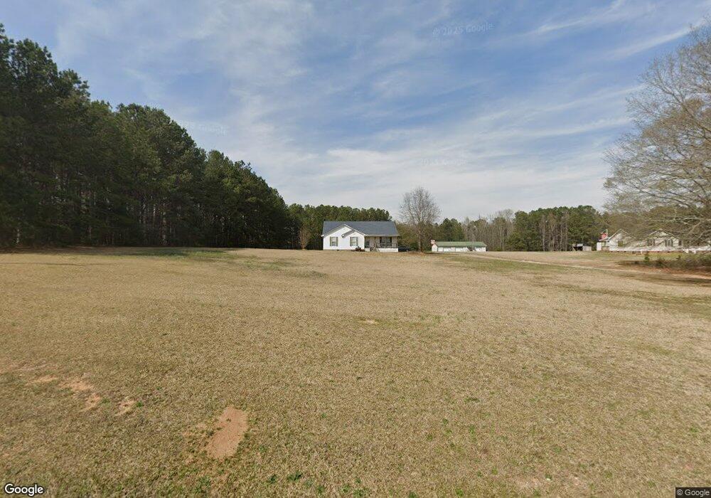
774 Simpson Rd Honea Path, SC 29654
Belton AreaEstimated Value: $269,000 - $364,000
About This Home
This home is located at 774 Simpson Rd, Honea Path, SC 29654 and is currently estimated at $296,685, approximately $153 per square foot. 774 Simpson Rd is a home located in Anderson County with nearby schools including Honea Path Elementary School, Honea Path Middle School, and Belton Honea Path High School.
Ownership History
We collect this data history from publicly available records. To have your information removed, we recommend requesting removal directly through your county’s website.
Purchase Details
Home Financials for this Owner
Home Financials are based on the most recent Mortgage that was taken out on this home.Purchase Details
Home Values in the Area
Average Home Value in this Area
Purchase History
We collect this data history from publicly available records. To have your information removed, we recommend requesting removal directly through your county’s website.
| Date | Buyer | Sale Price | Title Company |
|---|---|---|---|
| $118,500 | -- | ||
| $142,500 | -- |
Mortgage History
We collect this data history from publicly available records. To have your information removed, we recommend requesting removal directly through your county’s website.
| Date | Status | Borrower | Loan Amount |
|---|---|---|---|
| Open | $108,500 |
Tax History
We collect this data history from publicly available records. To have your information removed, we recommend requesting removal directly through your county’s website.
| Year | Tax Paid | Tax Assessment Tax Assessment Total Assessment is a certain percentage of the fair market value that is determined by local assessors to be the total taxable value of land and additions on the property. | Land | Improvement |
|---|---|---|---|---|
| 2025 | $3,710 | $10,840 | $1,530 | $9,310 |
| 2024 | $3,710 | $10,840 | $1,530 | $9,310 |
| 2023 | $3,626 | $10,840 | $1,530 | $9,310 |
| 2022 | $3,496 | $10,840 | $1,530 | $9,310 |
| 2021 | $3,106 | $9,150 | $1,330 | $7,820 |
| 2020 | $3,070 | $9,150 | $1,330 | $7,820 |
| 2019 | $3,070 | $9,150 | $1,330 | $7,820 |
| 2018 | $3,088 | $9,150 | $1,330 | $7,820 |
| 2017 | -- | $9,150 | $1,330 | $7,820 |
| 2016 | $2,668 | $8,530 | $1,000 | $7,530 |
| 2015 | $2,749 | $8,530 | $1,000 | $7,530 |
| 2014 | $2,728 | $8,530 | $1,000 | $7,530 |
Map
- 00000 Simpson Rd
- 900 Simpson Rd
- 1016 Campbell Rd
- 0 Holiday Dam Rd Unit 26097306
- 0 Holiday Dam Rd Unit 1579809
- 811 Beeks Rd
- 00 Docheno Rd
- 220 Bill Kay Rd
- 1013 Brick Mill Rd
- 103 Gilkeson Rd
- 2045 Shady Grove Rd
- 3172 S Carolina 20
- 3170 S Carolina 20
- 315 Guthrie Rd
- 00 Ellison Rd
- 00 Ellison Rd
- 107 Longshore Dr
- 213 Briarwood Dr
- 203 Guthrie Rd
- 108 Briarwood Dr
- 678 Simpson Rd
- 684 Simpson Rd
- 670 Simpson Rd
- 788 Simpson Rd
- 101 Canfield Rd
- 675 Simpson Rd
- 675 Simpson Rd
- 742 Simpson Rd
- 105 Canfield Rd
- 02 Simpson Rd
- 01 Simpson Rd
- 00 Simpson Rd
- 501 Pinson Farm Rd
- 740 Simpson Rd
- 106 Canfield Rd
- 109 Canfield Rd
- 605 Pinson Farm Rd
- 110 Canfield Rd
- 801 Simpson Rd
- 500 Pinson Farm Rd
Ask me questions while you tour the home.