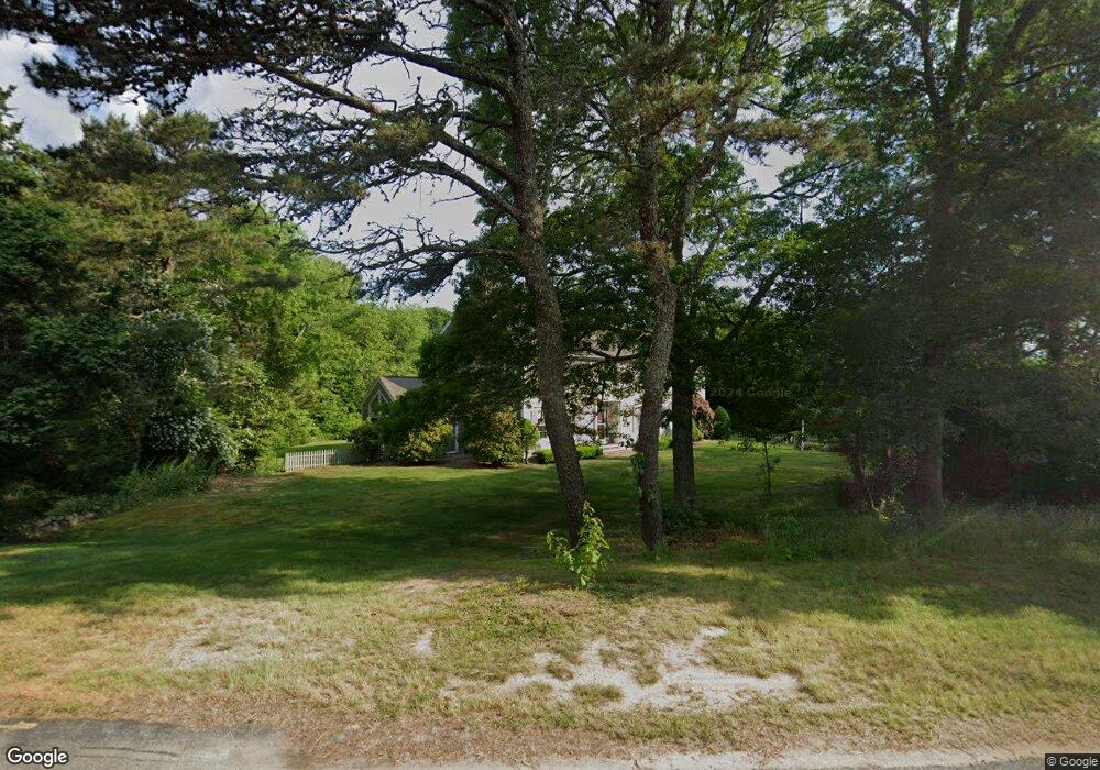
775 Mistic Dr Marstons Mills, MA 02648
Marstons Mills NeighborhoodEstimated Value: $1,228,503 - $1,367,000
About This Home
This home is located at 775 Mistic Dr, Marstons Mills, MA 02648 and is currently estimated at $1,283,876, approximately $376 per square foot. 775 Mistic Dr is a home located in Barnstable County with nearby schools including Barnstable United Elementary School, West Villages Elementary School, and Barnstable Intermediate School.
Ownership History
We collect this data history from publicly available records. To have your information removed, we recommend requesting removal directly through your county’s website.
Purchase Details
Purchase Details
Home Values in the Area
Average Home Value in this Area
Purchase History
We collect this data history from publicly available records. To have your information removed, we recommend requesting removal directly through your county’s website.
| Date | Buyer | Sale Price | Title Company |
|---|---|---|---|
| $680,000 | -- | ||
| $45,000 | -- |
Mortgage History
We collect this data history from publicly available records. To have your information removed, we recommend requesting removal directly through your county’s website.
| Date | Status | Borrower | Loan Amount |
|---|---|---|---|
| Open | $300,000 | ||
| Closed | $10,000 | ||
| Closed | $100,000 |
Tax History
We collect this data history from publicly available records. To have your information removed, we recommend requesting removal directly through your county’s website.
| Year | Tax Paid | Tax Assessment Tax Assessment Total Assessment is a certain percentage of the fair market value that is determined by local assessors to be the total taxable value of land and additions on the property. | Land | Improvement |
|---|---|---|---|---|
| 2025 | $7,951 | $982,800 | $248,500 | $734,300 |
| 2024 | $7,347 | $940,700 | $248,500 | $692,200 |
| 2023 | $6,873 | $824,100 | $226,000 | $598,100 |
| 2022 | $6,226 | $645,800 | $155,900 | $489,900 |
| 2021 | $6,379 | $608,100 | $158,300 | $449,800 |
| 2020 | $6,691 | $610,500 | $229,700 | $380,800 |
| 2019 | $7,084 | $628,000 | $242,400 | $385,600 |
| 2018 | $6,537 | $582,600 | $241,800 | $340,800 |
| 2017 | $6,231 | $579,100 | $248,500 | $330,600 |
| 2016 | $6,371 | $584,500 | $253,900 | $330,600 |
| 2015 | $6,102 | $562,400 | $240,800 | $321,600 |
Map
- 199 Cammett Rd
- 152 River Ridge Dr
- 24 Starlight Dr
- 192 Sandy Valley Rd
- 442 Flint St
- 17 Galleon Way
- 8 Brigantine Ave
- 251 Lakeside Dr
- 18 Calico Ln
- 17 Claus Way
- 64 Roseland Terrace
- 303 Turtleback Rd
- 476 Baxters Neck Rd
- 981 River Rd
- 280 Ice Valley Rd
- 34 Farm Valley Rd
- 102 Waterford Dr
- 635 Santuit-Newtown Rd
- 175 Hickory Hill Cir
- 635 Santuit Newtown Rd
Ask me questions while you tour the home.