Estimated Value: $184,000 - $282,000
1
Bed
2
Baths
681
Sq Ft
$317/Sq Ft
Est. Value
About This Home
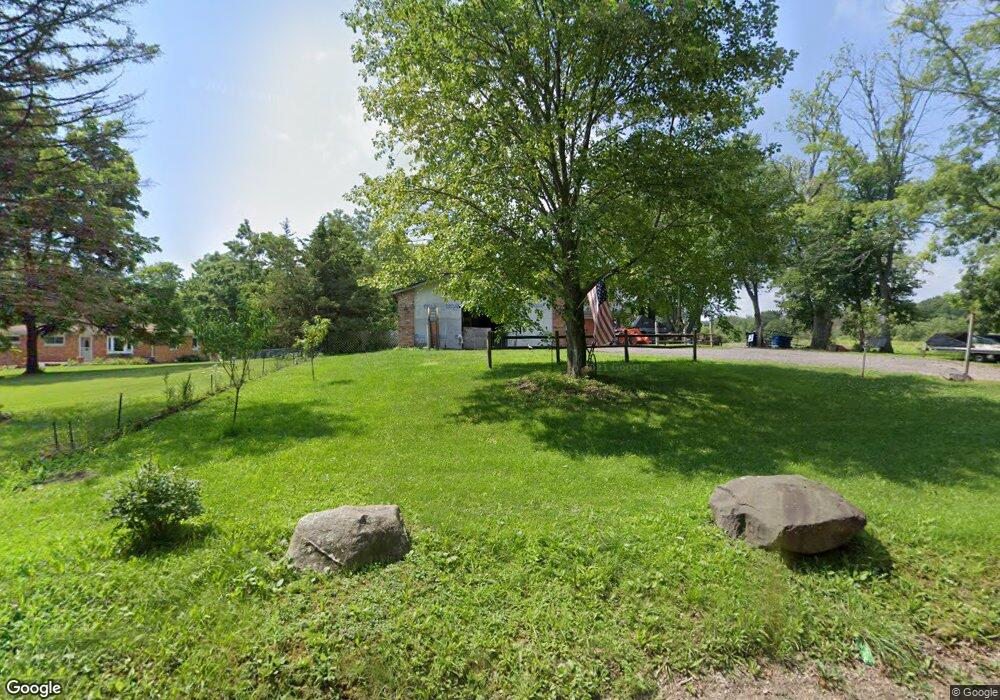
This home is located at 7755 Pepper Rd, Holly, MI 48442 and is currently estimated at $216,177, approximately $317 per square foot. 7755 Pepper Rd is a home located in Oakland County with nearby schools including Holly High School.
Ownership History
Date
Name
Owned For
Owner Type
Purchase Details
Closed on
Oct 30, 2013
Sold by
Baker Frank W and Baker Freda A
Bought by
Bucchel Thomas R and Bucchel Julie M
Current Estimated Value
Purchase Details
Closed on
Oct 4, 2012
Sold by
Baker Frank W and Baker Freda A
Bought by
Baker Frank W and Baker Freda A
Purchase Details
Closed on
Jun 28, 2012
Sold by
Tipton Robin D
Bought by
Baker Frank W and Baker Freda
Purchase Details
Closed on
Feb 17, 2004
Sold by
L E Marlowe & Sons Ltd
Bought by
Tipton Robin D and Mcdonald Robin D
Home Financials for this Owner
Home Financials are based on the most recent Mortgage that was taken out on this home.
Original Mortgage
$70,000
Interest Rate
5.71%
Mortgage Type
Purchase Money Mortgage
Create a Home Valuation Report for This Property
The Home Valuation Report is an in-depth analysis detailing your home's value as well as a comparison with similar homes in the area
Home Values in the Area
Average Home Value in this Area
Purchase History
| Date | Buyer | Sale Price | Title Company |
|---|---|---|---|
| Bucchel Thomas R | -- | None Available | |
| Baker Frank W | -- | None Available | |
| Baker Frank W | -- | None Available | |
| Tipton Robin D | $74,000 | Lawyers Title |
Source: Public Records
Mortgage History
| Date | Status | Borrower | Loan Amount |
|---|---|---|---|
| Previous Owner | Tipton Robin D | $70,000 |
Source: Public Records
Tax History
| Year | Tax Paid | Tax Assessment Tax Assessment Total Assessment is a certain percentage of the fair market value that is determined by local assessors to be the total taxable value of land and additions on the property. | Land | Improvement |
|---|---|---|---|---|
| 2025 | $1,399 | $85,130 | $0 | $0 |
| 2024 | $1,399 | $80,050 | $0 | $0 |
| 2023 | $1,335 | $73,220 | $0 | $0 |
| 2022 | $1,271 | $66,890 | $0 | $0 |
| 2021 | $1,236 | $62,850 | $0 | $0 |
| 2020 | $1,221 | $54,380 | $0 | $0 |
| 2019 | $1,396 | $52,360 | $0 | $0 |
| 2018 | $773 | $16,240 | $0 | $0 |
| 2017 | $406 | $16,240 | $0 | $0 |
| 2016 | $403 | $16,250 | $0 | $0 |
| 2015 | -- | $13,080 | $0 | $0 |
| 2014 | -- | $11,500 | $0 | $0 |
| 2011 | -- | $50,200 | $0 | $0 |
Source: Public Records
Map
Nearby Homes
- 8600 Eagle Rd
- 5567 Birch Ln
- 3667 Falcons Nest
- N/A White Lake Rd
- 000 Demode Rd
- 13180 Woodland Trail
- 144 Franklin St
- 5705 Lake Grove Dr
- 5691 Lake Grove Dr
- N/A Giddings Blvd
- 5275 Lake Grove Dr
- 2300 Jackson Blvd
- 12100 Woodland Trail
- 2935 Jackson Blvd
- 5492 E Alyssa Ct
- 4904 Lake Grove Dr
- 2754 Fishermans Dr
- 125 Forest Way
- 102 Forest Way
- 303 Samantha Way
- 7735 Pepper Rd
- 00 Homestead Ct
- 2355 Homestead Ct
- 0 Pepper Unit 68021005936
- 2375 Homestead Ct
- 0 Homestead Crt Unit 4971640
- 0 Homestead Crt Unit R219024082
- 7975 Pepper Rd
- 0 Pepper Rd
- LOT 9 Homestead Ct
- 8055 Pepper Rd
- 8125 Pepper Rd
- 2220 Ranch Rd
- 2600 Homestead Ct
- 2500 Homestead Ct
- 2040 Ranch Rd
- 2400 Ranch Rd
- 2310 Ranch Rd
- 1860 Ranch Rd
- 000000 Pepper Rd
Your Personal Tour Guide
Ask me questions while you tour the home.