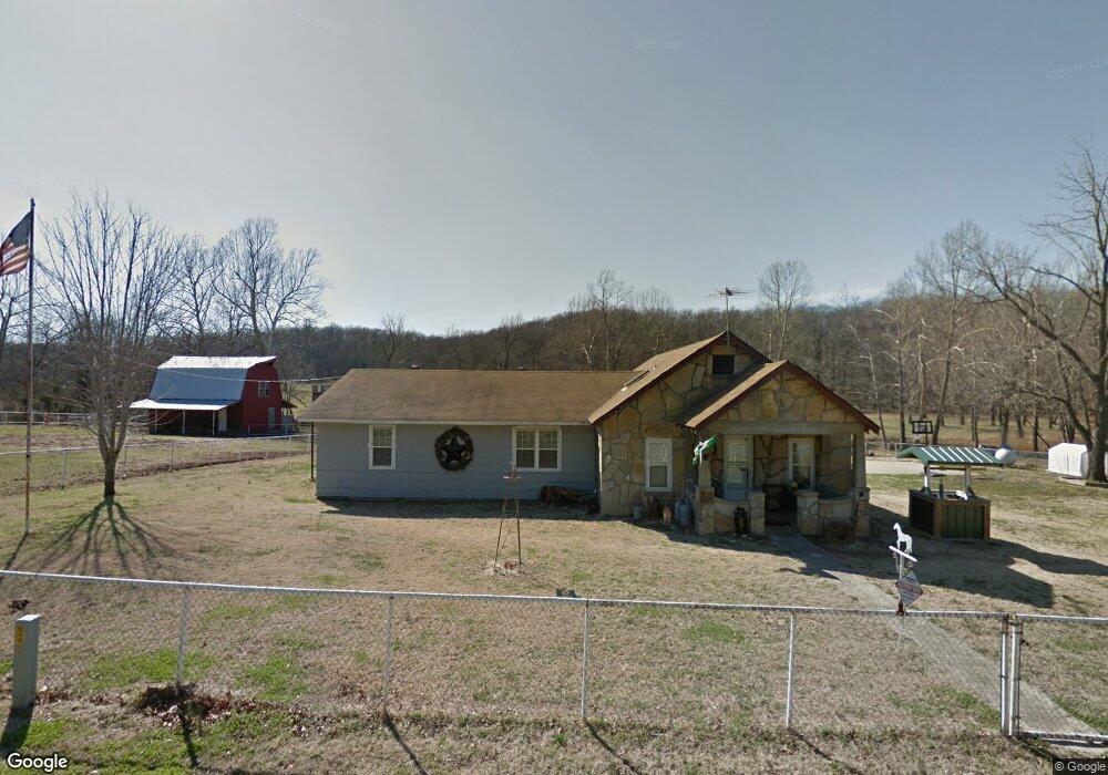
7760 S 437 Locust Grove, OK 74352
Estimated Value: $209,000 - $330,530
4
Beds
2
Baths
1,688
Sq Ft
$161/Sq Ft
Est. Value
About This Home
This home is located at 7760 S 437, Locust Grove, OK 74352 and is currently estimated at $272,383, approximately $161 per square foot. 7760 S 437 is a home located in Mayes County with nearby schools including Locust Grove Early Lrning Center, Locust Grove Upper Elementary School, and Locust Grove Middle School.
Ownership History
Date
Name
Owned For
Owner Type
Purchase Details
Closed on
Jul 16, 2007
Sold by
Stevenson Sharon E
Bought by
Thrash Michael Ken
Current Estimated Value
Home Financials for this Owner
Home Financials are based on the most recent Mortgage that was taken out on this home.
Original Mortgage
$10,000
Interest Rate
6.69%
Mortgage Type
Unknown
Purchase Details
Closed on
Aug 18, 2005
Sold by
Thrash Michael Ken
Bought by
Wilson Christopher C and Wilson Jayneen D
Home Financials for this Owner
Home Financials are based on the most recent Mortgage that was taken out on this home.
Original Mortgage
$116,000
Interest Rate
6.29%
Mortgage Type
Unknown
Purchase Details
Closed on
Dec 15, 1999
Sold by
Thrash Tommy
Bought by
Thrash Michael
Create a Home Valuation Report for This Property
The Home Valuation Report is an in-depth analysis detailing your home's value as well as a comparison with similar homes in the area
Purchase History
| Date | Buyer | Sale Price | Title Company |
|---|---|---|---|
| Thrash Michael Ken | $30,000 | None Available | |
| Wilson Christopher C | $146,000 | None Available | |
| Thrash Michael | -- | -- |
Source: Public Records
Mortgage History
| Date | Status | Borrower | Loan Amount |
|---|---|---|---|
| Previous Owner | Thrash Michael Ken | $10,000 | |
| Previous Owner | Wilson Christopher C | $116,000 |
Source: Public Records
Tax History
| Year | Tax Paid | Tax Assessment Tax Assessment Total Assessment is a certain percentage of the fair market value that is determined by local assessors to be the total taxable value of land and additions on the property. | Land | Improvement |
|---|---|---|---|---|
| 2025 | $1,402 | $16,103 | $1,572 | $14,531 |
| 2023 | $1,361 | $15,180 | $1,062 | $14,118 |
| 2022 | $1,239 | $14,738 | $937 | $13,801 |
| 2021 | $1,226 | $14,308 | $750 | $13,558 |
| 2020 | $1,206 | $13,891 | $881 | $13,010 |
| 2019 | $1,169 | $13,487 | $881 | $12,606 |
| 2018 | $1,193 | $13,487 | $881 | $12,606 |
| 2017 | $1,193 | $13,487 | $881 | $12,606 |
| 2016 | $1,165 | $13,487 | $881 | $12,606 |
| 2015 | $1,203 | $13,487 | $881 | $12,606 |
| 2014 | $1,202 | $13,487 | $881 | $12,606 |
Source: Public Records
Map
Nearby Homes
- 0 N 435 Rd Unit 2602770
- 0 N 435 Rd Unit 2602754
- 0 N 435 Rd Unit 2602767
- 0 N 435 Rd Unit 2545167
- 471 S 437
- 9838 S 4392
- 0 Orange St
- 0 Peach St
- 303 N Wyandotte
- 2596 E 599
- 1 W Ross St
- 01 W Ross St
- 2788 E 599
- 301 S Water St
- 8604 S County Road 4468
- 306 N Water St
- 8670 S 4468 Ln
- 715 S Cherokee St
- 608 S Cherokee St
- 604 Radcliff Ave
Your Personal Tour Guide
Ask me questions while you tour the home.