777 Custer Rd Unit 1 Richardson, TX 75080
Richardson Heights NeighborhoodEstimated Value: $303,000 - $388,000
2
Beds
2
Baths
1,208
Sq Ft
$282/Sq Ft
Est. Value
About This Home
This home is located at 777 Custer Rd Unit 1, Richardson, TX 75080 and is currently estimated at $340,450, approximately $281 per square foot. 777 Custer Rd Unit 1 is a home located in Dallas County with nearby schools including Richardson Heights Elementary School, Richardson West Jr. High School, and Richardson High School.
Ownership History
Date
Name
Owned For
Owner Type
Purchase Details
Closed on
Dec 17, 2018
Sold by
Peterson Leo Delbert and Peterson Leo D
Bought by
Riley Cheryl and Riley Steve
Current Estimated Value
Purchase Details
Closed on
Feb 13, 2002
Sold by
Pintur Mitchell L and Dollar Reagan M
Bought by
Peterson Leo D and Peterson Robbie L
Create a Home Valuation Report for This Property
The Home Valuation Report is an in-depth analysis detailing your home's value as well as a comparison with similar homes in the area
Home Values in the Area
Average Home Value in this Area
Purchase History
We collect this data history from publicly available records. To have your information removed, we recommend requesting removal directly through your county’s website.
| Date | Buyer | Sale Price | Title Company |
|---|---|---|---|
| Riley Cheryl | -- | Stewart Title | |
| Peterson Leo D | -- | -- |
Source: Public Records
Tax History
| Year | Tax Paid | Tax Assessment Tax Assessment Total Assessment is a certain percentage of the fair market value that is determined by local assessors to be the total taxable value of land and additions on the property. | Land | Improvement |
|---|---|---|---|---|
| 2025 | $6,911 | $316,930 | $78,380 | $238,550 |
| 2024 | $6,911 | $316,930 | $78,380 | $238,550 |
| 2023 | $6,911 | $334,440 | $58,780 | $275,660 |
| 2022 | $4,874 | $199,320 | $31,350 | $167,970 |
| 2021 | $5,227 | $199,320 | $31,350 | $167,970 |
| 2020 | $5,321 | $199,320 | $31,350 | $167,970 |
| 2019 | $5,584 | $199,320 | $31,350 | $167,970 |
| 2018 | $4,325 | $161,870 | $15,680 | $146,190 |
| 2017 | $3,225 | $120,800 | $15,680 | $105,120 |
| 2016 | $2,621 | $98,150 | $15,680 | $82,470 |
| 2015 | $2,590 | $98,150 | $15,680 | $82,470 |
| 2014 | $2,590 | $98,150 | $15,680 | $82,470 |
Source: Public Records
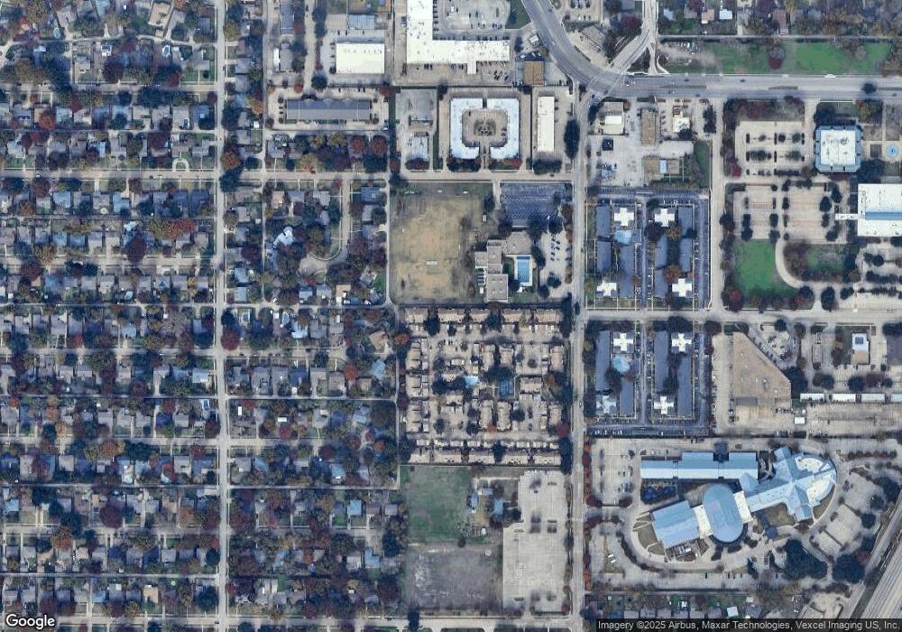
Map
Nearby Homes
- 777 Custer Rd Unit 2-3
- 777 Custer Rd Unit 9-4
- 530 Parkview Ln
- 521 Ridgedale Dr
- 510 Westwood Dr
- 520 Westwood Dr
- 444 Hanbee St
- 523 Westwood Dr
- 601 Ridgedale Dr
- 628 Parkview Ln
- 623 Opal Ln
- 800 N Floyd Rd
- 804 N Floyd Rd
- 801 Lorrie Dr
- 630 Lockwood Dr
- 404 Jolee St
- 428 Daniel St
- 719 Northill Dr
- 718 Ridgedale Dr
- 440 Vernet St
- 777 Custer Rd Unit 8-1
- 777 Custer Rd Unit 5-2
- 777 Custer Rd Unit 4
- 777 Custer Rd Unit 2
- 777 Custer Rd Unit 3
- 777 Custer Rd Unit 4
- 777 Custer Rd Unit 1
- 777 Custer Rd Unit 2
- 777 Custer Rd Unit 3
- 777 Custer Rd Unit 2
- 777 Custer Rd Unit 2
- 777 Custer Rd Unit 1
- 777 Custer Rd Unit 4
- 777 Custer Rd Unit 1
- 777 Custer Rd Unit 3
- 777 Custer Rd Unit 3
- 777 Custer Rd Unit 2
- 777 Custer Rd Unit 1
- 777 Custer Rd Unit 4
- 777 Custer Rd Unit 2
Your Personal Tour Guide
Ask me questions while you tour the home.