777 Custer Rd Unit 1 Richardson, TX 75080
Richardson Heights NeighborhoodEstimated Value: $281,000 - $320,000
2
Beds
2
Baths
1,208
Sq Ft
$246/Sq Ft
Est. Value
About This Home
This home is located at 777 Custer Rd Unit 1, Richardson, TX 75080 and is currently estimated at $296,663, approximately $245 per square foot. 777 Custer Rd Unit 1 is a home located in Dallas County with nearby schools including Richardson Heights Elementary School, Richardson West Jr. High School, and Richardson High School.
Ownership History
Date
Name
Owned For
Owner Type
Purchase Details
Closed on
Nov 22, 2024
Sold by
Bush Paul V
Bought by
Rankin Laura Gene
Current Estimated Value
Purchase Details
Closed on
Dec 15, 1998
Sold by
Daily Terrill A
Bought by
Bush Paul
Home Financials for this Owner
Home Financials are based on the most recent Mortgage that was taken out on this home.
Original Mortgage
$45,500
Interest Rate
6.92%
Mortgage Type
Purchase Money Mortgage
Create a Home Valuation Report for This Property
The Home Valuation Report is an in-depth analysis detailing your home's value as well as a comparison with similar homes in the area
Home Values in the Area
Average Home Value in this Area
Purchase History
| Date | Buyer | Sale Price | Title Company |
|---|---|---|---|
| Rankin Laura Gene | -- | None Listed On Document | |
| Bush Paul | -- | -- |
Source: Public Records
Mortgage History
| Date | Status | Borrower | Loan Amount |
|---|---|---|---|
| Previous Owner | Bush Paul | $45,500 |
Source: Public Records
Tax History
| Year | Tax Paid | Tax Assessment Tax Assessment Total Assessment is a certain percentage of the fair market value that is determined by local assessors to be the total taxable value of land and additions on the property. | Land | Improvement |
|---|---|---|---|---|
| 2025 | $6,911 | $297,050 | $78,380 | $218,670 |
| 2024 | $6,911 | $316,930 | $78,380 | $238,550 |
| 2023 | $6,911 | $320,780 | $58,780 | $262,000 |
| 2022 | $4,874 | $199,320 | $31,350 | $167,970 |
| 2021 | $5,227 | $199,320 | $31,350 | $167,970 |
| 2020 | $5,321 | $199,320 | $31,350 | $167,970 |
| 2019 | $5,584 | $199,320 | $31,350 | $167,970 |
| 2018 | $4,325 | $161,870 | $15,680 | $146,190 |
| 2017 | $3,225 | $120,800 | $15,680 | $105,120 |
| 2016 | $2,621 | $98,150 | $15,680 | $82,470 |
| 2015 | $2,590 | $98,150 | $15,680 | $82,470 |
| 2014 | $2,590 | $98,150 | $15,680 | $82,470 |
Source: Public Records
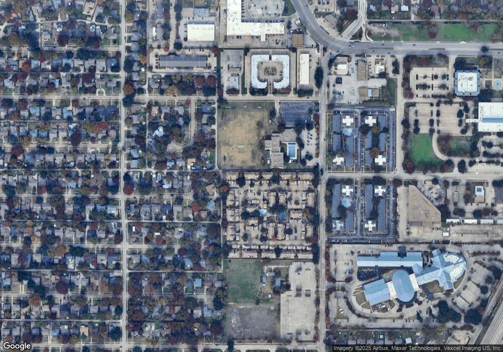
Map
Nearby Homes
- 777 Custer Rd Unit 22-4
- 777 Custer Rd Unit 2-3
- 530 Parkview Ln
- 521 Ridgedale Dr
- 510 Westwood Dr
- 444 Hanbee St
- 523 Westwood Dr
- 601 Ridgedale Dr
- 628 Parkview Ln
- 623 Opal Ln
- 800 N Floyd Rd
- 444 Jolee St
- 801 Lorrie Dr
- 700 Ridgedale Dr
- 630 Lockwood Dr
- 428 Daniel St
- 719 Northill Dr
- 429 Vernet St
- 440 Vernet St
- 717 Ridgedale Dr
- 777 Custer Rd Unit 8-1
- 777 Custer Rd Unit 5-2
- 777 Custer Rd Unit 4
- 777 Custer Rd Unit 2
- 777 Custer Rd Unit 1
- 777 Custer Rd Unit 3
- 777 Custer Rd Unit 4
- 777 Custer Rd Unit 1
- 777 Custer Rd Unit 2
- 777 Custer Rd Unit 3
- 777 Custer Rd Unit 2
- 777 Custer Rd Unit 2
- 777 Custer Rd Unit 1
- 777 Custer Rd Unit 4
- 777 Custer Rd Unit 3
- 777 Custer Rd Unit 3
- 777 Custer Rd Unit 2
- 777 Custer Rd Unit 1
- 777 Custer Rd Unit 4
- 777 Custer Rd Unit 2
Your Personal Tour Guide
Ask me questions while you tour the home.