779 Mayhew Rd Starks, ME 04911
Estimated Value: $81,053 - $252,000
Studio
--
Bath
--
Sq Ft
222,156
Sq Ft Lot
About This Home
This home is located at 779 Mayhew Rd, Starks, ME 04911 and is currently estimated at $200,513. 779 Mayhew Rd is a home with nearby schools including Madison Area Memorial High School.
Create a Home Valuation Report for This Property
The Home Valuation Report is an in-depth analysis detailing your home's value as well as a comparison with similar homes in the area
Tax History
| Year | Tax Paid | Tax Assessment Tax Assessment Total Assessment is a certain percentage of the fair market value that is determined by local assessors to be the total taxable value of land and additions on the property. | Land | Improvement |
|---|---|---|---|---|
| 2024 | $579 | $40,190 | $15,940 | $24,250 |
| 2023 | $561 | $40,190 | $15,940 | $24,250 |
| 2022 | $510 | $40,190 | $15,940 | $24,250 |
| 2021 | $576 | $41,740 | $15,940 | $25,800 |
| 2020 | $657 | $41,740 | $15,940 | $25,800 |
| 2019 | $621 | $33,280 | $13,280 | $20,000 |
| 2018 | $586 | $33,280 | $13,280 | $20,000 |
| 2017 | $557 | $33,280 | $13,280 | $20,000 |
| 2016 | $468 | $23,990 | $10,670 | $13,320 |
Source: Public Records
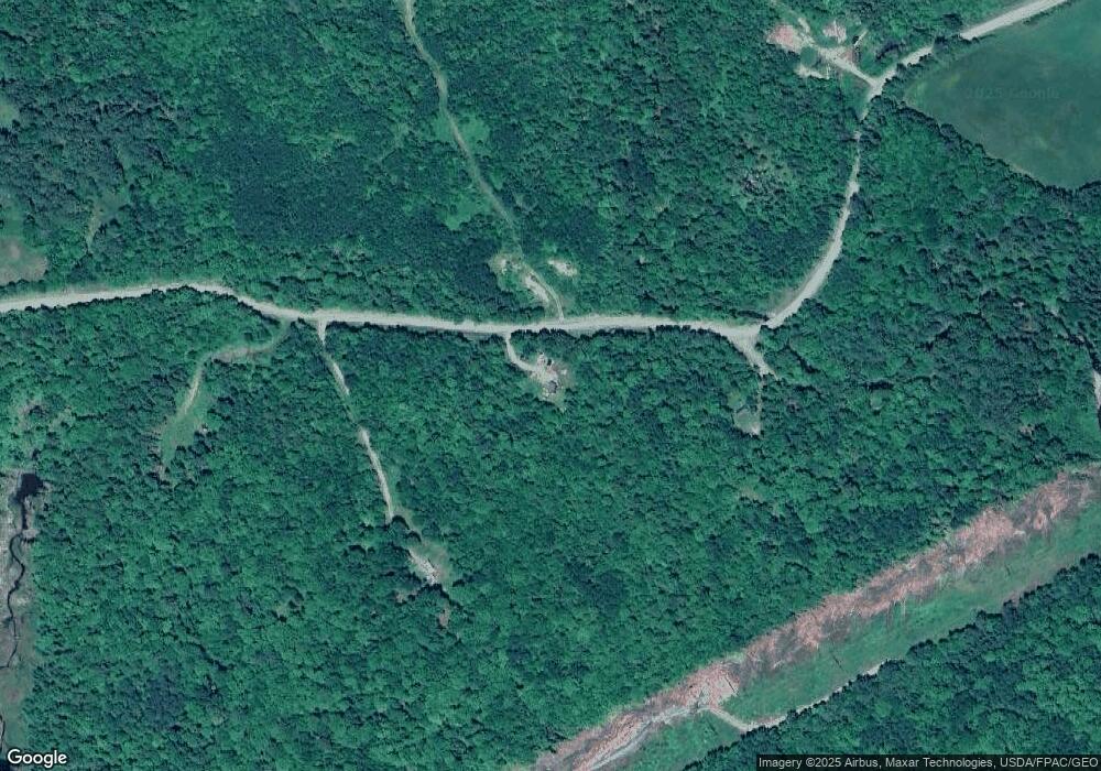
Map
Nearby Homes
- 637 Mayhew Rd
- 621 Mayhew Rd
- 713 Mayhew Rd
- 724 Mayhew Rd
- 48 Redneck Rd
- 38 Redneck Rd
- 81 Redneck Rd
- 127 Redneck Rd
- Lot 29 Laura's Way
- 5 Redneck Rd
- 9999 Third St
- M17 L38 Patterson Bridge Rd
- M23 L44l Spruce Dr
- Mr2 L38 Route 43 & Poor Farm Rd
- M19 L8-2 Town Farm Rd
- 182 Carrabassett River Rd
- 0 Farm Unit 947637
- 36 Campground Rd
- Lot 7 No St
- 28 Carrabassett Rd
Your Personal Tour Guide
Ask me questions while you tour the home.