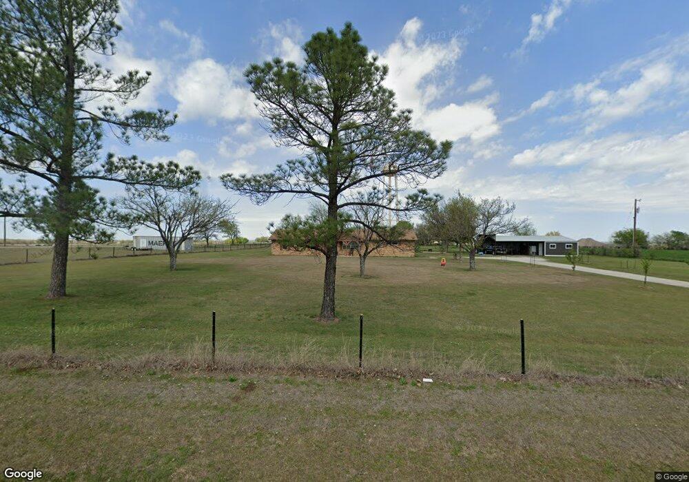
7796 Michael Rd Sanger, TX 76266
Estimated Value: $360,456 - $404,000
3
Beds
2
Baths
1,616
Sq Ft
$233/Sq Ft
Est. Value
About This Home
This home is located at 7796 Michael Rd, Sanger, TX 76266 and is currently estimated at $376,114, approximately $232 per square foot. 7796 Michael Rd is a home located in Denton County with nearby schools including Chisholm Trail Elementary School, Clear Creek Intermediate School, and Sanger Sixth Grade Campus.
Ownership History
Date
Name
Owned For
Owner Type
Purchase Details
Closed on
Feb 22, 2019
Sold by
Tucker Janis Earl
Bought by
Williams James and Williams Lauren Alyson
Current Estimated Value
Home Financials for this Owner
Home Financials are based on the most recent Mortgage that was taken out on this home.
Original Mortgage
$255,375
Outstanding Balance
$224,063
Interest Rate
4.4%
Mortgage Type
VA
Estimated Equity
$152,051
Create a Home Valuation Report for This Property
The Home Valuation Report is an in-depth analysis detailing your home's value as well as a comparison with similar homes in the area
Home Values in the Area
Average Home Value in this Area
Purchase History
We collect this data history from publicly available records. To have your information removed, we recommend requesting removal directly through your county’s website.
| Date | Buyer | Sale Price | Title Company |
|---|---|---|---|
| Williams James | -- | None Available |
Source: Public Records
Mortgage History
We collect this data history from publicly available records. To have your information removed, we recommend requesting removal directly through your county’s website.
| Date | Status | Borrower | Loan Amount |
|---|---|---|---|
| Open | Williams James | $255,375 |
Source: Public Records
Tax History
| Year | Tax Paid | Tax Assessment Tax Assessment Total Assessment is a certain percentage of the fair market value that is determined by local assessors to be the total taxable value of land and additions on the property. | Land | Improvement |
|---|---|---|---|---|
| 2025 | $1,580 | $209,764 | $107,625 | $102,139 |
| 2024 | $2,733 | $201,331 | $0 | $0 |
| 2023 | $1,341 | $183,028 | $106,750 | $162,810 |
| 2022 | $2,760 | $166,389 | $47,688 | $133,336 |
| 2021 | $2,207 | $151,263 | $35,000 | $116,263 |
| 2020 | $2,336 | $148,691 | $35,000 | $113,691 |
| 2019 | $2,316 | $141,495 | $35,000 | $114,210 |
| 2018 | $2,121 | $128,632 | $35,000 | $103,332 |
| 2017 | $1,942 | $116,938 | $35,000 | $99,973 |
| 2016 | $1,765 | $106,307 | $22,750 | $83,557 |
| 2015 | $909 | $97,063 | $22,750 | $77,332 |
| 2013 | -- | $83,401 | $22,750 | $60,651 |
Source: Public Records
Map
Nearby Homes
- 9517 Indian Trail
- 7140 Davidson Rd
- 6568 Michael Rd
- 8803 Kassandra Dr
- 6501 Indian Trail
- 7509 Stonehenge Dr
- 7429 Stonehenge Dr
- 8875 Fm 2450
- 7425 Stonehenge Dr
- 7421 Stonehenge Dr
- 7417 Stonehenge Dr
- 7413 Stonehenge Dr
- 7405 Stonehenge Dr
- 6044 Mango Dr
- 7404 Stonehenge Dr
- 6037 Amber Dr
- TBD Michael Rd
- 6033 Mango Dr
- 6552 Private Rd 6601
- 6025 Mango Dr
- 9024 Indian Trail
- 7720 Michael Rd
- 8025 Jane Long Rd
- 8788 Indian Trail
- 7747 Michael Rd
- 9090 Indian Trail
- 8024 Jane Long Rd
- 7701 Michael Rd
- 7980 Jane Long Rd
- 7675 Michael Rd
- 7674 Michael Rd
- 8625 Lamar St
- 7936 Jane Long Rd
- 8735 Lamar St
- 7610 Michael Rd
- 8515 Lamar St
- 219 Jane Long St
- 8520 Lamar St
- 8474 Lamar St
- 7841 Jane Long Rd
Your Personal Tour Guide
Ask me questions while you tour the home.