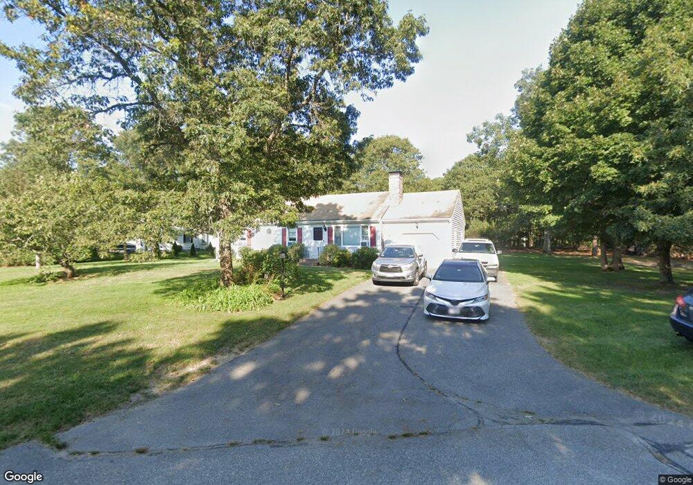
78 Curtis Rd Cotuit, MA 02635
Cotuit NeighborhoodEstimated Value: $618,039 - $685,000
About This Home
This home is located at 78 Curtis Rd, Cotuit, MA 02635 and is currently estimated at $648,760, approximately $648 per square foot. 78 Curtis Rd is a home located in Barnstable County with nearby schools including West Villages Elementary School, Barnstable United Elementary School, and Barnstable Intermediate School.
Ownership History
We collect this data history from publicly available records. To have your information removed, we recommend requesting removal directly through your county’s website.
Purchase Details
Home Financials for this Owner
Home Financials are based on the most recent Mortgage that was taken out on this home.Home Values in the Area
Average Home Value in this Area
Purchase History
We collect this data history from publicly available records. To have your information removed, we recommend requesting removal directly through your county’s website.
| Date | Buyer | Sale Price | Title Company |
|---|---|---|---|
| $140,000 | -- |
Mortgage History
We collect this data history from publicly available records. To have your information removed, we recommend requesting removal directly through your county’s website.
| Date | Status | Borrower | Loan Amount |
|---|---|---|---|
| Open | $156,000 | ||
| Closed | $144,000 | ||
| Closed | $119,000 |
Tax History
We collect this data history from publicly available records. To have your information removed, we recommend requesting removal directly through your county’s website.
| Year | Tax Paid | Tax Assessment Tax Assessment Total Assessment is a certain percentage of the fair market value that is determined by local assessors to be the total taxable value of land and additions on the property. | Land | Improvement |
|---|---|---|---|---|
| 2025 | $4,175 | $500,000 | $178,700 | $321,300 |
| 2024 | $3,916 | $497,000 | $178,700 | $318,300 |
| 2023 | $3,664 | $437,800 | $162,700 | $275,100 |
| 2022 | $3,749 | $362,600 | $121,200 | $241,400 |
| 2021 | $3,521 | $318,900 | $121,200 | $197,700 |
| 2020 | $3,836 | $327,600 | $130,100 | $197,500 |
| 2019 | $3,617 | $304,500 | $130,100 | $174,400 |
| 2018 | $3,383 | $284,800 | $136,900 | $147,900 |
| 2017 | $3,284 | $278,300 | $136,900 | $141,400 |
| 2016 | $3,210 | $278,900 | $137,500 | $141,400 |
| 2015 | $3,023 | $262,400 | $131,800 | $130,600 |
Map
- 54 Frazier Way
- 1456 Santuit Newtown Rd
- 80 Roosevelt Rd
- 102 Waterford Dr
- 1519 Santuit Newtown Rd
- 244 Wakeby Rd
- 125 Highpoint Rd
- 75 Bob White Run
- 17 Claus Way
- 147 Chippingstone Rd
- 763 Santuit-Newtown Rd
- 57 Debbies Ln
- 9 Debbies Ln
- 128 Deerfoot Cir
- 476 Baxters Neck Rd
- 564 Cotuit Bay Dr
- 205 Little River Rd
- 45 Eastview Terrace
- 174 Little River Rd
- 359 Baxter Neck Rd
- 16 Tarragon Cir
- 13 Tarragon Cir
- 105 Stub Toe Rd
- 27 Tarragon Cir
- 93 Stub Toe Rd
- 32 Tarragon Cir
- 100 Stub Toe Rd
- 1 Curtis Rd
- 54 Curtis Rd
- 81 Stub Toe Rd
- 41 Tarragon Cir
- 33 Tree Line Dr
- 19 Fox Den Bluff Rd
- 11 Cherrywood Ln
- 84 Stub Toe Rd
- 58 Fox Den Bluff Rd
- 69 Stub Toe Rd
- 31 Cherrywood Ln
- 55 Tarragon Cir
- 70 Stub Toe Rd
Ask me questions while you tour the home.