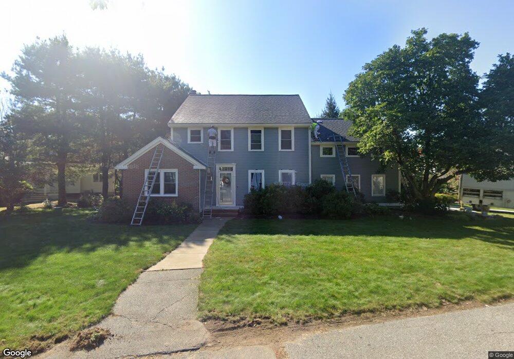
78 Phillips Common North Andover, MA 01845
Estimated Value: $938,027 - $1,216,000
4
Beds
4
Baths
2,534
Sq Ft
$419/Sq Ft
Est. Value
About This Home
This home is located at 78 Phillips Common, North Andover, MA 01845 and is currently estimated at $1,061,007, approximately $418 per square foot. 78 Phillips Common is a home located in Essex County with nearby schools including Kittredge Elementary School, North Andover Middle School, and North Andover High School.
Ownership History
Date
Name
Owned For
Owner Type
Purchase Details
Closed on
Oct 15, 2008
Sold by
Bedard Marc and Bedard Pamela G
Bought by
Ziel J Mark and Ziel Nancy
Current Estimated Value
Purchase Details
Closed on
Jun 23, 2005
Sold by
Liu Jay G and Zhao Wenrong
Bought by
Bedard Marc and Gallagher Pamela
Purchase Details
Closed on
Jul 31, 2000
Sold by
Bordogna Mark A and Bordogna Paula M
Bought by
Liu Jay G and Zhao Wenrong
Purchase Details
Closed on
Jul 27, 1992
Sold by
Phillips Common Rt
Bought by
Bordogna Mark A
Create a Home Valuation Report for This Property
The Home Valuation Report is an in-depth analysis detailing your home's value as well as a comparison with similar homes in the area
Home Values in the Area
Average Home Value in this Area
Purchase History
| Date | Buyer | Sale Price | Title Company |
|---|---|---|---|
| Ziel J Mark | $543,500 | -- | |
| Bedard Marc | $605,000 | -- | |
| Liu Jay G | $470,000 | -- | |
| Bordogna Mark A | $239,110 | -- |
Source: Public Records
Mortgage History
| Date | Status | Borrower | Loan Amount |
|---|---|---|---|
| Open | Bordogna Mark A | $392,500 | |
| Closed | Bordogna Mark A | $398,000 |
Source: Public Records
Tax History
| Year | Tax Paid | Tax Assessment Tax Assessment Total Assessment is a certain percentage of the fair market value that is determined by local assessors to be the total taxable value of land and additions on the property. | Land | Improvement |
|---|---|---|---|---|
| 2025 | $9,552 | $848,300 | $341,900 | $506,400 |
| 2024 | $9,108 | $821,300 | $323,900 | $497,400 |
| 2023 | $8,679 | $709,100 | $273,500 | $435,600 |
| 2022 | $8,405 | $621,200 | $248,300 | $372,900 |
| 2021 | $8,075 | $569,900 | $224,900 | $345,000 |
| 2020 | $7,830 | $569,900 | $224,900 | $345,000 |
| 2019 | $7,642 | $569,900 | $224,900 | $345,000 |
| 2018 | $8,281 | $569,900 | $224,900 | $345,000 |
| 2017 | $6,959 | $487,300 | $186,400 | $300,900 |
| 2016 | $6,577 | $460,900 | $185,300 | $275,600 |
| 2015 | $6,960 | $483,700 | $178,800 | $304,900 |
Source: Public Records
Map
Nearby Homes
- 137 Bay State Rd
- 30 Fernview Ave Unit 4
- 279 Osgood St
- 80 Edgelawn Ave Unit 6
- 78 Edgelawn Ave Unit 7
- 70 Farrwood Ave Unit 7
- 37 Lincoln St Unit 39
- 27 Mill Pond
- 36 Richardson Ave
- 350 Greene St Unit 410
- 350 Greene St Unit 305
- 148 Main St Unit F543
- 170 Haverhill St Unit 138
- 94 Main St
- 335 Salem St
- 206 Dale St
- 30 Anne Rd
- 30-32 Exeter St
- 42 York St
- 143 Foster St
- 64 Phillips Common
- 88 Phillips Common
- 83 Phillips Common
- 75 Phillips Common
- 89 Phillips Common
- 100 Phillips Common
- 114 Phillips Common
- 67 Phillips Common
- 124 Phillips Common
- 59 Phillips Common
- 44 Phillips Common
- 95 Phillips Common
- 18 Phillips Common
- 28 Phillips Common
- 103 Phillips Common
- 51 Phillips Common
- 117 Phillips Common
- 109 Phillips Common
- 125 Phillips Common
- 28 Bay State Rd
Your Personal Tour Guide
Ask me questions while you tour the home.