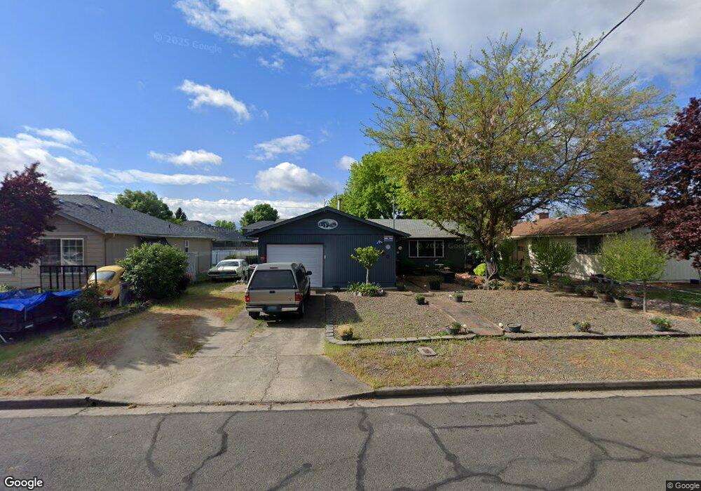
780 Ash St Central Point, OR 97502
Estimated Value: $291,000 - $342,000
3
Beds
2
Baths
1,092
Sq Ft
$296/Sq Ft
Est. Value
About This Home
This home is located at 780 Ash St, Central Point, OR 97502 and is currently estimated at $323,094, approximately $295 per square foot. 780 Ash St is a home located in Jackson County with nearby schools including Central Point Elementary School, Scenic Middle School, and Crater High School.
Ownership History
Date
Name
Owned For
Owner Type
Purchase Details
Closed on
Mar 26, 2025
Sold by
Skelton Betty Jean
Bought by
Betty Jean Skelton Living Trust and Skelton
Current Estimated Value
Purchase Details
Closed on
Feb 14, 2020
Sold by
Buxton Winslow H and Winslow H Buxton Revocable Tru
Bought by
Buxton Ranch Llc
Create a Home Valuation Report for This Property
The Home Valuation Report is an in-depth analysis detailing your home's value as well as a comparison with similar homes in the area
Purchase History
We collect this data history from publicly available records. To have your information removed, we recommend requesting removal directly through your county’s website.
| Date | Buyer | Sale Price | Title Company |
|---|---|---|---|
| Betty Jean Skelton Living Trust | -- | None Listed On Document | |
| Buxton Ranch Llc | -- | None Available |
Source: Public Records
Tax History
| Year | Tax Paid | Tax Assessment Tax Assessment Total Assessment is a certain percentage of the fair market value that is determined by local assessors to be the total taxable value of land and additions on the property. | Land | Improvement |
|---|---|---|---|---|
| 2026 | $2,538 | $153,350 | -- | -- |
| 2025 | $2,476 | $148,890 | $51,910 | $96,980 |
| 2024 | $2,476 | $144,560 | $50,400 | $94,160 |
| 2023 | $2,396 | $140,350 | $48,930 | $91,420 |
| 2022 | $2,340 | $140,350 | $48,930 | $91,420 |
| 2021 | $2,273 | $136,270 | $47,500 | $88,770 |
| 2020 | $2,207 | $132,310 | $46,110 | $86,200 |
| 2019 | $2,153 | $124,720 | $43,470 | $81,250 |
| 2018 | $2,087 | $121,090 | $42,200 | $78,890 |
| 2017 | $2,035 | $121,090 | $42,200 | $78,890 |
| 2016 | $2,160 | $114,150 | $39,780 | $74,370 |
| 2015 | $1,893 | $114,150 | $39,780 | $74,370 |
| 2014 | $1,845 | $107,610 | $37,500 | $70,110 |
Source: Public Records
Map
Nearby Homes
- 450 Freeman Rd
- 647 Shadow Way
- 555 Freeman Rd Unit 257
- 555 Freeman Rd Unit 127
- 440 Bush St
- 301 Freeman Rd Unit 30
- 301 Freeman Rd Unit 92
- 301 Freeman Rd Unit 91
- 301 Freeman Rd Unit 70
- 301 Freeman Rd Unit 90
- 755 S 4th St
- 783 Columbine Way
- 604 Hemlock Ave
- 230 Peninger Rd
- 547 Laurel St
- 512 Village Dr Unit B5
- 1600 E Pine St
- 566 Village Dr Unit F23
- 1175 Lindsey Ct
- 625 Cherry St
Your Personal Tour Guide
Ask me questions while you tour the home.