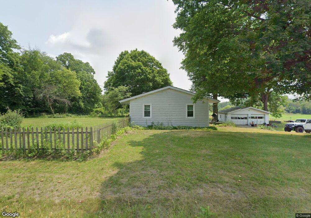
7802 E 250 N Rolling Prairie, IN 46371
Estimated Value: $140,973 - $364,000
1
Bed
1
Bath
960
Sq Ft
$270/Sq Ft
Est. Value
About This Home
This home is located at 7802 E 250 N, Rolling Prairie, IN 46371 and is currently estimated at $258,743, approximately $269 per square foot. 7802 E 250 N is a home located in LaPorte County with nearby schools including New Prairie High School.
Create a Home Valuation Report for This Property
The Home Valuation Report is an in-depth analysis detailing your home's value as well as a comparison with similar homes in the area
Tax History
| Year | Tax Paid | Tax Assessment Tax Assessment Total Assessment is a certain percentage of the fair market value that is determined by local assessors to be the total taxable value of land and additions on the property. | Land | Improvement |
|---|---|---|---|---|
| 2025 | $1,686 | $82,500 | $17,700 | $64,800 |
| 2024 | $1,310 | $82,600 | $17,800 | $64,800 |
| 2022 | $1,312 | $63,600 | $13,600 | $50,000 |
| 2021 | $1,252 | $58,400 | $25,700 | $32,700 |
| 2020 | $1,256 | $58,400 | $25,700 | $32,700 |
| 2019 | $1,166 | $54,200 | $23,900 | $30,300 |
| 2018 | $1,125 | $54,200 | $21,300 | $32,900 |
| 2017 | $1,522 | $73,300 | $28,800 | $44,500 |
| 2016 | $1,667 | $75,200 | $28,900 | $46,300 |
| 2014 | $1,505 | $76,300 | $21,400 | $54,900 |
Source: Public Records
Map
Nearby Homes
- 8416 E 400 N
- 67 Acres E 300 N
- 8256 E State Road 2
- 3812 N 600 E
- 6361 E State Road 2
- 7674 Potato Hole Ct
- 5225 E 50 N
- 9301 E Division Rd
- 55554 County Line Rd
- 0 E Chicago Rd Unit NRA832986
- 33820 Early Rd
- 33810 Early Rd
- 33790 Early Rd
- 33780 Early Rd
- 33770 Early Rd
- 33760 Early Rd
- 33800 Early Rd
- 33750 Early Rd
- 33740 Early Rd
- 33791 Early Rd
Your Personal Tour Guide
Ask me questions while you tour the home.