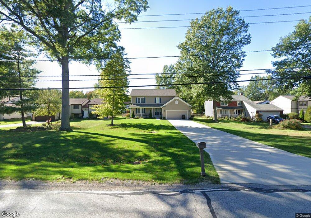
781 Bacon Rd Painesville, OH 44077
Estimated Value: $323,000 - $388,446
About This Home
This home is located at 781 Bacon Rd, Painesville, OH 44077 and is currently estimated at $347,612, approximately $310 per square foot. 781 Bacon Rd is a home located in Lake County with nearby schools including Henry F. Lamuth Middle School, Riverside Junior/Senior High School, and Summit Academy Community School - Painesville.
Ownership History
We collect this data history from publicly available records. To have your information removed, we recommend requesting removal directly through your county’s website.
Purchase Details
Home Financials for this Owner
Home Financials are based on the most recent Mortgage that was taken out on this home.Purchase Details
Home Financials for this Owner
Home Financials are based on the most recent Mortgage that was taken out on this home.Purchase Details
Home Values in the Area
Average Home Value in this Area
Purchase History
We collect this data history from publicly available records. To have your information removed, we recommend requesting removal directly through your county’s website.
| Date | Buyer | Sale Price | Title Company |
|---|---|---|---|
| -- | U S Title Agency Inc | ||
| -- | Cresi | ||
| $78,000 | -- |
Mortgage History
We collect this data history from publicly available records. To have your information removed, we recommend requesting removal directly through your county’s website.
| Date | Status | Borrower | Loan Amount |
|---|---|---|---|
| Open | $100,000 | ||
| Previous Owner | $95,000 |
Tax History
We collect this data history from publicly available records. To have your information removed, we recommend requesting removal directly through your county’s website.
| Year | Tax Paid | Tax Assessment Tax Assessment Total Assessment is a certain percentage of the fair market value that is determined by local assessors to be the total taxable value of land and additions on the property. | Land | Improvement |
|---|---|---|---|---|
| 2025 | $7,393 | $130,940 | $22,190 | $108,750 |
| 2024 | $7,283 | $130,940 | $22,190 | $108,750 |
| 2023 | $7,283 | $95,840 | $17,720 | $78,120 |
| 2022 | $6,152 | $95,840 | $17,720 | $78,120 |
| 2021 | $6,261 | $95,840 | $17,720 | $78,120 |
| 2020 | $6,191 | $83,340 | $15,410 | $67,930 |
| 2019 | $6,115 | $83,340 | $15,410 | $67,930 |
| 2018 | $1,288 | $49,670 | $11,430 | $38,240 |
| 2017 | $3,966 | $49,670 | $11,430 | $38,240 |
| 2016 | $3,553 | $49,670 | $11,430 | $38,240 |
| 2015 | $2,843 | $49,670 | $11,430 | $38,240 |
| 2014 | $2,890 | $49,670 | $11,430 | $38,240 |
| 2013 | $2,824 | $49,670 | $11,430 | $38,240 |
Map
- 2001 Marsh Ln Unit 2001
- 1900 Kirtstone Terrace
- 764 N Creek Dr
- 786 N Creek Dr
- 1594 Slick Rock Dr
- 527 Birkdale Cir
- 1724 Muirfield Ln
- 988 Tradewinds Cove Unit 15
- 783 Outrigger Cove
- 556 Greenside Dr
- 975 Outrigger Cove
- 1397 Searay Cove
- 592 Sand Trap Cir
- 959 Midway Blvd
- 1610 Caddy Ln
- 999 Midway Blvd
- 1006 Robinhood Ave
- 399 Sandtrap Cir
- 44 Fruitland Ave
- 0 Fremont Ave Unit 5152717
- 789 Bacon Rd
- 805 Bacon Rd
- 1760 Sheffield Terrace
- 1750 Sheffield Terrace
- 773 Bacon Rd
- 821 Bacon Rd
- 1781 Sansdan Ct
- 640 Lanark Ln
- 1740 Sheffield Terrace
- 767 Bacon Rd
- 1769 Sheffield Terrace
- 1795 Sansdan Ct
- 829 Bacon Rd
- 650 Lanark Ln
- 630 Lanark Ln
- 1774 Kirtstone Terrace
- 1799 Sansdan Ct
- 759 Bacon Rd
- 1730 Sheffield Terrace
- 1759 Sheffield Terrace
Ask me questions while you tour the home.