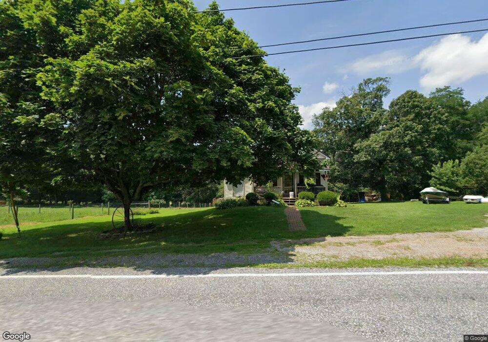
781 Goram Rd Brogue, PA 17309
Estimated Value: $128,000 - $246,000
3
Beds
2
Baths
1,495
Sq Ft
$120/Sq Ft
Est. Value
About This Home
This home is located at 781 Goram Rd, Brogue, PA 17309 and is currently estimated at $179,797, approximately $120 per square foot. 781 Goram Rd is a home located in York County with nearby schools including Clearview Elementary School, Red Lion Area Junior High School, and Red Lion Area Senior High School.
Ownership History
Date
Name
Owned For
Owner Type
Purchase Details
Closed on
Mar 28, 2008
Sold by
Fitzkee Nathan D and Fitzkee Kayla N
Bought by
Donley Chad M and Donley Ashley E
Current Estimated Value
Home Financials for this Owner
Home Financials are based on the most recent Mortgage that was taken out on this home.
Original Mortgage
$103,377
Outstanding Balance
$65,928
Interest Rate
6.1%
Mortgage Type
FHA
Estimated Equity
$113,869
Purchase Details
Closed on
Dec 6, 2006
Sold by
Robinson Betty J
Bought by
Fitzkee Nathan D and Fitzkee Kayla N
Home Financials for this Owner
Home Financials are based on the most recent Mortgage that was taken out on this home.
Original Mortgage
$85,000
Interest Rate
6.18%
Mortgage Type
Purchase Money Mortgage
Create a Home Valuation Report for This Property
The Home Valuation Report is an in-depth analysis detailing your home's value as well as a comparison with similar homes in the area
Home Values in the Area
Average Home Value in this Area
Purchase History
| Date | Buyer | Sale Price | Title Company |
|---|---|---|---|
| Donley Chad M | $105,000 | None Available | |
| Fitzkee Nathan D | $52,000 | None Available |
Source: Public Records
Mortgage History
| Date | Status | Borrower | Loan Amount |
|---|---|---|---|
| Open | Donley Chad M | $103,377 | |
| Previous Owner | Fitzkee Nathan D | $85,000 |
Source: Public Records
Tax History
| Year | Tax Paid | Tax Assessment Tax Assessment Total Assessment is a certain percentage of the fair market value that is determined by local assessors to be the total taxable value of land and additions on the property. | Land | Improvement |
|---|---|---|---|---|
| 2025 | $2,170 | $70,550 | $34,220 | $36,330 |
| 2024 | $2,101 | $70,550 | $34,220 | $36,330 |
| 2023 | $2,101 | $70,550 | $34,220 | $36,330 |
| 2022 | $2,101 | $70,550 | $34,220 | $36,330 |
| 2021 | $2,030 | $70,550 | $34,220 | $36,330 |
| 2020 | $2,030 | $70,550 | $34,220 | $36,330 |
| 2019 | $2,023 | $70,550 | $34,220 | $36,330 |
| 2018 | $2,002 | $70,550 | $34,220 | $36,330 |
| 2017 | $2,002 | $70,550 | $34,220 | $36,330 |
| 2016 | $0 | $70,550 | $34,220 | $36,330 |
| 2015 | -- | $70,550 | $34,220 | $36,330 |
| 2014 | -- | $70,550 | $34,220 | $36,330 |
Source: Public Records
Map
Nearby Homes
- 798 Goram Rd
- 2060 Furnace Rd
- 474 Bridge Valley Rd
- 10400 Enfield Rd
- 621 River Hill Rd
- 17 Sweetwater Dr
- 591 Pequea Blvd
- 186 Shenks Ferry Rd
- 58 Buck Run Rd
- 20 Indian Ln
- 9 Ridge View Dr
- 3 Locust Ln
- 9981 Douglas Rd
- 23 Locust Ln
- 149 Douts Hill Rd
- 9980 Douglas Rd
- 3320 River Rd
- 609 Tucquan Glen Rd
- 0 Pequea Blvd Unit PALA2077958
- 289 River Corner Rd
Your Personal Tour Guide
Ask me questions while you tour the home.