781 Graddy Rd Georgetown, GA 39854
Estimated Value: $121,000 - $210,000
3
Beds
4
Baths
1,064
Sq Ft
$156/Sq Ft
Est. Value
About This Home
This home is located at 781 Graddy Rd, Georgetown, GA 39854 and is currently estimated at $165,500, approximately $155 per square foot. 781 Graddy Rd is a home located in Quitman County with nearby schools including Quitman County Elementary School and Quitman County High School.
Ownership History
Date
Name
Owned For
Owner Type
Purchase Details
Closed on
Jan 7, 2026
Sold by
Georgetown City
Bought by
Bennett Bruce
Current Estimated Value
Purchase Details
Closed on
Feb 3, 2023
Sold by
Bennett Robert Neill
Bought by
Bennett Barbara Renee and Bennett Bruce Douglas
Purchase Details
Closed on
Jun 29, 2022
Sold by
Bennett Bruce Douglas
Bought by
Pate John Everett and Pate Dana T
Purchase Details
Closed on
Mar 2, 2010
Sold by
Swindle Stephanie R
Bought by
Swindle Ashley E
Purchase Details
Closed on
Jan 1, 1976
Bought by
Bennett Robert N
Create a Home Valuation Report for This Property
The Home Valuation Report is an in-depth analysis detailing your home's value as well as a comparison with similar homes in the area
Purchase History
| Date | Buyer | Sale Price | Title Company |
|---|---|---|---|
| Bennett Bruce | -- | -- | |
| Bennett Barbara Renee | -- | -- | |
| Pate John Everett | $180,000 | -- | |
| Swindle Ashley E | -- | -- | |
| Bennett Robert N | -- | -- |
Source: Public Records
Tax History
| Year | Tax Paid | Tax Assessment Tax Assessment Total Assessment is a certain percentage of the fair market value that is determined by local assessors to be the total taxable value of land and additions on the property. | Land | Improvement |
|---|---|---|---|---|
| 2025 | $6,412 | $266,587 | $215,441 | $51,146 |
| 2024 | $4,093 | $191,878 | $139,732 | $52,146 |
| 2023 | $3,487 | $20,318 | $0 | $20,318 |
| 2022 | $2,796 | $226,868 | $221,257 | $5,611 |
| 2021 | $2,631 | $182,869 | $178,754 | $4,115 |
| 2020 | $2,559 | $182,869 | $178,754 | $4,115 |
| 2019 | $2,492 | $182,869 | $178,754 | $4,115 |
| 2018 | $5,854 | $182,869 | $178,754 | $4,115 |
| 2017 | $2,325 | $182,869 | $178,754 | $4,115 |
| 2016 | $2,257 | $182,870 | $178,754 | $4,115 |
| 2015 | -- | $182,870 | $178,754 | $4,115 |
| 2014 | -- | $182,870 | $178,754 | $4,115 |
| 2013 | -- | $182,869 | $178,754 | $4,115 |
Source: Public Records
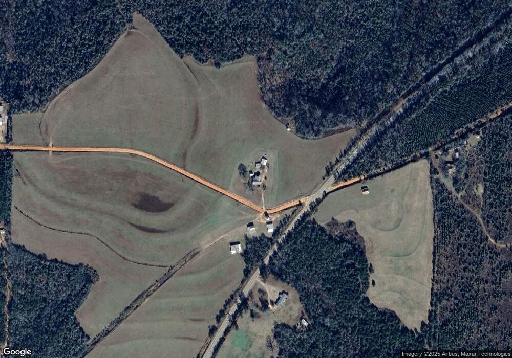
Map
Nearby Homes
- 0 Watson Spur Rd Unit 24072
- 0 Watson Spur Rd Unit 189883
- 0 Watson Spur Rd Unit 20115025
- 0 U S 431 N
- 288 Watson Rd
- 273 Kaigler Rd
- 330 Georgia 27
- 253 Kaigler Rd
- 255 Ga Highway 27
- 128 Jacqueline Dr
- 76 Jacqueline Dr
- 9 Shirley Dr
- 0 Jacqueline Dr
- 915 ACS N Eufaula Ave
- 7+/- Ac N Eufaula Ave
- 0 Sandra Dr Unit 10544581
- 1194 U S Hwy 82-Parcel B
- 2 ACRES N Eufaula Ave
- 11 acres N Eufaula Ave
- 1794 Georgia 50
Your Personal Tour Guide
Ask me questions while you tour the home.