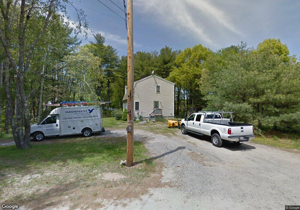
781 Monponsett St Hanson, MA 02341
Estimated Value: $557,000 - $618,000
3
Beds
2
Baths
1,632
Sq Ft
$356/Sq Ft
Est. Value
About This Home
This home is located at 781 Monponsett St, Hanson, MA 02341 and is currently estimated at $580,807, approximately $355 per square foot. 781 Monponsett St is a home located in Plymouth County.
Ownership History
Date
Name
Owned For
Owner Type
Purchase Details
Closed on
Jun 4, 2003
Sold by
Ridley Marianne and Ridley Glen A
Bought by
Levy Tara M and Firth James E
Current Estimated Value
Home Financials for this Owner
Home Financials are based on the most recent Mortgage that was taken out on this home.
Original Mortgage
$212,000
Interest Rate
5.83%
Mortgage Type
Purchase Money Mortgage
Purchase Details
Closed on
Aug 14, 2000
Sold by
Mac Rt and Comeau Marc A
Bought by
Ridley Marianne and Ridley Glen A
Create a Home Valuation Report for This Property
The Home Valuation Report is an in-depth analysis detailing your home's value as well as a comparison with similar homes in the area
Home Values in the Area
Average Home Value in this Area
Purchase History
| Date | Buyer | Sale Price | Title Company |
|---|---|---|---|
| Levy Tara M | $312,000 | -- | |
| Ridley Marianne | $208,900 | -- |
Source: Public Records
Mortgage History
| Date | Status | Borrower | Loan Amount |
|---|---|---|---|
| Open | Ridley Marianne | $173,700 | |
| Closed | Ridley Marianne | $212,000 | |
| Previous Owner | Ridley Marianne | $251,000 | |
| Previous Owner | Ridley Marianne | $233,500 |
Source: Public Records
Tax History
| Year | Tax Paid | Tax Assessment Tax Assessment Total Assessment is a certain percentage of the fair market value that is determined by local assessors to be the total taxable value of land and additions on the property. | Land | Improvement |
|---|---|---|---|---|
| 2025 | $6,167 | $460,900 | $170,900 | $290,000 |
| 2024 | $6,037 | $451,200 | $165,900 | $285,300 |
| 2023 | $5,920 | $417,500 | $165,900 | $251,600 |
| 2022 | $5,775 | $382,700 | $150,800 | $231,900 |
| 2021 | $5,145 | $340,700 | $145,100 | $195,600 |
| 2020 | $82 | $331,500 | $140,100 | $191,400 |
| 2019 | $81 | $299,100 | $122,700 | $176,400 |
| 2018 | $4,588 | $289,800 | $118,000 | $171,800 |
| 2017 | $4,444 | $278,100 | $112,400 | $165,700 |
| 2016 | $4,516 | $272,900 | $112,400 | $160,500 |
| 2015 | $4,276 | $268,600 | $112,400 | $156,200 |
Source: Public Records
Map
Nearby Homes
- 115 Waltham St
- 0 Union Park St
- 102 Leon Ct
- 0 Thompson St
- 22 Ocean Ave
- 143 Plymouth St
- 15 Ocean Ave
- 534 Twin Lakes Dr
- 561 Twin Lakes Dr
- 553 Monponsett St
- 25 Lawrence Rd
- 10 Mattakeesett Ave
- 102 Twin Lakes Dr
- 37 Annawon Dr
- 51 Oletree Rd
- 290 School St
- 8 10th Ave
- 11 Carol Ave
- 343 Monponsett St
- 1054 Main St
- 755 Monponsett St
- 745 Monponsett St
- 745 Monponsett St Unit None
- 745 Monponsett St
- 793 Monponsett St
- 739 Monponsett St
- 733 Monponsett St
- 724 Monponsett St
- 2 Woodbine Ave
- 18 Briggs St
- 9 Ferris St
- 7 Woodbine Ave
- 48 Briggs St
- 18 Ferris St
- 842 Monponsett St
- 21 Ferris St
- 25 Woodbine Ave
- 647 Monponsett St
- 11 Woodbine Ave
- 79 Hawthorne St
Your Personal Tour Guide
Ask me questions while you tour the home.