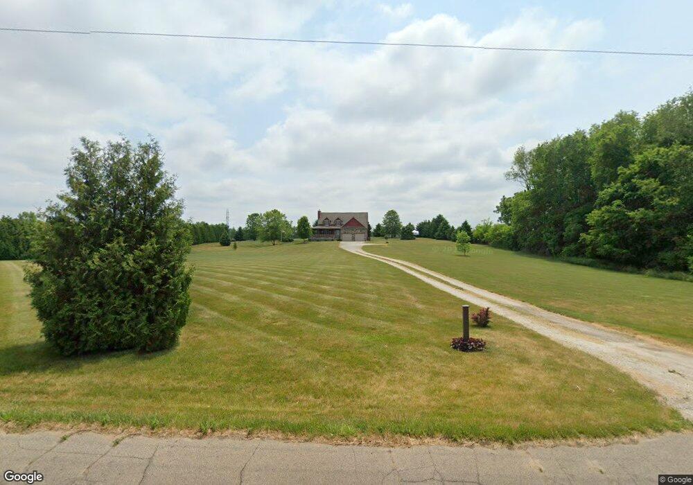
7816 E 400 N Rolling Prairie, IN 46371
Estimated Value: $440,524 - $617,000
3
Beds
3
Baths
2,378
Sq Ft
$214/Sq Ft
Est. Value
About This Home
This home is located at 7816 E 400 N, Rolling Prairie, IN 46371 and is currently estimated at $508,881, approximately $213 per square foot. 7816 E 400 N is a home located in LaPorte County with nearby schools including New Prairie High School and Sacred Heart Apostolic School.
Ownership History
Date
Name
Owned For
Owner Type
Purchase Details
Closed on
Nov 13, 2012
Sold by
Sherrick Amanda M
Bought by
Sherrick John M
Current Estimated Value
Create a Home Valuation Report for This Property
The Home Valuation Report is an in-depth analysis detailing your home's value as well as a comparison with similar homes in the area
Purchase History
| Date | Buyer | Sale Price | Title Company |
|---|---|---|---|
| Sherrick John M | -- | None Available |
Source: Public Records
Tax History
| Year | Tax Paid | Tax Assessment Tax Assessment Total Assessment is a certain percentage of the fair market value that is determined by local assessors to be the total taxable value of land and additions on the property. | Land | Improvement |
|---|---|---|---|---|
| 2025 | $3,219 | $302,800 | $55,600 | $247,200 |
| 2024 | $2,848 | $296,000 | $55,600 | $240,400 |
| 2023 | $2,769 | $262,600 | $55,600 | $207,000 |
| 2022 | $2,803 | $255,400 | $51,800 | $203,600 |
| 2021 | $2,632 | $238,000 | $51,800 | $186,200 |
| 2020 | $2,674 | $238,000 | $51,800 | $186,200 |
| 2019 | $2,798 | $244,200 | $55,600 | $188,600 |
| 2018 | $2,384 | $216,300 | $42,000 | $174,300 |
| 2017 | $2,137 | $197,700 | $37,500 | $160,200 |
| 2016 | $2,428 | $205,800 | $37,500 | $168,300 |
| 2014 | $2,507 | $242,400 | $28,000 | $214,400 |
Source: Public Records
Map
Nearby Homes
- 8416 E 400 N
- 8256 E State Road 2
- 7674 Potato Hole Ct
- 6361 E State Road 2
- 3812 N 600 E
- 0 E Chicago Rd Unit NRA832986
- 55554 County Line Rd
- 33820 Early Rd
- 33810 Early Rd
- 33790 Early Rd
- 33780 Early Rd
- 33770 Early Rd
- 33760 Early Rd
- 33800 Early Rd
- 33750 Early Rd
- 33740 Early Rd
- 67 Acres E 300 N
- 33791 Early Rd
- 33883 Sumerset Ln
- 55355 Suncrest Dr
Your Personal Tour Guide
Ask me questions while you tour the home.