785 Settlers Trace Ossian, IN 46777
Estimated Value: $288,000
3
Beds
3
Baths
1,811
Sq Ft
$159/Sq Ft
Est. Value
About This Home
This home is located at 785 Settlers Trace, Ossian, IN 46777 and is currently priced at $288,000, approximately $159 per square foot. 785 Settlers Trace is a home located in Wells County with nearby schools including Norwell High School and Bethlehem Lutheran School.
Ownership History
Date
Name
Owned For
Owner Type
Purchase Details
Closed on
Sep 15, 2008
Sold by
Fiechter Dean A and Fiechter Cynthia A
Bought by
Wyatt Raymond D and Joan Wyatt C
Current Estimated Value
Purchase Details
Closed on
Apr 17, 2007
Sold by
Sink Kirby E and Sink Melissa A
Bought by
Fiechter Dean A and Fiechter Cynthia A
Create a Home Valuation Report for This Property
The Home Valuation Report is an in-depth analysis detailing your home's value as well as a comparison with similar homes in the area
Home Values in the Area
Average Home Value in this Area
Purchase History
| Date | Buyer | Sale Price | Title Company |
|---|---|---|---|
| Wyatt Raymond D | $41,150 | Wells County Land Title Co I | |
| Wyatt Raymond D | -- | None Available | |
| Fiechter Dean A | $42,195 | Landamerica Lawyers Title |
Source: Public Records
Tax History
| Year | Tax Paid | Tax Assessment Tax Assessment Total Assessment is a certain percentage of the fair market value that is determined by local assessors to be the total taxable value of land and additions on the property. | Land | Improvement |
|---|---|---|---|---|
| 2022 | $1,008 | $215,200 | $38,000 | $177,200 |
| 2021 | $1,008 | $215,200 | $38,000 | $177,200 |
| 2020 | $778 | $200,100 | $38,000 | $162,100 |
| 2019 | $810 | $198,400 | $35,900 | $162,500 |
| 2018 | $662 | $180,300 | $35,600 | $144,700 |
| 2017 | $525 | $180,400 | $35,600 | $144,800 |
| 2016 | $519 | $180,400 | $35,600 | $144,800 |
| 2014 | $543 | $176,100 | $35,600 | $140,500 |
| 2013 | $531 | $183,200 | $39,700 | $143,500 |
Source: Public Records
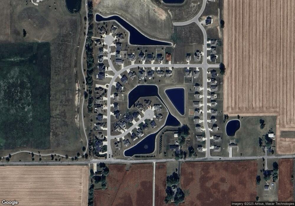
Map
Nearby Homes
- 775 Settlers Trace
- 795 Settlers Trace Unit 9
- 765 Settlers Trace Unit 12
- 784 Settlers Trace Unit 8
- 784 Settlers Trace
- 774 Settlers Trace Unit 7
- 764 Settlers Trace Unit 6
- 755 Settlers Trace Unit 13
- 611 Little River Trace
- 611 Little River Trace Unit 23
- 621 Little River Trace Unit 22
- 601 Little River Trace
- 601 Little River Trace Unit 24
- 681 Little River Trace Unit 17
- 671 Little River Trace Unit 18
- 671 Little River Trace
- 631 Little River Trace Unit 21
- 631 Little River Trace
- 754 Settlers Trace Unit 5
- 754 Settlers Trace
Your Personal Tour Guide
Ask me questions while you tour the home.