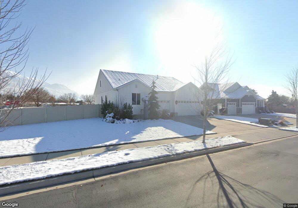
786 N 540 E Unit 4 American Fork, UT 84003
Estimated Value: $741,000 - $1,057,000
3
Beds
2
Baths
4,658
Sq Ft
$194/Sq Ft
Est. Value
About This Home
This home is located at 786 N 540 E Unit 4, American Fork, UT 84003 and is currently estimated at $901,718, approximately $193 per square foot. 786 N 540 E Unit 4 is a home located in Utah County with nearby schools including Forbes Elementary School, American Fork Junior High School, and American Fork High School.
Ownership History
Date
Name
Owned For
Owner Type
Purchase Details
Closed on
Mar 2, 2016
Sold by
Woodside Homes Of Utah Llc
Bought by
Nielson Jacob and Nielson Kelsi
Current Estimated Value
Home Financials for this Owner
Home Financials are based on the most recent Mortgage that was taken out on this home.
Original Mortgage
$380,000
Outstanding Balance
$302,358
Interest Rate
3.81%
Mortgage Type
New Conventional
Estimated Equity
$599,360
Create a Home Valuation Report for This Property
The Home Valuation Report is an in-depth analysis detailing your home's value as well as a comparison with similar homes in the area
Home Values in the Area
Average Home Value in this Area
Purchase History
| Date | Buyer | Sale Price | Title Company |
|---|---|---|---|
| Nielson Jacob | -- | Us Title Insurance Agency |
Source: Public Records
Mortgage History
| Date | Status | Borrower | Loan Amount |
|---|---|---|---|
| Open | Nielson Jacob | $380,000 |
Source: Public Records
Tax History
| Year | Tax Paid | Tax Assessment Tax Assessment Total Assessment is a certain percentage of the fair market value that is determined by local assessors to be the total taxable value of land and additions on the property. | Land | Improvement |
|---|---|---|---|---|
| 2025 | $4,018 | $423,005 | -- | -- |
| 2024 | $4,018 | $446,490 | $0 | $0 |
| 2023 | $4,024 | $473,990 | $0 | $0 |
| 2022 | $3,882 | $451,275 | $0 | $0 |
| 2021 | $2,952 | $536,100 | $149,700 | $386,400 |
| 2020 | $2,837 | $499,700 | $138,600 | $361,100 |
| 2019 | $2,444 | $445,100 | $131,100 | $314,000 |
| 2018 | $2,485 | $432,800 | $131,100 | $301,700 |
| 2017 | $2,442 | $229,515 | $0 | $0 |
| 2016 | $2,628 | $229,515 | $0 | $0 |
| 2015 | $2,519 | $208,780 | $0 | $0 |
Source: Public Records
Map
Nearby Homes
- 786 N 540 E
- 786 N 540 E Unit LOT 4
- 764 N 540 E Unit 3
- 184 N 550 St E
- 186 N 550 St E
- 182 N 550 St E
- 181 N 550 St E
- 178 N 550 St E
- 808 N 540 E
- 779 N 540 E Unit 40
- 779 N 540 E
- 817 N 540 E
- 759 N 540 E Unit 41
- 759 N 540 E Unit 28
- 759 N 540 E
- 822 N 540 E
- 526 E 800 N Unit 39
- 827 N 540 E
- 816 N 520 E
- 528 E 750 N
Your Personal Tour Guide
Ask me questions while you tour the home.