789 Maple St Middleport, OH 45760
Estimated Value: $79,301 - $127,000
3
Beds
2
Baths
1,360
Sq Ft
$75/Sq Ft
Est. Value
About This Home
This home is located at 789 Maple St, Middleport, OH 45760 and is currently estimated at $101,325, approximately $74 per square foot. 789 Maple St is a home located in Meigs County with nearby schools including Meigs Primary School, Meigs Intermediate School, and Meigs Middle School.
Ownership History
Date
Name
Owned For
Owner Type
Purchase Details
Closed on
Apr 29, 2016
Sold by
Smith Racquel J and Miller Charles W
Bought by
Miller Racquel J and Miller Charles W
Current Estimated Value
Purchase Details
Closed on
May 3, 2013
Sold by
Estate Of Joseph P Smith
Bought by
Smith Racquel J
Purchase Details
Closed on
Jun 1, 1995
Bought by
Miller Charles W Jr Miller Racquel
Create a Home Valuation Report for This Property
The Home Valuation Report is an in-depth analysis detailing your home's value as well as a comparison with similar homes in the area
Purchase History
| Date | Buyer | Sale Price | Title Company |
|---|---|---|---|
| Miller Racquel J | -- | None Available | |
| Smith Racquel J | -- | None Available | |
| Miller Charles W Jr Miller Racquel | $32,000 | -- |
Source: Public Records
Tax History
| Year | Tax Paid | Tax Assessment Tax Assessment Total Assessment is a certain percentage of the fair market value that is determined by local assessors to be the total taxable value of land and additions on the property. | Land | Improvement |
|---|---|---|---|---|
| 2025 | $839 | $22,090 | $3,750 | $18,340 |
| 2024 | $760 | $19,180 | $3,230 | $15,950 |
| 2023 | $760 | $19,180 | $3,230 | $15,950 |
| 2022 | $737 | $19,180 | $3,230 | $15,950 |
| 2021 | $712 | $16,180 | $2,920 | $13,260 |
| 2020 | $717 | $16,180 | $2,920 | $13,260 |
| 2019 | $709 | $16,180 | $2,920 | $13,260 |
| 2018 | $608 | $14,210 | $1,940 | $12,270 |
| 2017 | $608 | $14,210 | $1,940 | $12,270 |
| 2016 | $617 | $14,210 | $1,940 | $12,270 |
| 2014 | $556 | $14,010 | $1,750 | $12,260 |
| 2013 | $556 | $14,010 | $1,750 | $12,260 |
Source: Public Records
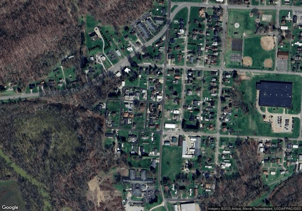
Map
Nearby Homes
- 70 Riverview Place
- 771 Second
- 586 Lincoln St
- 553 Fourth
- 624 S 2nd Ave
- 614 2nd
- 463 S 4th Ave
- 391 S 5th Ave
- 253 S 5th Ave
- 453 S Front Ave
- 691 Brownell Ave
- 306 S 2nd Ave
- 507 Mill St
- 691 2nd St
- 31365 T-174
- 109 W Brown St
- 148 Lincoln Hill
- 32164 Avenue Bridge Rd
- N/A Ohio River Rd
- 0 Storys Run Rd Unit 2434648
Your Personal Tour Guide
Ask me questions while you tour the home.