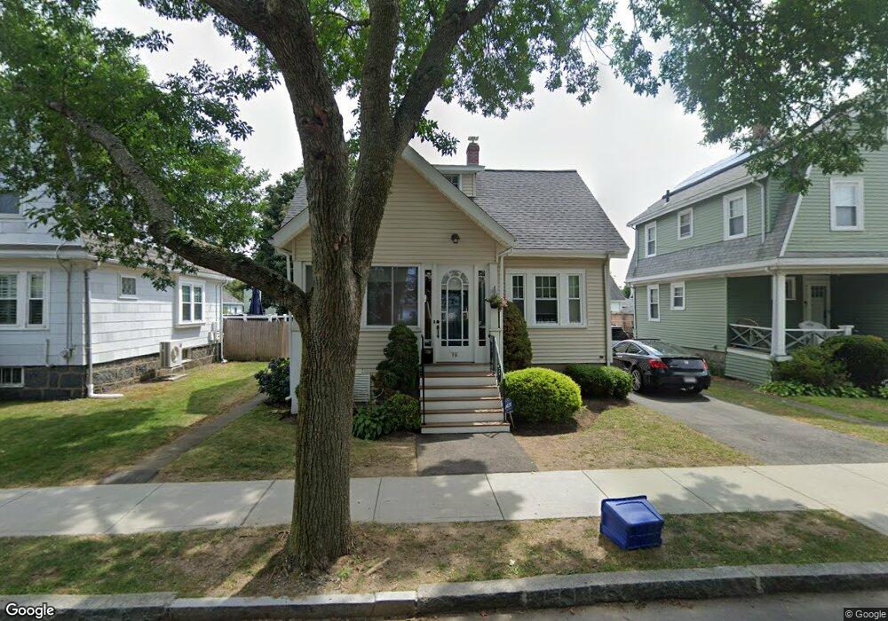
79 Baxter Ave Quincy, MA 02169
Quincy Point NeighborhoodEstimated Value: $606,000 - $725,000
3
Beds
2
Baths
1,512
Sq Ft
$445/Sq Ft
Est. Value
About This Home
This home is located at 79 Baxter Ave, Quincy, MA 02169 and is currently estimated at $672,644, approximately $444 per square foot. 79 Baxter Ave is a home located in Norfolk County with nearby schools including Point Webster Middle School, Clifford H. Marshall Elementary School, and Quincy High School.
Ownership History
Date
Name
Owned For
Owner Type
Purchase Details
Closed on
Apr 23, 2025
Sold by
Mastico Robert A
Bought by
79 Baxter Ave Rt and Mastico
Current Estimated Value
Purchase Details
Closed on
Oct 3, 2011
Sold by
Mastico Robert A
Bought by
Mastico Nancy J
Purchase Details
Closed on
May 4, 2005
Sold by
Mastico Robert A
Bought by
Kearns Karen J and Mastico Robert A
Create a Home Valuation Report for This Property
The Home Valuation Report is an in-depth analysis detailing your home's value as well as a comparison with similar homes in the area
Home Values in the Area
Average Home Value in this Area
Purchase History
We collect this data history from publicly available records. To have your information removed, we recommend requesting removal directly through your county’s website.
| Date | Buyer | Sale Price | Title Company |
|---|---|---|---|
| 79 Baxter Ave Rt | -- | None Available | |
| 79 Baxter Ave Rt | -- | None Available | |
| Mastico Nancy J | -- | -- | |
| Kearns Karen J | -- | -- | |
| Mastico Robert A | -- | -- | |
| Mastico Nancy J | -- | -- | |
| Mastico Robert A | -- | -- |
Source: Public Records
Tax History
| Year | Tax Paid | Tax Assessment Tax Assessment Total Assessment is a certain percentage of the fair market value that is determined by local assessors to be the total taxable value of land and additions on the property. | Land | Improvement |
|---|---|---|---|---|
| 2025 | $6,457 | $560,000 | $259,700 | $300,300 |
| 2024 | $6,143 | $545,100 | $247,400 | $297,700 |
| 2023 | $5,602 | $503,300 | $224,900 | $278,400 |
| 2022 | $5,682 | $474,300 | $204,400 | $269,900 |
| 2021 | $5,598 | $461,100 | $204,400 | $256,700 |
| 2020 | $5,463 | $439,500 | $192,900 | $246,600 |
| 2019 | $4,974 | $396,300 | $178,600 | $217,700 |
| 2018 | $4,957 | $371,600 | $162,300 | $209,300 |
| 2017 | $4,713 | $332,600 | $154,600 | $178,000 |
| 2016 | $4,400 | $306,400 | $140,500 | $165,900 |
| 2015 | $4,167 | $285,400 | $132,600 | $152,800 |
| 2014 | $3,933 | $264,700 | $132,600 | $132,100 |
Source: Public Records
Map
Nearby Homes
- 93 Baxter Ave
- 200 Cove Way Unit 113
- 200 Cove Way Unit 909
- 100 Cove Way Unit 409
- 781 Southern Artery
- 585 Washington St Unit model-1
- 585 Washington St Unit 301
- 585 Washington St Unit 202
- 27 6th Ave
- 7-9 Kittredge Ave
- 82 Edison St Unit 82
- 69 6th Ave
- 388 Washington St Unit 401
- 388 Washington St Unit 405
- 161 Sumner St Unit 3
- 161 Sumner St Unit 2
- 158 Sumner St Unit 1
- 90 Lawn Ave
- 30 Arnold St
- 28 Arnold St
- 85 Baxter Ave
- 77 Baxter Ave
- 65 Baxter Ave
- 20 Harrison St
- 20 Harrison St Unit 22
- 18 Harrison St
- 22 Harrison St
- 26 Harrison St
- 26 Harrison St Unit 1
- 16 Harrison St
- 28 Harrison St
- 78 Baxter Ave
- 80 Baxter Ave
- 12 Harrison St
- 8 Harrison St
- 10 Harrison St
- 30 Harrison St
- 30 Harrison St Unit 32
- 30 Harrison St Unit 1
- 58 Shea St
Your Personal Tour Guide
Ask me questions while you tour the home.