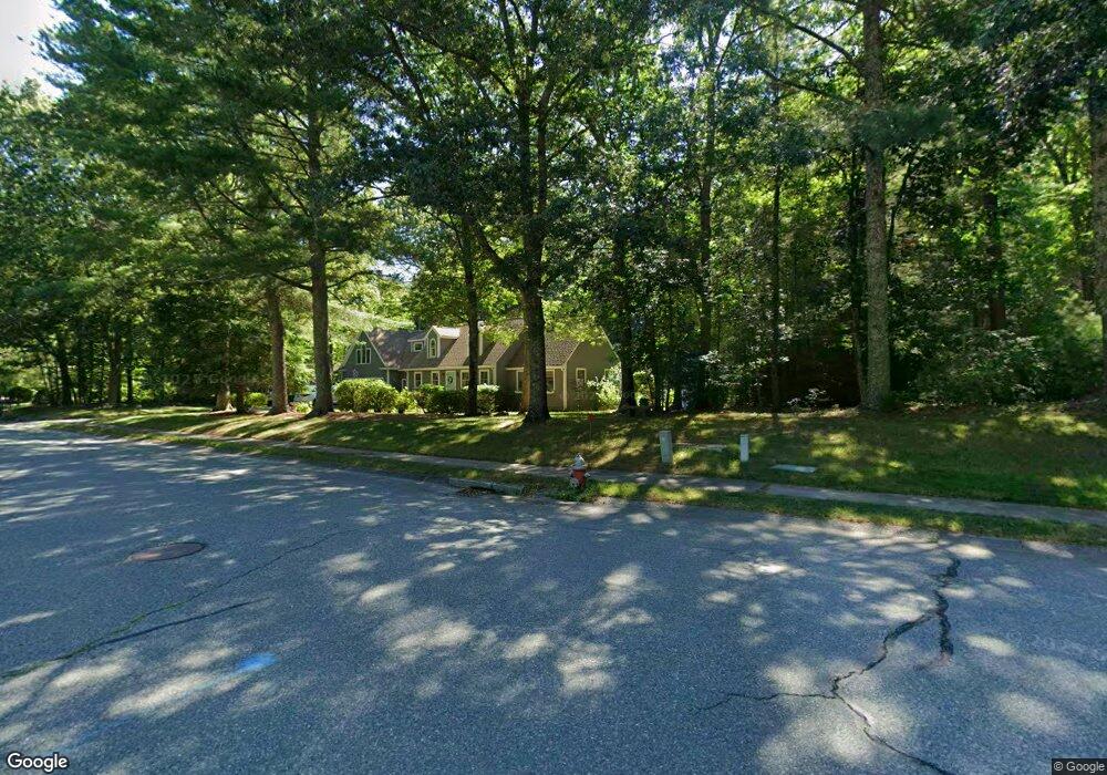
79 Juniper Ln Pembroke, MA 02359
Estimated Value: $800,000 - $888,000
3
Beds
2
Baths
1,835
Sq Ft
$456/Sq Ft
Est. Value
About This Home
This home is located at 79 Juniper Ln, Pembroke, MA 02359 and is currently estimated at $836,922, approximately $456 per square foot. 79 Juniper Ln is a home located in Plymouth County with nearby schools including Pembroke High School, Cadence Academy Preschool - Hanover, and Cardinal Cushing Centers.
Ownership History
Date
Name
Owned For
Owner Type
Purchase Details
Closed on
Oct 17, 2024
Sold by
Rossi Paul J and Rossi Brenda E
Bought by
79 Juniper Ln Rt and Rosse
Current Estimated Value
Purchase Details
Closed on
May 30, 2000
Sold by
Bowman Jeffrey S and Bowman Heidi Hoeckel
Bought by
Rossi Paul J and Rossi Brenda E
Purchase Details
Closed on
Feb 29, 1996
Sold by
Cunningham Craig R and Cunningham Beth A
Bought by
Bowman Jeffrey S and Hoeckel Heidi P
Purchase Details
Closed on
Oct 31, 1989
Sold by
Lamontagne Robt K
Bought by
Cunningham Craig R
Create a Home Valuation Report for This Property
The Home Valuation Report is an in-depth analysis detailing your home's value as well as a comparison with similar homes in the area
Purchase History
| Date | Buyer | Sale Price | Title Company |
|---|---|---|---|
| 79 Juniper Ln Rt | -- | None Available | |
| 79 Juniper Ln Rt | -- | None Available | |
| Rossi Paul J | $252,600 | -- | |
| Bowman Jeffrey S | $167,000 | -- | |
| Rossi Paul J | $252,600 | -- | |
| Bowman Jeffrey S | $167,000 | -- | |
| Cunningham Craig R | $165,000 | -- |
Source: Public Records
Mortgage History
| Date | Status | Borrower | Loan Amount |
|---|---|---|---|
| Previous Owner | Cunningham Craig R | $341,000 | |
| Previous Owner | Cunningham Craig R | $340,000 |
Source: Public Records
Tax History
| Year | Tax Paid | Tax Assessment Tax Assessment Total Assessment is a certain percentage of the fair market value that is determined by local assessors to be the total taxable value of land and additions on the property. | Land | Improvement |
|---|---|---|---|---|
| 2025 | $8,848 | $736,100 | $325,200 | $410,900 |
| 2024 | $8,766 | $728,700 | $320,000 | $408,700 |
| 2023 | $8,466 | $665,600 | $295,200 | $370,400 |
| 2022 | $7,993 | $564,900 | $235,200 | $329,700 |
| 2021 | $7,882 | $540,600 | $230,000 | $310,600 |
| 2020 | $7,854 | $542,000 | $230,000 | $312,000 |
| 2019 | $7,642 | $523,400 | $220,000 | $303,400 |
| 2018 | $7,522 | $505,200 | $220,000 | $285,200 |
| 2017 | $7,169 | $474,800 | $205,200 | $269,600 |
| 2016 | $7,026 | $460,400 | $195,200 | $265,200 |
| 2015 | $6,661 | $451,900 | $185,200 | $266,700 |
Source: Public Records
Map
Nearby Homes
- 24 Reservoir Rd
- 58 Bagnell Dr Unit 58
- 593 Washington St Unit A
- 523 Washington St Unit C6
- 99 Old Washington St
- 22 Barker Square Dr Unit 22
- 8 Quaker Cir
- 31 Hillcrest Dr
- 246 High St
- 14 Baltzer Dr
- 615 Keene St
- 269 Washington St Unit A1
- 77 Old Cart Path Ln Unit Lot 4
- 261 Washington St
- 78 Old Cart Path Ln Unit Lot 3
- 72 Old Cart Path Ln Unit Lot 2
- 26 Blake Ave
- 172 Washington St
- 676 Franklin St
- 2 Secret Pond Way Unit 35
Your Personal Tour Guide
Ask me questions while you tour the home.