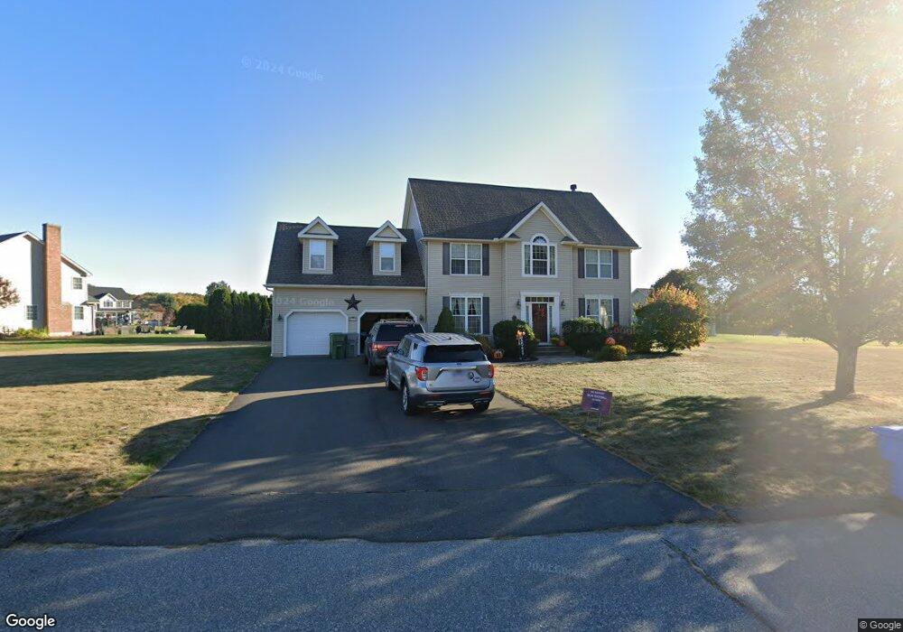
79 Owens Way Bristol, CT 06010
North Bristol NeighborhoodEstimated Value: $547,000 - $740,000
3
Beds
3
Baths
2,320
Sq Ft
$258/Sq Ft
Est. Value
About This Home
This home is located at 79 Owens Way, Bristol, CT 06010 and is currently estimated at $597,805, approximately $257 per square foot. 79 Owens Way is a home located in Hartford County with nearby schools including West Bristol Sch, Bristol Central High School, and St. Joseph School.
Ownership History
Date
Name
Owned For
Owner Type
Purchase Details
Closed on
Jan 30, 2013
Sold by
Hunter John H and Hunter Veronica A
Bought by
Ratte Keith L and Ratte Deborah
Current Estimated Value
Home Financials for this Owner
Home Financials are based on the most recent Mortgage that was taken out on this home.
Original Mortgage
$308,560
Outstanding Balance
$215,701
Interest Rate
3.41%
Estimated Equity
$382,104
Purchase Details
Closed on
Jun 28, 2004
Sold by
Dias 3Rd Joseph
Bought by
Hunter John H and Hunter Veronica A
Home Financials for this Owner
Home Financials are based on the most recent Mortgage that was taken out on this home.
Original Mortgage
$272,000
Interest Rate
6.32%
Purchase Details
Closed on
Jun 6, 2003
Sold by
Plourde Todo R
Bought by
Dias Joseph
Home Financials for this Owner
Home Financials are based on the most recent Mortgage that was taken out on this home.
Original Mortgage
$299,720
Interest Rate
5.83%
Create a Home Valuation Report for This Property
The Home Valuation Report is an in-depth analysis detailing your home's value as well as a comparison with similar homes in the area
Home Values in the Area
Average Home Value in this Area
Purchase History
| Date | Buyer | Sale Price | Title Company |
|---|---|---|---|
| Ratte Keith L | $320,000 | -- | |
| Hunter John H | $365,000 | -- | |
| Dias Joseph | $335,000 | -- |
Source: Public Records
Mortgage History
| Date | Status | Borrower | Loan Amount |
|---|---|---|---|
| Open | Dias Joseph | $308,560 | |
| Previous Owner | Dias Joseph | $272,000 | |
| Previous Owner | Dias Joseph | $299,720 | |
| Previous Owner | Dias Joseph | $120,000 |
Source: Public Records
Tax History
| Year | Tax Paid | Tax Assessment Tax Assessment Total Assessment is a certain percentage of the fair market value that is determined by local assessors to be the total taxable value of land and additions on the property. | Land | Improvement |
|---|---|---|---|---|
| 2025 | $9,790 | $290,080 | $56,630 | $233,450 |
| 2024 | $9,239 | $290,080 | $56,630 | $233,450 |
| 2023 | $8,804 | $290,080 | $56,630 | $233,450 |
| 2022 | $8,086 | $210,840 | $43,680 | $167,160 |
| 2021 | $8,086 | $210,840 | $43,680 | $167,160 |
| 2020 | $8,086 | $210,840 | $43,680 | $167,160 |
| 2019 | $8,022 | $210,840 | $43,680 | $167,160 |
| 2018 | $7,776 | $210,840 | $43,680 | $167,160 |
| 2017 | $7,748 | $215,040 | $62,370 | $152,670 |
| 2016 | $7,748 | $215,040 | $62,370 | $152,670 |
| 2015 | $7,443 | $215,040 | $62,370 | $152,670 |
| 2014 | $7,443 | $215,040 | $62,370 | $152,670 |
Source: Public Records
Map
Nearby Homes
- 62 (Lot 13-1) James P Casey Rd
- 0 Hart St Unit 170255530
- 38 Eastwood Rd
- 1970 Perkins St
- 95 Birge Rd
- 439 James P Casey Rd
- 35 Lardner Rd
- 79 N Pond St
- 90 Battle St
- 35 James P Casey Rd
- 380 Burlington Ave
- 40 Matthews St Unit LOT 43
- 40 Matthews St Unit 30
- 440 Hill St
- 52 Irving St Unit 2
- 18 Putnam St
- 22 Ingraham St
- 19 Woodside Way
- 0 Fairlawn St
- 74 Nancy Rd
Your Personal Tour Guide
Ask me questions while you tour the home.