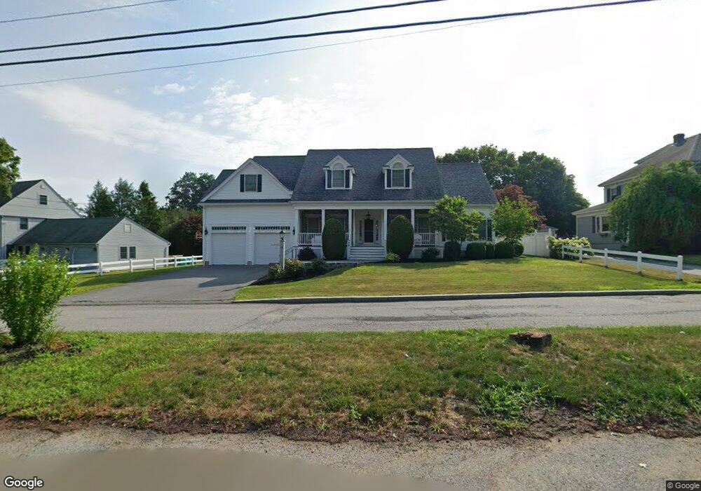
79 Raven Rd Lowell, MA 01852
Belvidere NeighborhoodEstimated Value: $888,000 - $1,142,000
About This Home
This home is located at 79 Raven Rd, Lowell, MA 01852 and is currently estimated at $994,329, approximately $303 per square foot. 79 Raven Rd is a home located in Middlesex County with nearby schools including Moody Elementary School, Abraham Lincoln Elementary School, and Greenhalge Elementary School.
Ownership History
We collect this data history from publicly available records. To have your information removed, we recommend requesting removal directly through your county’s website.
Purchase Details
Purchase Details
Home Values in the Area
Average Home Value in this Area
Purchase History
We collect this data history from publicly available records. To have your information removed, we recommend requesting removal directly through your county’s website.
| Date | Buyer | Sale Price | Title Company |
|---|---|---|---|
| -- | None Available | ||
| $200,000 | -- |
Mortgage History
We collect this data history from publicly available records. To have your information removed, we recommend requesting removal directly through your county’s website.
| Date | Status | Borrower | Loan Amount |
|---|---|---|---|
| Previous Owner | $75,000 |
Tax History
We collect this data history from publicly available records. To have your information removed, we recommend requesting removal directly through your county’s website.
| Year | Tax Paid | Tax Assessment Tax Assessment Total Assessment is a certain percentage of the fair market value that is determined by local assessors to be the total taxable value of land and additions on the property. | Land | Improvement |
|---|---|---|---|---|
| 2025 | $11,271 | $981,800 | $249,600 | $732,200 |
| 2024 | $11,054 | $928,100 | $233,400 | $694,700 |
| 2023 | $10,976 | $883,700 | $202,900 | $680,800 |
| 2022 | $10,572 | $833,100 | $184,500 | $648,600 |
| 2021 | $9,986 | $741,900 | $160,400 | $581,500 |
| 2020 | $9,813 | $734,500 | $160,400 | $574,100 |
| 2019 | $10,281 | $732,300 | $159,600 | $572,700 |
| 2018 | $9,893 | $687,500 | $152,000 | $535,500 |
| 2017 | $9,398 | $629,900 | $141,100 | $488,800 |
| 2016 | $8,784 | $579,400 | $129,800 | $449,600 |
| 2015 | $8,793 | $568,000 | $129,800 | $438,200 |
| 2013 | $7,588 | $505,500 | $143,200 | $362,300 |
Map
- 46 Fetherston Ave
- 35 Barasford Ave
- 160 Burnham Rd
- 21 Guild St
- 187 Havilah St
- 633 E Merrimack St
- 631 E Merrimack St
- 100 Merrimack Ave Unit 117
- 50 Wentworth Ave
- 46 River Rd Unit 225
- 10 Haverhill St
- 87 Merrimack Meadows Ln
- 62 Parkview Ave
- 558 E Merrimack St Unit 34
- 52 Christian St
- 251 Butman Rd
- 82 Christian St
- 192 Wentworth Ave
- 81 Reservoir St
- 105 Starr Ave
Ask me questions while you tour the home.