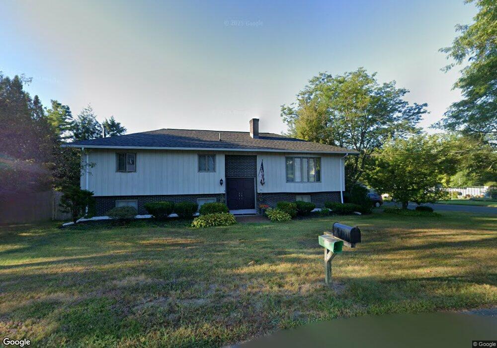
79 Renee Dr Dalton, MA 01226
Estimated Value: $371,000 - $451,000
3
Beds
2
Baths
1,972
Sq Ft
$204/Sq Ft
Est. Value
About This Home
This home is located at 79 Renee Dr, Dalton, MA 01226 and is currently estimated at $402,596, approximately $204 per square foot. 79 Renee Dr is a home located in Berkshire County with nearby schools including Wahconah Regional High School and St. Agnes Academy.
Create a Home Valuation Report for This Property
The Home Valuation Report is an in-depth analysis detailing your home's value as well as a comparison with similar homes in the area
Home Values in the Area
Average Home Value in this Area
Tax History
| Year | Tax Paid | Tax Assessment Tax Assessment Total Assessment is a certain percentage of the fair market value that is determined by local assessors to be the total taxable value of land and additions on the property. | Land | Improvement |
|---|---|---|---|---|
| 2025 | $6,637 | $366,100 | $67,600 | $298,500 |
| 2024 | $6,412 | $352,300 | $62,900 | $289,400 |
| 2023 | $5,882 | $305,700 | $58,700 | $247,000 |
| 2022 | $5,394 | $260,100 | $58,700 | $201,400 |
| 2021 | $4,590 | $213,400 | $55,400 | $158,000 |
| 2020 | $4,159 | $205,000 | $55,400 | $149,600 |
| 2019 | $909 | $206,400 | $58,500 | $147,900 |
| 2018 | $3,998 | $200,800 | $58,500 | $142,300 |
| 2017 | $3,990 | $200,800 | $58,500 | $142,300 |
| 2016 | $3,942 | $200,800 | $58,500 | $142,300 |
| 2015 | $3,802 | $195,300 | $53,600 | $141,700 |
Source: Public Records
Map
Nearby Homes
- 319 North St
- 60 Franklin St
- 20 Prospect St
- 188 North St
- 165 High St
- 60 North St Unit 7
- 70 Lake St Unit B
- 32 Marcella Way
- 750 Main St
- 0 Crane Ave Suite 2 -- Unit 248430
- 0 Crane Ave Suite 1 -- Unit 248429
- 1030 Main St
- 1157 Main St
- 18 Chestnut St
- 65 Johnson Rd
- 218 Johnson Rd
- 190 Fox Rd
- 0 Crane Ave
- 149 Kittredge Rd
- 121 Kittredge Rd
Your Personal Tour Guide
Ask me questions while you tour the home.