79 Spring Pond Dr Ossining, NY 10562
North Ossining NeighborhoodEstimated Value: $557,366 - $823,000
About This Home
This home is located at 79 Spring Pond Dr, Ossining, NY 10562 and is currently estimated at $703,842, approximately $251 per square foot. 79 Spring Pond Dr is a home located in Westchester County with nearby schools including Park School, Brookside Elementary School, and Roosevelt Elementary School.
Ownership History
We collect this data history from publicly available records. To have your information removed, we recommend requesting removal directly through your county’s website.
Purchase Details
Home Financials for this Owner
Home Financials are based on the most recent Mortgage that was taken out on this home.Purchase Details
Home Financials for this Owner
Home Financials are based on the most recent Mortgage that was taken out on this home.Purchase Details
Home Values in the Area
Average Home Value in this Area
Purchase History
We collect this data history from publicly available records. To have your information removed, we recommend requesting removal directly through your county’s website.
| Date | Buyer | Sale Price | Title Company |
|---|---|---|---|
| $543,000 | The Judicial Title Insurance | ||
| $545,000 | None Available | ||
| $375,000 | Chicago Title Insurance Co |
Mortgage History
We collect this data history from publicly available records. To have your information removed, we recommend requesting removal directly through your county’s website.
| Date | Status | Borrower | Loan Amount |
|---|---|---|---|
| Open | $434,400 | ||
| Previous Owner | $345,000 |
Tax History
We collect this data history from publicly available records. To have your information removed, we recommend requesting removal directly through your county’s website.
| Year | Tax Paid | Tax Assessment Tax Assessment Total Assessment is a certain percentage of the fair market value that is determined by local assessors to be the total taxable value of land and additions on the property. | Land | Improvement |
|---|---|---|---|---|
| 2025 | -- | $291,700 | $105,200 | $186,500 |
| 2024 | $4,510 | $286,200 | $105,200 | $181,000 |
| 2023 | $7,484 | $277,800 | $105,200 | $172,600 |
| 2022 | $8,444 | $277,800 | $105,200 | $172,600 |
| 2021 | $8,619 | $289,400 | $105,200 | $184,200 |
| 2020 | $8,427 | $281,400 | $105,200 | $176,200 |
| 2019 | $8,207 | $269,500 | $105,200 | $164,300 |
| 2018 | $7,869 | $269,500 | $105,200 | $164,300 |
| 2017 | $4,559 | $258,100 | $105,200 | $152,900 |
| 2016 | $81,542 | $258,100 | $105,200 | $152,900 |
| 2015 | $7,887 | $14,497 | $2,750 | $11,747 |
| 2014 | $7,887 | $14,497 | $2,750 | $11,747 |
| 2013 | $7,887 | $14,497 | $2,750 | $11,747 |
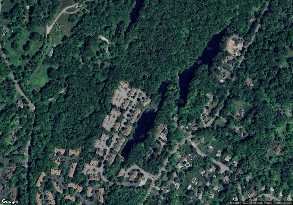
Map
- 70 Spring Pond Dr
- 6 Spring Pond Dr
- 122 Woods Brooke Cir
- 86 Woods Brooke Terrace
- 63 Deerfield Ln Unit 63
- 6 Maria Ln
- 31 Saddle Trail Unit 5
- 5 Maria Ln
- 83 Deerfield Ln
- 1 Thornton Hill
- 76 Hawkes Ave
- 22 Quail Hollow Rd
- 54 Allapartus Rd
- 227 Cedar Ln
- 41 Croton Dam Rd
- 22 Oakbrook Rd
- 281 Croton Dam Rd Unit A
- 42 Lee Ave
- 18 2nd Ave
- 81 Glendale Rd
- 81 Spring Pond Dr
- 60 Spring Pond Dr
- 59 Spring Pond Dr
- 75 Spring Pond Dr
- 77 Spring Pond Dr
- 61 Spring Pond Dr
- 61 Spring Pond Dr Unit 61
- 62 Spring Pond Dr
- 55 Spring Pond Dr
- 64 Spring Pond Dr
- 74 Spring Pond Dr
- 72 Spring Pond Dr
- 53 Spring Pond Dr
- 67 Spring Pond Dr
- 67 Spring Pond Dr Unit 67
- 99 Croton Dam Rd
- 41 Spring Pond Dr
- 51 Spring Pond Dr Unit 51
- 40 Spring Pond Dr
- 43 Spring Pond Dr
Ask me questions while you tour the home.