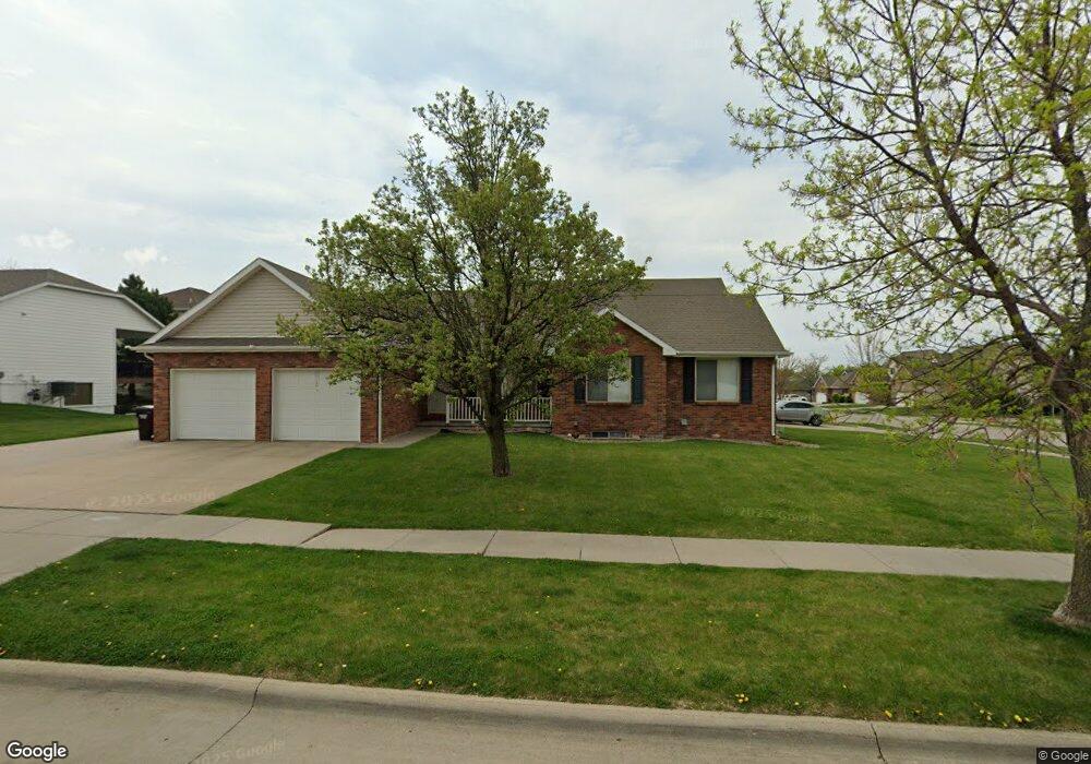
7901 E Pointe Rd Lincoln, NE 68506
Crown Pointe NeighborhoodEstimated Value: $390,000 - $526,000
5
Beds
6
Baths
2,927
Sq Ft
$161/Sq Ft
Est. Value
About This Home
This home is located at 7901 E Pointe Rd, Lincoln, NE 68506 and is currently estimated at $472,638, approximately $161 per square foot. 7901 E Pointe Rd is a home located in Lancaster County with nearby schools including Pyrtle Elementary School, Lux Middle School, and Lincoln East High School.
Ownership History
Date
Name
Owned For
Owner Type
Purchase Details
Closed on
Nov 9, 1999
Sold by
Rembolt Development Ltd
Bought by
Hornby Rodney Scott and Hornby Jennifer L
Current Estimated Value
Home Financials for this Owner
Home Financials are based on the most recent Mortgage that was taken out on this home.
Original Mortgage
$172,200
Outstanding Balance
$51,994
Interest Rate
7.83%
Mortgage Type
Commercial
Estimated Equity
$420,644
Create a Home Valuation Report for This Property
The Home Valuation Report is an in-depth analysis detailing your home's value as well as a comparison with similar homes in the area
Home Values in the Area
Average Home Value in this Area
Purchase History
| Date | Buyer | Sale Price | Title Company |
|---|---|---|---|
| Hornby Rodney Scott | -- | -- |
Source: Public Records
Mortgage History
| Date | Status | Borrower | Loan Amount |
|---|---|---|---|
| Open | Hornby Rodney Scott | $172,200 |
Source: Public Records
Tax History
| Year | Tax Paid | Tax Assessment Tax Assessment Total Assessment is a certain percentage of the fair market value that is determined by local assessors to be the total taxable value of land and additions on the property. | Land | Improvement |
|---|---|---|---|---|
| 2025 | $5,122 | $434,300 | $45,000 | $389,300 |
| 2024 | $5,122 | $370,600 | $45,000 | $325,600 |
| 2023 | $6,211 | $370,600 | $45,000 | $325,600 |
| 2022 | $6,414 | $321,800 | $35,000 | $286,800 |
| 2021 | $6,067 | $321,800 | $35,000 | $286,800 |
| 2020 | $7,538 | $394,500 | $35,000 | $359,500 |
| 2019 | $6,914 | $361,800 | $35,000 | $326,800 |
| 2018 | $6,945 | $361,800 | $35,000 | $326,800 |
| 2017 | $5,465 | $282,100 | $35,000 | $247,100 |
| 2016 | $5,493 | $282,100 | $35,000 | $247,100 |
| 2015 | $5,455 | $282,100 | $35,000 | $247,100 |
| 2014 | $5,732 | $294,700 | $35,000 | $259,700 |
| 2013 | -- | $294,700 | $35,000 | $259,700 |
Source: Public Records
Map
Nearby Homes
- 3315 S 79th St
- 8208 Bancroft Ave
- 8141 Bancroft Ave
- 7811 Stockwell St
- 3300 S 83rd St
- 2830 Crown Pointe Rd
- 2820 Crown Pointe Cir
- 8110 Cooper Ct
- 3507 Kilkee Rd
- 2601 S 76th St
- 8224 Karl Ridge Rd
- 8000 Lowell Ave
- 8110 Lowell Ave
- 3531 Firethorn Terrace
- 4117 S 78th St
- 7831 Lake St
- 8201 South St
- 3640 Doonbeg Rd
- 2021 Devoe Dr
- 8900 Birdie Run
- 7921 E Pointe Rd
- 3210 S 79th St
- 3201 Crestridge Rd
- 3211 Crestridge Rd
- 7900 E Pointe Rd
- 3300 S 79th St
- 3301 Crestridge Rd
- 7910 E Pointe Rd
- 3140 S 79th St
- 3303 S 79th St
- 3310 S 79th St
- 3200 Crestridge Rd
- 3131 Pointe Cir
- 3315 Crestridge Rd
- 3130 S 79th St
- 3305 S 79th St
- 3210 Crestridge Rd
- 3125 Pointe Cir
- 8021 E Pointe Rd
- 3300 Crestridge Rd
Your Personal Tour Guide
Ask me questions while you tour the home.