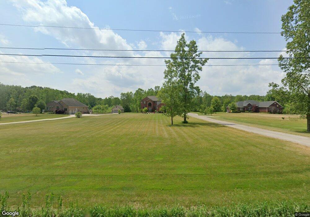
79155 Capac Rd Armada, MI 48005
Estimated Value: $465,000 - $604,000
4
Beds
3
Baths
2,500
Sq Ft
$211/Sq Ft
Est. Value
About This Home
This home is located at 79155 Capac Rd, Armada, MI 48005 and is currently estimated at $527,169, approximately $210 per square foot. 79155 Capac Rd is a home located in Macomb County with nearby schools including Orville C. Krause Elementary School, Armada Middle School, and Armada High School.
Ownership History
Date
Name
Owned For
Owner Type
Purchase Details
Closed on
Mar 6, 2015
Sold by
Cherry Creek Building Llc
Bought by
Vandesteene Kevin and Vandesteene Van Desteene
Current Estimated Value
Purchase Details
Closed on
Aug 18, 2007
Sold by
Emidion Construction Inc
Bought by
Blake Janice L
Purchase Details
Closed on
Mar 23, 2005
Sold by
Dabrowski Joseph M and Dabrowski Mary Ann
Bought by
Blake Raymond G and Blake Janice L
Create a Home Valuation Report for This Property
The Home Valuation Report is an in-depth analysis detailing your home's value as well as a comparison with similar homes in the area
Home Values in the Area
Average Home Value in this Area
Purchase History
| Date | Buyer | Sale Price | Title Company |
|---|---|---|---|
| Vandesteene Kevin | $285,000 | Greco Title Agency Llc | |
| Cherry Creek Building Llc | $37,000 | Greco Title Agency Llc | |
| Blake Janice L | -- | None Available | |
| Blake Raymond G | $72,000 | Multiple |
Source: Public Records
Tax History
| Year | Tax Paid | Tax Assessment Tax Assessment Total Assessment is a certain percentage of the fair market value that is determined by local assessors to be the total taxable value of land and additions on the property. | Land | Improvement |
|---|---|---|---|---|
| 2025 | $4,006 | $246,900 | $0 | $0 |
| 2024 | $39 | $240,200 | $0 | $0 |
| 2023 | $3,692 | $209,900 | $0 | $0 |
| 2022 | $5,590 | $189,200 | $0 | $0 |
| 2021 | $5,436 | $180,700 | $0 | $0 |
| 2020 | $3,330 | $175,600 | $0 | $0 |
| 2019 | $4,818 | $161,200 | $0 | $0 |
| 2018 | $4,717 | $159,000 | $0 | $0 |
| 2017 | $4,356 | $149,200 | $20,700 | $128,500 |
| 2016 | $4,325 | $149,200 | $0 | $0 |
| 2015 | -- | $136,800 | $0 | $0 |
| 2011 | -- | $18,219 | $18,219 | $0 |
Source: Public Records
Map
Nearby Homes
- 5414 Bordman Rd
- TBD Bordman Rd
- 73763 Coon Creek Rd
- 2.0 Acres Vacant Lan Coon Creek Rd
- 408 Howell Rd
- 14750 Reid Rd
- 21830 Bordman Rd
- 78730 Brown Rd
- 77000 Brown Rd
- 0 Romeo Plank Rd Unit 50180632
- 0 Parcel D Almont Rd
- 0 Parcel E Almont Rd
- 0 Parcel C Almont Rd
- 1020 Capac Rd
- 73325 Coon Creek Rd
- 73213 Coon Creek Rd
- 0 Capac Rd Unit G50063654
- 23100 Pratt Rd
- 72857 Romeo Plank Rd
- 0 Fox Ridge 1-A Unit 50200438
- 79155 Capac Rd
- 79155 Capac Rd
- 79155 Capac Rd
- 79223 Capac Rd
- 79101 Capac Rd
- 0 Capac Unit 4959936
- 0 Capac Unit 4971638
- 0 Capac Unit 4965205
- 0 Capac Unit 4964092
- 0 Capac Unit 4972942
- 0 Capac Unit 4962951
- 0 Capac Unit 909649
- 0 Capac Unit 31156026
- 0 Capac Unit 213067729
- 0 Capac Unit 31178114
- 0 Capac Unit 214001730
- 0 Capac Unit 31197702
- 79047 Capac Rd
- 79047 Capac Rd
- 79047 Capac Rd
Your Personal Tour Guide
Ask me questions while you tour the home.