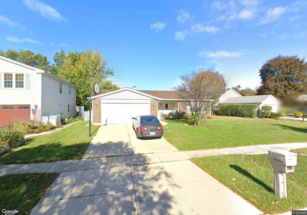
792 Lehigh Ln Unit 2 Buffalo Grove, IL 60089
South Buffalo Grove NeighborhoodEstimated Value: $423,767 - $448,000
3
Beds
2
Baths
1,728
Sq Ft
$251/Sq Ft
Est. Value
About This Home
This home is located at 792 Lehigh Ln Unit 2, Buffalo Grove, IL 60089 and is currently estimated at $433,442, approximately $250 per square foot. 792 Lehigh Ln Unit 2 is a home located in Cook County with nearby schools including J.W. Riley Elementary School, Jack London Middle School, and Buffalo Grove High School.
Ownership History
Date
Name
Owned For
Owner Type
Purchase Details
Closed on
Sep 27, 2000
Sold by
Hampton Scott M
Bought by
Hampton Jill A
Current Estimated Value
Purchase Details
Closed on
Oct 13, 1995
Sold by
Siepmann John F and Siepmann Loretta M
Bought by
Hampton Jill A
Home Financials for this Owner
Home Financials are based on the most recent Mortgage that was taken out on this home.
Original Mortgage
$115,000
Interest Rate
7.68%
Create a Home Valuation Report for This Property
The Home Valuation Report is an in-depth analysis detailing your home's value as well as a comparison with similar homes in the area
Home Values in the Area
Average Home Value in this Area
Purchase History
| Date | Buyer | Sale Price | Title Company |
|---|---|---|---|
| Hampton Jill A | -- | -- | |
| Hampton Jill A | $157,000 | Republic Title Company |
Source: Public Records
Mortgage History
| Date | Status | Borrower | Loan Amount |
|---|---|---|---|
| Closed | Hampton Jill A | $115,000 |
Source: Public Records
Tax History
| Year | Tax Paid | Tax Assessment Tax Assessment Total Assessment is a certain percentage of the fair market value that is determined by local assessors to be the total taxable value of land and additions on the property. | Land | Improvement |
|---|---|---|---|---|
| 2025 | $8,332 | $39,001 | $8,810 | $30,191 |
| 2024 | $8,332 | $32,000 | $7,551 | $24,449 |
| 2023 | $8,800 | $32,000 | $7,551 | $24,449 |
| 2022 | $8,800 | $32,000 | $7,551 | $24,449 |
| 2021 | $8,696 | $27,945 | $4,824 | $23,121 |
| 2020 | $8,969 | $29,191 | $4,824 | $24,367 |
| 2019 | $8,970 | $32,399 | $4,824 | $27,575 |
| 2018 | $8,712 | $28,733 | $4,195 | $24,538 |
| 2017 | $8,572 | $28,733 | $4,195 | $24,538 |
| 2016 | $8,240 | $28,733 | $4,195 | $24,538 |
| 2015 | $6,607 | $22,072 | $3,565 | $18,507 |
| 2014 | $6,516 | $22,072 | $3,565 | $18,507 |
| 2013 | $6,693 | $24,301 | $3,565 | $20,736 |
Source: Public Records
Map
Nearby Homes
- 782 Lehigh Ln
- 3096 N Daniels Ct Unit 406
- 3116 N Daniels Ct Unit 602
- 3223 N Heritage Ln
- 3300 N Carriageway Dr Unit 309
- 3401 N Carriageway Dr Unit 208
- 631 Hapsfield Ln Unit 631106
- 820 Weidner Rd Unit 409
- 621 Hapsfield Ln Unit 103
- 671 Hapsfield Ln Unit 105
- 611 Hapsfield Ln Unit 100
- 760 Weidner Rd Unit 107
- 760 Weidner Rd Unit 307
- 5 Villa Verde Dr Unit 115
- 3 Villa Verde Dr Unit 311
- 2 Villa Verde Dr Unit 201
- 2806 N Stanford Dr
- 214 W Hintz Rd
- 1205 E Hintz Rd Unit 208
- 2620 N Windsor Dr Unit 204
- 800 Lehigh Ln
- 823 Saratoga Ln
- 831 Saratoga Ln
- 797 Saratoga Ln
- 787 Lehigh Ln
- 793 Lehigh Ln
- 835 Saratoga Ln
- 785 Lehigh Ln
- 820 Lehigh Ln
- 801 Lehigh Ln
- 781 Lehigh Ln
- 843 Saratoga Ln
- 813 Lehigh Ln
- 779 Lehigh Ln
- 832 Lehigh Ln
- 780 Saratoga Ln
- 1378 Mill Creek Dr
- 1370 Mill Creek Dr
- 821 Lehigh Ln
- 1362 Mill Creek Dr
Your Personal Tour Guide
Ask me questions while you tour the home.