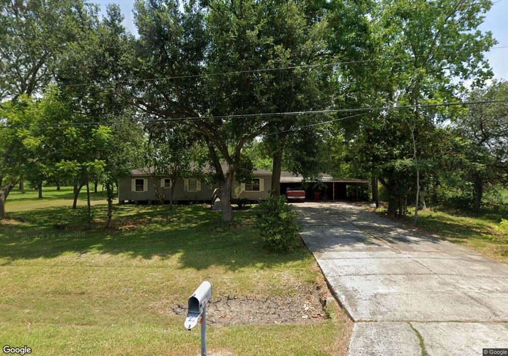
7946 Moore Rd Pearland, TX 77584
Estimated Value: $313,910 - $474,000
About This Home
This home is located at 7946 Moore Rd, Pearland, TX 77584 and is currently estimated at $369,978, approximately $244 per square foot. 7946 Moore Rd is a home located in Brazoria County with nearby schools including Mark Twain Elementary School, G.W. Harby Junior High School, and Manvel High School.
Ownership History
We collect this data history from publicly available records. To have your information removed, we recommend requesting removal directly through your county’s website.
Purchase Details
Home Financials for this Owner
Home Financials are based on the most recent Mortgage that was taken out on this home.Purchase Details
Home Values in the Area
Average Home Value in this Area
Purchase History
We collect this data history from publicly available records. To have your information removed, we recommend requesting removal directly through your county’s website.
| Date | Buyer | Sale Price | Title Company |
|---|---|---|---|
| -- | None Available | ||
| -- | None Available |
Mortgage History
We collect this data history from publicly available records. To have your information removed, we recommend requesting removal directly through your county’s website.
| Date | Status | Borrower | Loan Amount |
|---|---|---|---|
| Closed | $66,187 |
Tax History
We collect this data history from publicly available records. To have your information removed, we recommend requesting removal directly through your county’s website.
| Year | Tax Paid | Tax Assessment Tax Assessment Total Assessment is a certain percentage of the fair market value that is determined by local assessors to be the total taxable value of land and additions on the property. | Land | Improvement |
|---|---|---|---|---|
| 2025 | $5,855 | $299,230 | $152,980 | $146,250 |
| 2023 | $5,855 | $434,720 | $235,710 | $199,010 |
| 2022 | $4,027 | $189,870 | $90,140 | $99,730 |
| 2021 | $3,473 | $156,500 | $82,410 | $74,090 |
| 2020 | $4,135 | $192,800 | $117,000 | $75,800 |
| 2019 | $4,176 | $188,810 | $117,000 | $71,810 |
| 2018 | $3,325 | $149,990 | $78,750 | $71,240 |
| 2017 | $3,169 | $153,700 | $85,310 | $68,390 |
| 2016 | $2,881 | $149,140 | $85,310 | $63,830 |
Map
- COUNTRY RD 143 County Road 112
- 17625 Pearland Sites Rd
- 18535 Bounds Dr Unit C175C
- 18111 Roy Long Rd
- 3428 Summercrisp Hollow Ln
- 7225 Libby Ln
- 4017 Atago Tree Ln
- 3331 Summercrisp Hollow Ln
- 3327 Summercrisp Hollow Ln
- 3331 Concorde Heights Dr
- 000 Dixie Farm
- 3315 Concorde Heights Dr
- 3323 Concorde Heights Dr
- 00 Cr 175
- 274 Green Oak Dr
- 7225 7225 Libby Ln
- 4001 Ripe Meadow Way
- 4003 Ripe Meadow Way
- 4005 Ripe Meadow Way
- 7223 Libby Ln
- 7946 Moore Rd
- 0 Moore Rd
- 7914 County Road 162
- 7809 Moore Rd
- 7801 Moore Rd
- 7801 Moore Rd Unit CR162
- 7914 Moore Rd
- 8007 Moore Rd
- 8005 Moore Rd
- 8005 Moore Rd Unit B
- 7905 Moore Rd
- 8006 Moore Rd
- 8006 County Road 162
- 7842 Lester St
- 7842 Lester St
- 8003 Moore Rd
- 7901 Moore Rd
- 7844 Lester St
- 8010 Moore Rd
- 8011 Moore Rd
Ask me questions while you tour the home.