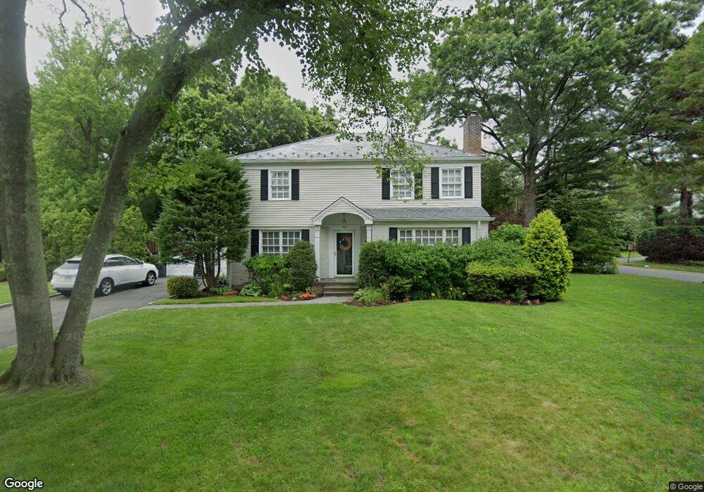
795 Hunt Ln Manhasset, NY 11030
Estimated Value: $2,526,052
4
Beds
3
Baths
2,916
Sq Ft
$866/Sq Ft
Est. Value
About This Home
This home is located at 795 Hunt Ln, Manhasset, NY 11030 and is currently estimated at $2,526,052, approximately $866 per square foot. 795 Hunt Ln is a home located in Nassau County with nearby schools including Manhasset Secondary School, St Mary's Elementary School, and St. Mary's College Preparatory High School.
Ownership History
Date
Name
Owned For
Owner Type
Purchase Details
Closed on
Aug 6, 2013
Sold by
Mckenna Arthur V and Mckenna Margo J
Bought by
Ventouratos George and Ventouratos Vassiliki
Current Estimated Value
Home Financials for this Owner
Home Financials are based on the most recent Mortgage that was taken out on this home.
Original Mortgage
$625,200
Interest Rate
4.52%
Create a Home Valuation Report for This Property
The Home Valuation Report is an in-depth analysis detailing your home's value as well as a comparison with similar homes in the area
Home Values in the Area
Average Home Value in this Area
Purchase History
| Date | Buyer | Sale Price | Title Company |
|---|---|---|---|
| Ventouratos George | $1,525,000 | All State Abstract Company |
Source: Public Records
Mortgage History
| Date | Status | Borrower | Loan Amount |
|---|---|---|---|
| Previous Owner | Ventouratos George | $625,200 |
Source: Public Records
Tax History
| Year | Tax Paid | Tax Assessment Tax Assessment Total Assessment is a certain percentage of the fair market value that is determined by local assessors to be the total taxable value of land and additions on the property. | Land | Improvement |
|---|---|---|---|---|
| 2025 | $22,267 | $1,490 | $732 | $758 |
| 2024 | $5,922 | $1,496 | $735 | $761 |
Source: Public Records
Map
Nearby Homes
- 409 Abbey Rd
- 448 Abbey Rd N
- 265 Northwoods Rd
- 91 Port Washington Blvd
- 64 Middleneck Rd
- 84 Middle Neck Rd
- 26 the Hemlocks
- 304 Aerie Ct
- 97 Crabapple Rd
- 15 Hilltop Dr
- 4 Peachtree Ln
- 2 Hickory Hill
- 107 Manhasset Woods Rd
- 183 Mill Spring Rd
- 90 Elderfields Rd
- 18 Woodland Rd
- 207 Mill Spring Rd
- 19 Ridge Dr E
- 23 Estates Terrace N
- 21 the Birches
Your Personal Tour Guide
Ask me questions while you tour the home.