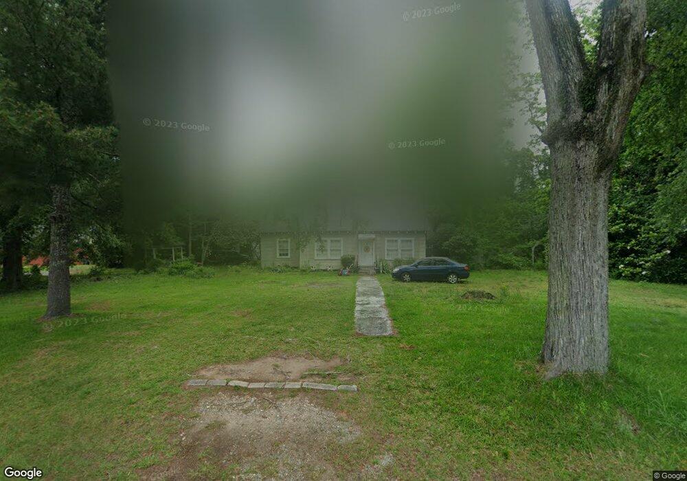
7973 Rivoli Rd Macon, GA 31210
Bolingbroke NeighborhoodEstimated Value: $221,773 - $270,000
About This Home
This home is located at 7973 Rivoli Rd, Macon, GA 31210 and is currently estimated at $236,943, approximately $195 per square foot. 7973 Rivoli Rd is a home with nearby schools including T.G. Scott Elementary School, Mary Persons High School, and Wynfield Christian Academy.
Ownership History
We collect this data history from publicly available records. To have your information removed, we recommend requesting removal directly through your county’s website.
Purchase Details
Purchase Details
Purchase Details
Purchase Details
Purchase Details
Purchase Details
Home Values in the Area
Average Home Value in this Area
Purchase History
We collect this data history from publicly available records. To have your information removed, we recommend requesting removal directly through your county’s website.
| Date | Buyer | Sale Price | Title Company |
|---|---|---|---|
| -- | -- | ||
| $120,000 | -- | ||
| -- | -- | ||
| -- | -- | ||
| -- | -- | ||
| $145,000 | -- | ||
| -- | -- |
Tax History
We collect this data history from publicly available records. To have your information removed, we recommend requesting removal directly through your county’s website.
| Year | Tax Paid | Tax Assessment Tax Assessment Total Assessment is a certain percentage of the fair market value that is determined by local assessors to be the total taxable value of land and additions on the property. | Land | Improvement |
|---|---|---|---|---|
| 2025 | $1,513 | $53,736 | $40,000 | $13,736 |
| 2024 | $1,513 | $53,736 | $40,000 | $13,736 |
| 2023 | $1,453 | $51,496 | $40,000 | $11,496 |
| 2022 | $1,394 | $51,496 | $40,000 | $11,496 |
| 2021 | $1,443 | $51,496 | $40,000 | $11,496 |
| 2020 | $1,379 | $51,496 | $40,000 | $11,496 |
| 2019 | $1,086 | $37,488 | $25,000 | $12,488 |
| 2018 | $1,089 | $37,488 | $25,000 | $12,488 |
| 2017 | $1,090 | $37,488 | $25,000 | $12,488 |
| 2016 | $1,036 | $37,488 | $25,000 | $12,488 |
| 2015 | $982 | $37,488 | $25,000 | $12,488 |
| 2014 | $947 | $37,488 | $25,000 | $12,488 |
Map
- 15 Wadley Station Ct
- 91 Wadley Station Ln
- 50 Willow Way
- 127 Bolingview Rd
- 140 Caroline Ct
- 202 Hilltop Cir
- 4763 US Highway 41 S
- 311 N Rivoli Farms Dr
- 105 Loraine Woods Ct
- 723 Dunblane Dr
- 120 Loraine Forest Dr
- 229 Cardiff Dr
- 72 Tobler Creek Ln
- 108 Magnolia Ct
- 414 Arden Ln N
- 5784 Kentucky Downs Dr
- 330 Veranda Ln
- 506 Whistler Ln N
- 855 Tufthunter
- 859 Tufthunter
- 0 U S 41
- 6035 Us Highway 41 S
- 96 Bolingbroke Cir
- 124 Cory Dr
- 8061 Rivoli Rd
- 6183 Highway 41 S
- 1143 Klopfer
- 340 Bolingridge Dr
- 108 Cory Dr
- 59 Bolingbroke Cir
- 120 Kent Dr Unit 2A
- 85 Head Rd
- 5327 Us Highway 41 S
- 234 Cory Dr
- 150 Cory Dr
- 88 Cory Dr
- 112 Cory Dr
- 112 Cory Dr Unit 7
- 47 Bolingbroke Cir
- 214 Cory Dr
Ask me questions while you tour the home.