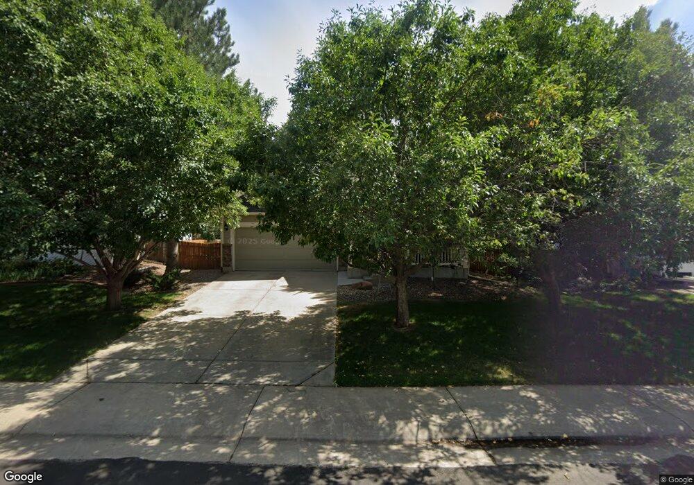
7993 McKissic Ave Frederick, CO 80530
Estimated Value: $401,000 - $474,000
About This Home
This home is located at 7993 McKissic Ave, Frederick, CO 80530 and is currently estimated at $445,707, approximately $212 per square foot. 7993 McKissic Ave is a home located in Weld County with nearby schools including Thunder Valley K-8 and Frederick Senior High School.
Ownership History
We collect this data history from publicly available records. To have your information removed, we recommend requesting removal directly through your county’s website.
Purchase Details
Home Financials for this Owner
Home Financials are based on the most recent Mortgage that was taken out on this home.Purchase Details
Purchase Details
Purchase Details
Home Financials for this Owner
Home Financials are based on the most recent Mortgage that was taken out on this home.Home Values in the Area
Average Home Value in this Area
Purchase History
We collect this data history from publicly available records. To have your information removed, we recommend requesting removal directly through your county’s website.
| Date | Buyer | Sale Price | Title Company |
|---|---|---|---|
| -- | None Available | ||
| -- | None Available | ||
| -- | None Available | ||
| $190,000 | Land Title Guarantee Company |
Mortgage History
We collect this data history from publicly available records. To have your information removed, we recommend requesting removal directly through your county’s website.
| Date | Status | Borrower | Loan Amount |
|---|---|---|---|
| Open | $219,750 | ||
| Closed | $187,064 |
Tax History
We collect this data history from publicly available records. To have your information removed, we recommend requesting removal directly through your county’s website.
| Year | Tax Paid | Tax Assessment Tax Assessment Total Assessment is a certain percentage of the fair market value that is determined by local assessors to be the total taxable value of land and additions on the property. | Land | Improvement |
|---|---|---|---|---|
| 2026 | $3,246 | $28,390 | $7,340 | $21,050 |
| 2025 | $2,925 | $28,990 | $7,500 | $21,490 |
| 2024 | $2,925 | $28,990 | $7,500 | $21,490 |
| 2023 | $2,806 | $32,090 | $6,770 | $25,320 |
| 2022 | $2,501 | $23,970 | $5,210 | $18,760 |
| 2021 | $2,526 | $24,660 | $5,360 | $19,300 |
| 2020 | $2,296 | $22,600 | $3,930 | $18,670 |
| 2019 | $2,330 | $22,600 | $3,930 | $18,670 |
| 2018 | $1,899 | $19,120 | $3,960 | $15,160 |
| 2017 | $1,941 | $19,120 | $3,960 | $15,160 |
| 2016 | $1,749 | $16,950 | $2,870 | $14,080 |
| 2015 | $1,696 | $16,950 | $2,870 | $14,080 |
| 2014 | $1,383 | $13,840 | $2,390 | $11,450 |
Map
- 6289 Taft St
- 6287 Gorham St
- 6151 Shamrock Cir
- 7900 Mountain View Dr Unit 252
- 7805 Sunflower Green Unit 140
- 7750 Hummingbird Green
- 6124 Graden St
- 6161 Clayton St
- 7725 Primrose Green Unit 165
- 3620 County Road 15
- 1030 MacDavidson Cir
- 6601 Catalpa Ct
- 827 Spruce Ct
- 6659 12th St
- 7995 Angel View Dr
- 6803 Spruce St
- 6803 Ponderosa St
- 7992 Saint St
- 7990 Saint St
- 6821 Sequoia St
- 7991 McKissic Ave
- 7995 McKissic Ave
- 7989 McKissic Ave
- 6285 Taft St
- 7997 McKissic Ave
- 6286 Gorham St
- 7992 Shamrock Cir
- 6286 Taft St
- 7994 Shamrock Cir
- 7990 Shamrock Cir
- 6287 Taft St
- 7988 Shamrock Cir
- 7996 Shamrock Cir
- 6288 Gorham St
- 7986 Shamrock Cir
- 6288 Taft St
- 6290 Gorham St
- 6158 Shamrock Cir
- 6290 Taft St
- 6285 Gorham St
Ask me questions while you tour the home.