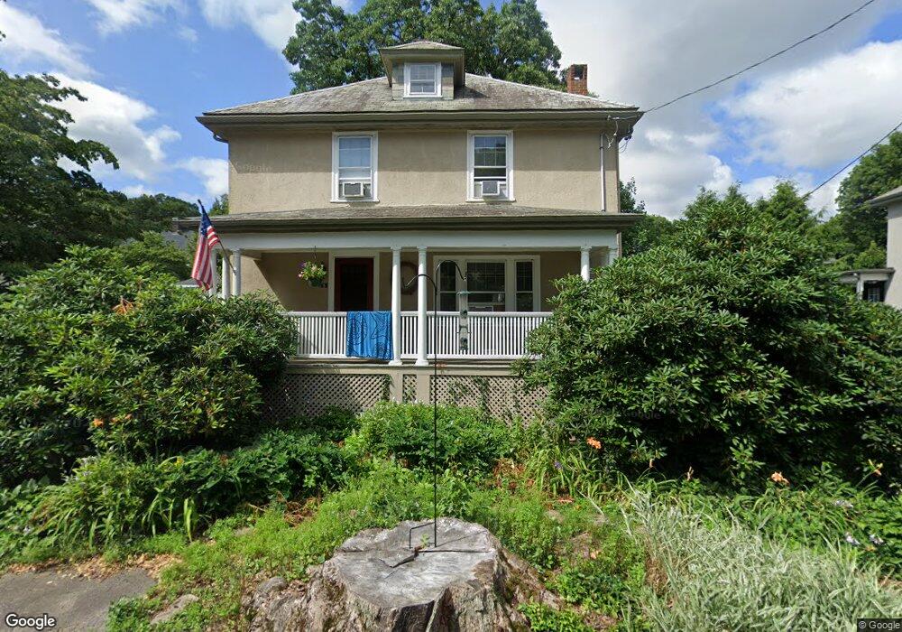
8 Cantwell Rd Milton, MA 02186
Columbine Cliffs NeighborhoodEstimated Value: $876,000 - $1,093,000
About This Home
This home is located at 8 Cantwell Rd, Milton, MA 02186 and is currently estimated at $1,021,753, approximately $526 per square foot. 8 Cantwell Rd is a home located in Norfolk County with nearby schools including Milton High School, Conservatory Lab Upper School, and KIPP Academy Boston Charter School.
Ownership History
We collect this data history from publicly available records. To have your information removed, we recommend requesting removal directly through your county’s website.
Purchase Details
Home Financials for this Owner
Home Financials are based on the most recent Mortgage that was taken out on this home.Purchase Details
Home Values in the Area
Average Home Value in this Area
Purchase History
We collect this data history from publicly available records. To have your information removed, we recommend requesting removal directly through your county’s website.
| Date | Buyer | Sale Price | Title Company |
|---|---|---|---|
| $485,000 | -- | ||
| $213,250 | -- |
Mortgage History
We collect this data history from publicly available records. To have your information removed, we recommend requesting removal directly through your county’s website.
| Date | Status | Borrower | Loan Amount |
|---|---|---|---|
| Open | $371,000 | ||
| Closed | $379,400 | ||
| Closed | $388,000 | ||
| Closed | $48,500 | ||
| Previous Owner | $125,000 |
Tax History
We collect this data history from publicly available records. To have your information removed, we recommend requesting removal directly through your county’s website.
| Year | Tax Paid | Tax Assessment Tax Assessment Total Assessment is a certain percentage of the fair market value that is determined by local assessors to be the total taxable value of land and additions on the property. | Land | Improvement |
|---|---|---|---|---|
| 2025 | $9,802 | $883,900 | $507,800 | $376,100 |
| 2024 | $9,470 | $867,200 | $483,600 | $383,600 |
| 2023 | $9,291 | $815,000 | $460,600 | $354,400 |
| 2022 | $9,179 | $736,100 | $460,600 | $275,500 |
| 2021 | $8,729 | $664,800 | $402,400 | $262,400 |
| 2020 | $8,556 | $652,100 | $394,800 | $257,300 |
| 2019 | $8,344 | $633,100 | $383,300 | $249,800 |
| 2018 | $7,990 | $578,600 | $333,700 | $244,900 |
| 2017 | $7,476 | $551,300 | $317,800 | $233,500 |
| 2016 | $7,375 | $546,300 | $317,800 | $228,500 |
| 2015 | $7,250 | $520,100 | $296,600 | $223,500 |
Map
- 13 Cantwell Rd
- 34 Avalon Rd
- 40 Allen Cir
- 71 Capen St
- 60 Marilyn Rd
- 67 Maple St
- 3 Windsor Rd
- 30 School St
- 24 School St
- 570 Eliot St
- 168 Brook Rd
- 9 Viking Terrace
- 583 Eliot St Unit 583
- 14 Brookside Park
- 147 Canton Ave
- 196 Canton Ave
- 23-27 Cedar St Unit 25
- 23-27 Cedar St Unit 27
- 10 Magnolia Rd
- 96 Standard St
Ask me questions while you tour the home.