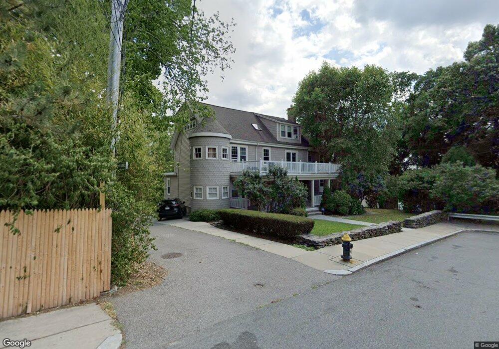
8 Chisholm Ln Unit 2 Roslindale, MA 02131
Roslindale NeighborhoodEstimated Value: $855,000 - $959,000
4
Beds
4
Baths
2,400
Sq Ft
$383/Sq Ft
Est. Value
About This Home
This home is located at 8 Chisholm Ln Unit 2, Roslindale, MA 02131 and is currently estimated at $919,030, approximately $382 per square foot. 8 Chisholm Ln Unit 2 is a home located in Suffolk County with nearby schools including Brooke Charter School Roslindale, Sacred Heart STEM School, and St. Clare High School.
Ownership History
Date
Name
Owned For
Owner Type
Purchase Details
Closed on
Jun 13, 2007
Sold by
Chisholm Lane Condo
Bought by
Jack Christine and Jack John
Current Estimated Value
Home Financials for this Owner
Home Financials are based on the most recent Mortgage that was taken out on this home.
Original Mortgage
$412,000
Outstanding Balance
$252,101
Interest Rate
6.19%
Mortgage Type
Purchase Money Mortgage
Estimated Equity
$666,929
Create a Home Valuation Report for This Property
The Home Valuation Report is an in-depth analysis detailing your home's value as well as a comparison with similar homes in the area
Home Values in the Area
Average Home Value in this Area
Purchase History
We collect this data history from publicly available records. To have your information removed, we recommend requesting removal directly through your county’s website.
| Date | Buyer | Sale Price | Title Company |
|---|---|---|---|
| Jack Christine | $515,000 | -- | |
| Jack Christine | $515,000 | -- |
Source: Public Records
Mortgage History
We collect this data history from publicly available records. To have your information removed, we recommend requesting removal directly through your county’s website.
| Date | Status | Borrower | Loan Amount |
|---|---|---|---|
| Open | Jack Christine | $412,000 | |
| Closed | Jack Christine | $412,000 |
Source: Public Records
Tax History
| Year | Tax Paid | Tax Assessment Tax Assessment Total Assessment is a certain percentage of the fair market value that is determined by local assessors to be the total taxable value of land and additions on the property. | Land | Improvement |
|---|---|---|---|---|
| 2025 | $9,762 | $843,000 | $0 | $843,000 |
| 2024 | $7,593 | $696,600 | $0 | $696,600 |
| 2023 | $7,121 | $663,000 | $0 | $663,000 |
| 2022 | $6,740 | $619,500 | $0 | $619,500 |
| 2021 | $6,178 | $579,000 | $0 | $579,000 |
| 2020 | $6,276 | $594,300 | $0 | $594,300 |
| 2019 | $5,965 | $565,900 | $0 | $565,900 |
| 2018 | $5,931 | $565,900 | $0 | $565,900 |
| 2017 | $5,707 | $538,900 | $0 | $538,900 |
| 2016 | $5,389 | $489,900 | $0 | $489,900 |
| 2015 | $4,826 | $398,500 | $0 | $398,500 |
| 2014 | $4,112 | $326,900 | $0 | $326,900 |
Source: Public Records
Map
Nearby Homes
- 41 Cornell St
- 498 Beech St
- 142 Metropolitan Ave Unit 2
- 142 Metropolitan Ave Unit 1
- 142 Metropolitan Ave
- 5 7 Hemman St
- 29 Denton Terrace
- 25 Crandall St
- 55 Metropolitan Ave
- 10 Crandall St
- 25 Pinedale Rd Unit 1
- 567 Poplar St
- 86 Hawthorne St
- 699 Hyde Park Ave Unit 6
- 6 Hayes Rd Unit 25
- 128 Dale St
- 196 Durnell Ave Unit 196
- 55 Brown Ave
- 38 Grassmere Rd
- 797-799 Hyde Park Ave
- 90A Hemman St
- 90 Hemman St
- 92 Hemman St
- 25 Highfield Rd
- 88 Hemman St
- 88 Hemman St Unit 1
- 23 Highfield Rd
- 89 Hemman St
- 87 Hemman St
- 4 Chisholm Ln Unit 2
- 4 Chisholm Ln Unit 3
- 30 Highfield Rd Unit 1
- 30 Highfield Rd
- 45 Ethel St
- 26 Highfield Rd
- 26 Highfield Rd Unit C
- 26 Highfield Rd Unit 3
- 26 Highfield Rd Unit 2
- 26 Highfield Rd Unit 1
- 84 Hemman St
Your Personal Tour Guide
Ask me questions while you tour the home.