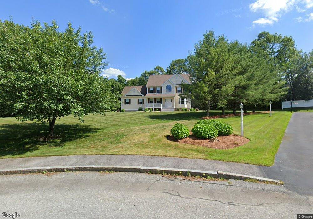
8 Cortland Cir Dracut, MA 01826
Estimated Value: $861,029 - $994,000
About This Home
This home is located at 8 Cortland Cir, Dracut, MA 01826 and is currently estimated at $920,757, approximately $338 per square foot. 8 Cortland Cir is a home located in Middlesex County with nearby schools including Joseph A. Campbell Elementary School, Richardson Middle School, and Dracut Senior High School.
Ownership History
We collect this data history from publicly available records. To have your information removed, we recommend requesting removal directly through your county’s website.
Purchase Details
Home Financials for this Owner
Home Financials are based on the most recent Mortgage that was taken out on this home.Home Values in the Area
Average Home Value in this Area
Purchase History
We collect this data history from publicly available records. To have your information removed, we recommend requesting removal directly through your county’s website.
| Date | Buyer | Sale Price | Title Company |
|---|---|---|---|
| $507,000 | -- |
Mortgage History
We collect this data history from publicly available records. To have your information removed, we recommend requesting removal directly through your county’s website.
| Date | Status | Borrower | Loan Amount |
|---|---|---|---|
| Open | $130,000 |
Tax History
We collect this data history from publicly available records. To have your information removed, we recommend requesting removal directly through your county’s website.
| Year | Tax Paid | Tax Assessment Tax Assessment Total Assessment is a certain percentage of the fair market value that is determined by local assessors to be the total taxable value of land and additions on the property. | Land | Improvement |
|---|---|---|---|---|
| 2025 | $7,841 | $774,800 | $252,100 | $522,700 |
| 2024 | $7,646 | $731,700 | $240,300 | $491,400 |
| 2023 | $7,409 | $639,800 | $209,000 | $430,800 |
| 2022 | $7,422 | $603,900 | $190,000 | $413,900 |
| 2021 | $7,162 | $550,500 | $172,600 | $377,900 |
| 2020 | $7,030 | $526,600 | $167,400 | $359,200 |
| 2019 | $7,003 | $509,300 | $159,400 | $349,900 |
| 2018 | $6,987 | $494,100 | $159,400 | $334,700 |
| 2017 | $6,953 | $494,100 | $159,400 | $334,700 |
| 2016 | $6,853 | $461,800 | $160,200 | $301,600 |
| 2015 | $6,574 | $440,300 | $160,200 | $280,100 |
| 2014 | $6,154 | $424,700 | $160,200 | $264,500 |
Map
- 51 Tamarack Rd
- 785 Broadway Rd
- 103 Meadow Creek Dr
- 23 Fox Hill Ln Unit 23
- 207 Trout Brook Rd
- 341 Broadway Rd
- 15 Esther Way Unit Lot 8
- 13 Esther Way Unit 7
- 10 Appaloosa Ave
- 24 Novak Cir
- 20 Grouse Run
- 20 Farm Pond Rd
- 335 Pelham Rd
- 10 Lanseigne St
- 302 Salem Rd
- 50 Frank St Unit 50
- 58 Leo Ave
- 1544 Bridge St
- 5 Falcon Dr
- 215 Lexington Rd
- 11 Cortland Cir
- 111 Tamarack Rd
- 2 Macintosh Dr
- 101 Tamarack Dr Unit Lot 76a
- 10 Macintosh Dr
- 230 Jones Ave
- 30 Tamarack Road (Lot 86)
- 91 Tamarack Rd
- 7 Cortland Cir
- 81 Tamarack Dr Unit Lot 74a
- 20 Macintosh Dr
- 71 Tamarack Dr Unit Lot 73A
- 31 Sycamore Dr Unit Lot 80
- 100 Tamarack Rd
- 100 Tamarack Rd Unit Lot 94A
- 80 Tamarack Rd Unit Lot 81
- 110 Tamarack Rd Unit Lot 178a
- 17 Macintosh Dr
- 28 Sycamore Dr Unit Lot 95
- 28 Sycamore Dr
Ask me questions while you tour the home.